39 Pilgrims Path Sudbury, MA 01776
Estimated Value: $1,006,000 - $1,299,000
4
Beds
2
Baths
1,548
Sq Ft
$716/Sq Ft
Est. Value
About This Home
This home is located at 39 Pilgrims Path, Sudbury, MA 01776 and is currently estimated at $1,107,781, approximately $715 per square foot. 39 Pilgrims Path is a home located in Middlesex County with nearby schools including Peter Noyes Elementary School, Ephraim Curtis Middle School, and Lincoln-Sudbury Regional High School.
Ownership History
Date
Name
Owned For
Owner Type
Purchase Details
Closed on
Jan 15, 2002
Sold by
Blum Sudbury Rt and Blum John B
Bought by
Rivkin Carl H and Barrett Maureen
Current Estimated Value
Home Financials for this Owner
Home Financials are based on the most recent Mortgage that was taken out on this home.
Original Mortgage
$360,000
Outstanding Balance
$147,113
Interest Rate
7.04%
Mortgage Type
Purchase Money Mortgage
Estimated Equity
$960,668
Create a Home Valuation Report for This Property
The Home Valuation Report is an in-depth analysis detailing your home's value as well as a comparison with similar homes in the area
Home Values in the Area
Average Home Value in this Area
Purchase History
| Date | Buyer | Sale Price | Title Company |
|---|---|---|---|
| Rivkin Carl H | $480,000 | -- |
Source: Public Records
Mortgage History
| Date | Status | Borrower | Loan Amount |
|---|---|---|---|
| Open | Rivkin Carl H | $360,000 |
Source: Public Records
Tax History Compared to Growth
Tax History
| Year | Tax Paid | Tax Assessment Tax Assessment Total Assessment is a certain percentage of the fair market value that is determined by local assessors to be the total taxable value of land and additions on the property. | Land | Improvement |
|---|---|---|---|---|
| 2025 | $12,112 | $827,300 | $423,000 | $404,300 |
| 2024 | $11,700 | $800,800 | $411,500 | $389,300 |
| 2023 | $11,078 | $702,500 | $383,200 | $319,300 |
| 2022 | $10,673 | $591,300 | $354,000 | $237,300 |
| 2021 | $10,486 | $556,900 | $354,000 | $202,900 |
| 2020 | $10,275 | $556,900 | $354,000 | $202,900 |
| 2019 | $9,881 | $551,700 | $354,000 | $197,700 |
| 2018 | $9,835 | $548,500 | $371,000 | $177,500 |
| 2017 | $9,388 | $529,200 | $366,900 | $162,300 |
| 2016 | $9,101 | $511,300 | $354,000 | $157,300 |
| 2015 | $9,467 | $537,900 | $359,700 | $178,200 |
| 2014 | $9,450 | $524,100 | $350,000 | $174,100 |
Source: Public Records
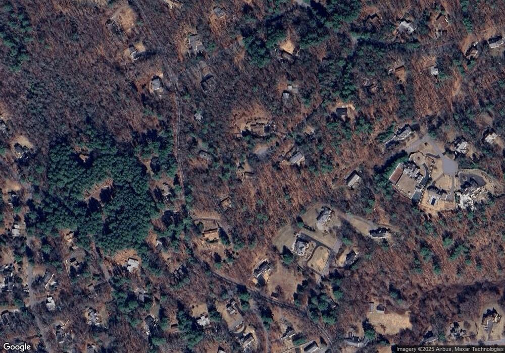
Map
Nearby Homes
- 94 Goodmans Hill Rd
- 23 Massasoit Ave
- 36 Concord Rd
- 6 Old County Rd Unit 16
- 216 Landham Rd
- 270 Old Lancaster Rd
- 1011 Boston Post Rd
- 427 Concord Rd
- 89 Bridle Path
- 0 Wagonwheel Rd
- 25 Bridle Path
- 63 Landham Rd
- 24 Woodland Rd
- 84 Hopestill Brown Rd
- 128 Nobscot Rd
- 7 Adams Rd
- 24 Goodnow Rd
- 23 Cider Mill Rd
- 17 Glezen Ln
- 0 Robbins Rd
- 39 Pilgrims Path
- 146 Goodmans Hill Rd
- 29 Pilgrims Path
- 160 Goodmans Hill Rd
- 34 Pilgrims Path
- 140 Goodman's Hill Rd
- 140 Goodmans Hill Rd
- 149 Goodmans Hill Rd
- 166 Goodmans Hill Rd
- 23 Pilgrims Path
- 12 Kato Dr
- 24 Pilgrims Path
- 141 Goodmans Hill Rd
- 155 Goodmans Hill Rd
- 118 Goodmans Hill Rd
- 161 Goodmans Hill Rd
- 16 Kato Dr
- 139 Goodmans Hill Rd
- 15 Pilgrims Path
- 133 Goodmans Hill Rd