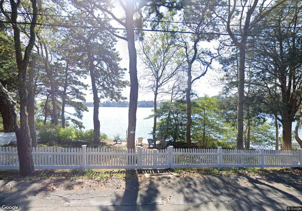
39 Pond St West Dennis, MA 2670
West Dennis Neighborhood
--
Bed
--
Bath
--
Sq Ft
3,615
Sq Ft Lot
About This Home
This home is located at 39 Pond St, West Dennis, MA 2670. 39 Pond St is a home located in Barnstable County with nearby schools including Dennis-Yarmouth Regional High School and St. Pius X. School.
Ownership History
Date
Name
Owned For
Owner Type
Purchase Details
Closed on
Feb 23, 2024
Sold by
Azzoli Geraldine A
Bought by
Geraldine A Azzoli T A and Geraldine Azzoli
Purchase Details
Closed on
Sep 18, 2023
Sold by
Moncevicz Sandra A and Moncevicz Donald W
Bought by
Donald W Moncevicz T W and Donald Moncevicz
Purchase Details
Closed on
Sep 20, 2021
Sold by
Goodale Prudence H and Buckley Mariana E
Bought by
Moncevicz Donald W and Moncevicz Sandra A
Purchase Details
Closed on
Oct 2, 2018
Sold by
Goodhall Corinne L
Bought by
Corinne L Goodhall Irt and Goodhall
Create a Home Valuation Report for This Property
The Home Valuation Report is an in-depth analysis detailing your home's value as well as a comparison with similar homes in the area
Home Values in the Area
Average Home Value in this Area
Purchase History
| Date | Buyer | Sale Price | Title Company |
|---|---|---|---|
| Geraldine A Azzoli T A | -- | None Available | |
| Geraldine A Azzoli T A | -- | None Available | |
| Donald W Moncevicz T W | -- | None Available | |
| Donald W Moncevicz T W | -- | None Available | |
| Moncevicz Donald W | -- | None Available | |
| Moncevicz Donald W | -- | None Available | |
| Corinne L Goodhall Irt | -- | -- | |
| Corinne L Goodhall Irt | -- | -- |
Source: Public Records
Tax History Compared to Growth
Tax History
| Year | Tax Paid | Tax Assessment Tax Assessment Total Assessment is a certain percentage of the fair market value that is determined by local assessors to be the total taxable value of land and additions on the property. | Land | Improvement |
|---|---|---|---|---|
| 2025 | $116 | $26,700 | $26,700 | $0 |
| 2024 | $113 | $25,700 | $25,700 | $0 |
| 2023 | $109 | $23,400 | $23,400 | $0 |
| 2022 | $118 | $21,100 | $21,100 | $0 |
| 2021 | $124 | $20,600 | $20,600 | $0 |
| 2020 | $151 | $24,800 | $24,800 | $0 |
| 2019 | $125 | $20,200 | $20,200 | $0 |
| 2018 | $122 | $19,300 | $19,300 | $0 |
Source: Public Records
Map
Nearby Homes
- 209 Main St Unit 3
- 209 Main St Unit 6
- 209 Main St Unit 1
- 209 Main St Unit 2
- 209 Main St Unit 4
- 209 Main St Unit 5
- 14 Schoolhouse Ln
- 23 Doric Ave
- 45 Seth Ln
- 401 Main St Unit 201
- 401 Main St Unit 101
- 2 Rita Mary Way
- 178 School St
- 40 Kelley Rd
- 308 Old Main St
- 29 Bass River Rd
- 467 Main St
- 428 Main St Unit 1-11
- 18 Turner Ln
- 116 N Main St