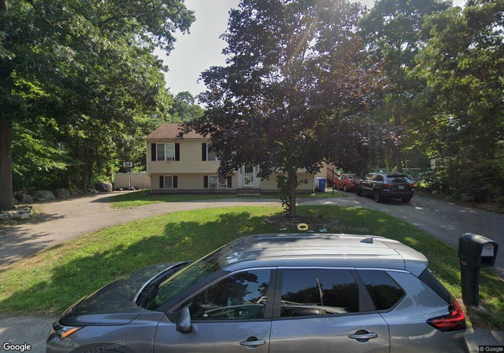
39 Porter St Whitman, MA 02382
Estimated Value: $788,634 - $903,000
4
Beds
3
Baths
2,925
Sq Ft
$285/Sq Ft
Est. Value
About This Home
This home is located at 39 Porter St, Whitman, MA 02382 and is currently estimated at $833,659, approximately $285 per square foot. 39 Porter St is a home located in Plymouth County with nearby schools including Trinity Catholic Academy, Brockton Area Seventh-Day Adventist Academy, and Cardinal Spellman High School.
Ownership History
Date
Name
Owned For
Owner Type
Purchase Details
Closed on
Dec 30, 2020
Sold by
Dunbar Stephen C and Dunbar Kathleen A
Bought by
Booker Ellen and Sanders Anthony G
Current Estimated Value
Home Financials for this Owner
Home Financials are based on the most recent Mortgage that was taken out on this home.
Original Mortgage
$546,250
Outstanding Balance
$487,444
Interest Rate
2.7%
Mortgage Type
Purchase Money Mortgage
Estimated Equity
$346,215
Purchase Details
Closed on
Jan 13, 2017
Sold by
Vanlaarhoven Linda and Vanlaarhoven Edward
Bought by
Dunbar Stephen C and Dunbar Kathleen A
Purchase Details
Closed on
Jul 29, 1996
Sold by
Egan Stephenb G and Egan Colleen R
Bought by
Dunbar Stephen C and Dunbar Kathleen A
Create a Home Valuation Report for This Property
The Home Valuation Report is an in-depth analysis detailing your home's value as well as a comparison with similar homes in the area
Home Values in the Area
Average Home Value in this Area
Purchase History
| Date | Buyer | Sale Price | Title Company |
|---|---|---|---|
| Booker Ellen | $575,000 | None Available | |
| Dunbar Stephen C | -- | -- | |
| Dunbar Stephen C | $165,000 | -- |
Source: Public Records
Mortgage History
| Date | Status | Borrower | Loan Amount |
|---|---|---|---|
| Open | Booker Ellen | $546,250 | |
| Previous Owner | Dunbar Stephen C | $406,705 | |
| Previous Owner | Dunbar Stephen C | $47,248 | |
| Previous Owner | Dunbar Stephen C | $351,000 |
Source: Public Records
Tax History Compared to Growth
Tax History
| Year | Tax Paid | Tax Assessment Tax Assessment Total Assessment is a certain percentage of the fair market value that is determined by local assessors to be the total taxable value of land and additions on the property. | Land | Improvement |
|---|---|---|---|---|
| 2025 | $9,647 | $735,300 | $217,400 | $517,900 |
| 2024 | $8,155 | $640,100 | $213,200 | $426,900 |
| 2023 | $8,105 | $597,300 | $184,800 | $412,500 |
| 2022 | $6,523 | $448,000 | $168,000 | $280,000 |
| 2021 | $6,825 | $440,300 | $154,400 | $285,900 |
| 2020 | $6,614 | $417,300 | $147,000 | $270,300 |
| 2019 | $6,338 | $412,100 | $147,000 | $265,100 |
| 2018 | $5,776 | $381,000 | $138,600 | $242,400 |
| 2017 | $5,745 | $381,000 | $138,600 | $242,400 |
| 2016 | $5,628 | $361,000 | $131,300 | $229,700 |
| 2015 | $5,220 | $334,400 | $115,500 | $218,900 |
Source: Public Records
Map
Nearby Homes
- F3 877 Auburnville
- F7 877 Auburnville
- E 2 Auburnville Way
- E 2 Auburnville Way Unit E2
- 35 Porter St
- 89 Porter St
- 46 Porter St
- 44 Old Mansion Ln
- 34 Old Mansion Ln
- 91 Porter St
- 11 Porter St
- 24 Porter St
- 56 Porter St
- 52 Old Mansion Ln
- 49 Lombard Ave
- 22 Old Mansion Ln
- 29 Lombard Ave
- 60 Old Mansion Ln
- 14 Porter St
- 955 Temple St