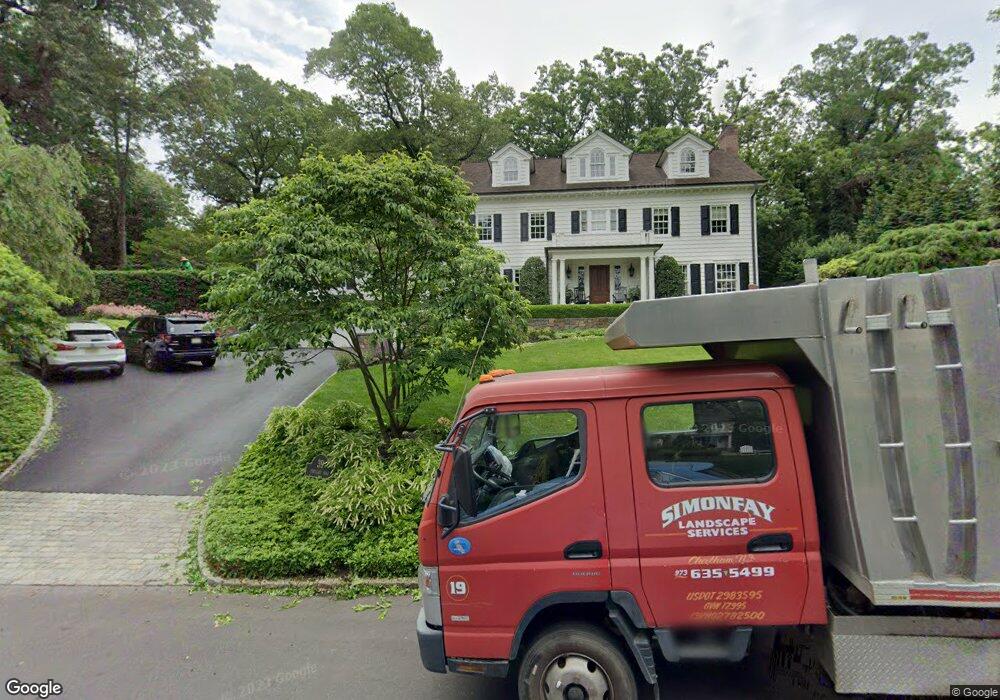
39 Portland Rd Summit, NJ 07901
Estimated Value: $2,931,809 - $4,092,000
--
Bed
--
Bath
5,099
Sq Ft
$653/Sq Ft
Est. Value
About This Home
This home is located at 39 Portland Rd, Summit, NJ 07901 and is currently estimated at $3,331,603, approximately $653 per square foot. 39 Portland Rd is a home located in Union County with nearby schools including L C Johnson Summit Middle School, Summit Sr High School, and Oak Knoll School of the Holy Child.
Ownership History
Date
Name
Owned For
Owner Type
Purchase Details
Closed on
Jul 2, 2010
Sold by
Hardman Donald and Hardman Cassandra
Bought by
Hardman Cassandra
Current Estimated Value
Purchase Details
Closed on
Aug 27, 2009
Sold by
Scavone Robert and Farrell Sheila
Bought by
Hardman Cassandra
Home Financials for this Owner
Home Financials are based on the most recent Mortgage that was taken out on this home.
Original Mortgage
$729,500
Interest Rate
4.98%
Mortgage Type
New Conventional
Purchase Details
Closed on
Jun 13, 2002
Sold by
Brush David M and Brush Karen L
Bought by
Scavone Robert S and Scavone Sheila F
Home Financials for this Owner
Home Financials are based on the most recent Mortgage that was taken out on this home.
Original Mortgage
$1,282,640
Interest Rate
5.75%
Create a Home Valuation Report for This Property
The Home Valuation Report is an in-depth analysis detailing your home's value as well as a comparison with similar homes in the area
Home Values in the Area
Average Home Value in this Area
Purchase History
| Date | Buyer | Sale Price | Title Company |
|---|---|---|---|
| Hardman Cassandra | -- | None Available | |
| Hardman Cassandra | $1,800,000 | Old Republic National Title | |
| Scavone Robert S | $1,603,300 | Prestige Title Agency Inc |
Source: Public Records
Mortgage History
| Date | Status | Borrower | Loan Amount |
|---|---|---|---|
| Open | Hardman Cassandra | $500,000 | |
| Previous Owner | Hardman Cassandra | $729,500 | |
| Previous Owner | Scavone Robert S | $1,282,640 |
Source: Public Records
Tax History Compared to Growth
Tax History
| Year | Tax Paid | Tax Assessment Tax Assessment Total Assessment is a certain percentage of the fair market value that is determined by local assessors to be the total taxable value of land and additions on the property. | Land | Improvement |
|---|---|---|---|---|
| 2025 | $52,664 | $1,209,000 | $366,500 | $842,500 |
| 2024 | $52,313 | $1,209,000 | $366,500 | $842,500 |
| 2023 | $52,313 | $1,209,000 | $366,500 | $842,500 |
| 2022 | $51,781 | $1,209,000 | $366,500 | $842,500 |
| 2021 | $52,193 | $1,209,000 | $366,500 | $842,500 |
| 2020 | $52,712 | $1,209,000 | $366,500 | $842,500 |
| 2019 | $52,773 | $1,209,000 | $366,500 | $842,500 |
| 2018 | $52,434 | $1,209,000 | $366,500 | $842,500 |
| 2017 | $52,773 | $1,209,000 | $366,500 | $842,500 |
| 2016 | $51,999 | $1,209,000 | $366,500 | $842,500 |
| 2015 | $50,984 | $1,209,000 | $366,500 | $842,500 |
| 2014 | $49,666 | $782,700 | $366,500 | $416,200 |
Source: Public Records
Map
Nearby Homes
- 17 Valley View Ave
- 72 Central Ave
- 34 Sweetbriar Rd
- 149 Ashland Rd
- 6 Joanna Way
- 709 Springfield Ave Unit 4
- 709 Springfield Ave Unit 3
- 19 Division Ave
- 106 Stoneridge Rd
- 54 Badgley Dr
- 43 Passaic Ave
- 67 Tulip St
- 67 Laurel Dr
- 109 Mountain Ave
- 33 Cromwell Pkwy
- 27 Beekman Rd
- 34 Ashland Rd
- 32 Locust Dr
- 49 Oakland Place
- 140 Countryside Dr
- 43 Portland Rd
- 19 Pembroke Rd
- 31 Portland Rd
- 40 Portland Rd
- 34 Portland Rd
- 15 Pembroke Rd
- 30 Portland Rd
- 57 Colt Rd
- 10 Ramsey Dr
- 7 Ramsey Dr
- 30 Pembroke Rd Unit A06
- 36 Pembroke Rd
- 55 Portland Rd
- 34 Kings Hill Ct
- 30 Kings Hill Ct
- 54 Portland Rd
- 26 Portland Rd
- 14 Ramsey Dr
- 2 Dorchester Rd
- 11 Ramsey Dr