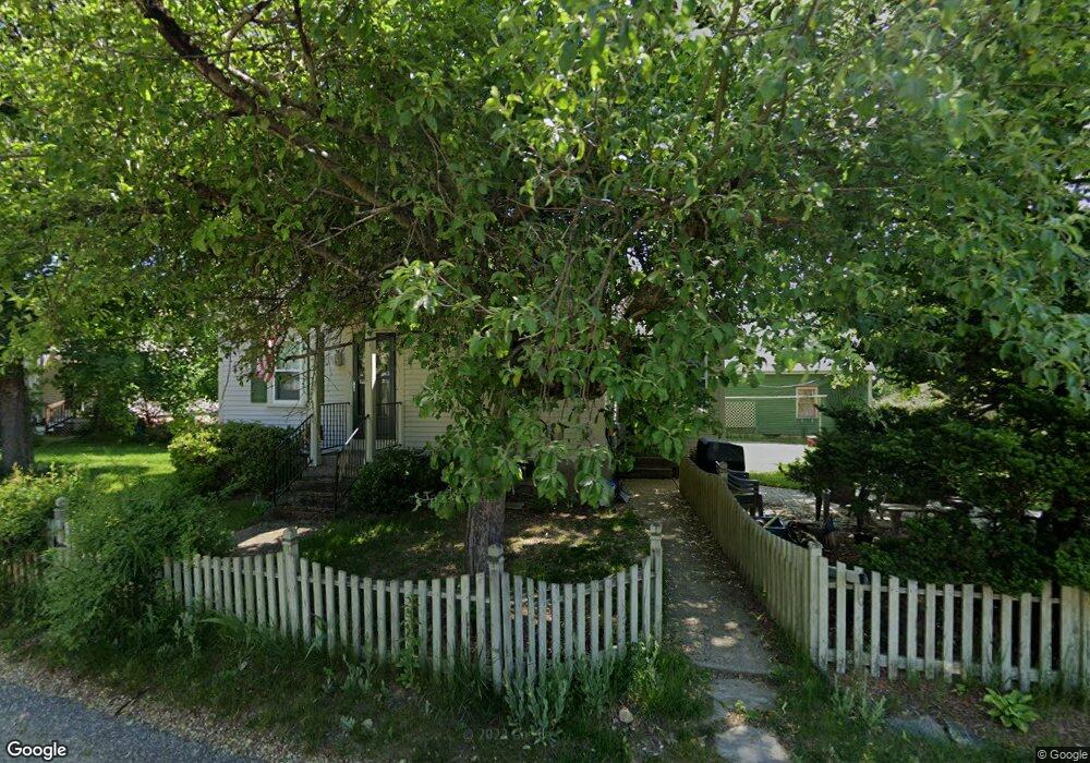
39 Power St Uxbridge, MA 01569
Estimated Value: $419,000 - $510,000
3
Beds
1
Bath
1,505
Sq Ft
$314/Sq Ft
Est. Value
About This Home
This home is located at 39 Power St, Uxbridge, MA 01569 and is currently estimated at $472,104, approximately $313 per square foot. 39 Power St is a home located in Worcester County with nearby schools including Uxbridge High School and Our Lady of the Valley Regional School.
Create a Home Valuation Report for This Property
The Home Valuation Report is an in-depth analysis detailing your home's value as well as a comparison with similar homes in the area
Home Values in the Area
Average Home Value in this Area
Tax History Compared to Growth
Tax History
| Year | Tax Paid | Tax Assessment Tax Assessment Total Assessment is a certain percentage of the fair market value that is determined by local assessors to be the total taxable value of land and additions on the property. | Land | Improvement |
|---|---|---|---|---|
| 2025 | $47 | $361,500 | $130,900 | $230,600 |
| 2024 | $4,435 | $343,300 | $124,200 | $219,100 |
| 2023 | $4,198 | $300,900 | $107,400 | $193,500 |
| 2022 | $3,973 | $262,100 | $94,000 | $168,100 |
| 2021 | $4,002 | $253,000 | $91,900 | $161,100 |
| 2020 | $3,889 | $232,300 | $89,900 | $142,400 |
| 2019 | $3,720 | $214,400 | $80,000 | $134,400 |
| 2018 | $3,427 | $199,600 | $80,000 | $119,600 |
| 2017 | $3,451 | $203,500 | $77,500 | $126,000 |
| 2016 | $3,229 | $183,800 | $67,900 | $115,900 |
| 2015 | $3,158 | $181,500 | $67,900 | $113,600 |
Source: Public Records
Map
Nearby Homes
- 37 Elizabeth St
- 26 Fagan St
- 24 Olde Canal Way Unit 24
- 20 Nature View Dr Unit 20
- 13A Asylum St
- 53 Asylum St
- 25 Dunny Cove Ln
- 328 Millville Rd
- 7 Gentry Ln Unit 7
- 13 Blanchard Ave
- 4 Strathmore Shire Dr Unit B
- 3 Strathmore Shire Unit A
- 300 Crownshield Ave
- 50 Carrington Ln
- 307 N Main St
- 197 Crownshield Ave Unit 16C
- 36 Elm St
- 75 Lake St
- 73 Tea Party Dr Unit L-4
- 71 Rivulet St Unit B