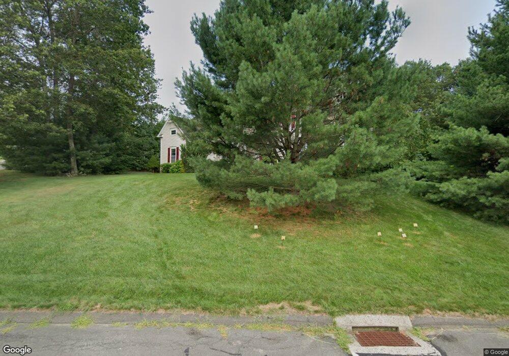
39 Queens Peak Canton, CT 06019
Estimated Value: $855,000 - $916,000
4
Beds
4
Baths
3,539
Sq Ft
$253/Sq Ft
Est. Value
About This Home
This home is located at 39 Queens Peak, Canton, CT 06019 and is currently estimated at $895,091, approximately $252 per square foot. 39 Queens Peak is a home with nearby schools including Cherry Brook Primary School, Canton Intermediate School, and Canton Middle School.
Ownership History
Date
Name
Owned For
Owner Type
Purchase Details
Closed on
Jul 11, 2012
Sold by
Cassavechia Anthony
Bought by
Cassavechia Paul
Current Estimated Value
Purchase Details
Closed on
Dec 13, 2000
Sold by
Carroll William R
Bought by
Bessoni Frank
Create a Home Valuation Report for This Property
The Home Valuation Report is an in-depth analysis detailing your home's value as well as a comparison with similar homes in the area
Home Values in the Area
Average Home Value in this Area
Purchase History
| Date | Buyer | Sale Price | Title Company |
|---|---|---|---|
| Cassavechia Paul | -- | -- | |
| Cassavechia Paul | -- | -- | |
| Bessoni Frank | $170,000 | -- | |
| Bessoni Frank | $170,000 | -- | |
| Bessoni Frank | $42,500 | -- | |
| Bessoni Frank | $85,000 | -- | |
| Bessoni Frank | $86,000 | -- | |
| Bessoni Frank | $42,500 | -- | |
| Bessoni Frank | $85,000 | -- |
Source: Public Records
Tax History
| Year | Tax Paid | Tax Assessment Tax Assessment Total Assessment is a certain percentage of the fair market value that is determined by local assessors to be the total taxable value of land and additions on the property. | Land | Improvement |
|---|---|---|---|---|
| 2025 | $16,170 | $482,680 | $91,270 | $391,410 |
| 2024 | $16,484 | $482,680 | $91,270 | $391,410 |
| 2023 | $12,863 | $363,670 | $98,100 | $265,570 |
| 2022 | $12,252 | $363,670 | $98,100 | $265,570 |
| 2021 | $12,081 | $363,670 | $98,100 | $265,570 |
| 2020 | $11,852 | $363,670 | $98,100 | $265,570 |
| 2019 | $11,648 | $363,670 | $98,100 | $265,570 |
| 2018 | $13,110 | $427,020 | $105,000 | $322,020 |
| 2017 | $13,020 | $427,020 | $105,000 | $322,020 |
| 2016 | $12,708 | $427,020 | $105,000 | $322,020 |
| 2015 | $12,465 | $427,020 | $105,000 | $322,020 |
| 2014 | $12,196 | $427,020 | $105,000 | $322,020 |
Source: Public Records
Map
Nearby Homes
- 110 Windsor Ct
- 28 Meadowview Ct Unit 28
- 48 Weatherstone
- 29 Lovely St
- 58 Weatherstone
- 61 Weatherstone
- 21 Lakeview Blvd
- 3 Clearwater Ct
- 102 Cold Spring Rd
- 30 Cliff Dr
- Lots 1-3 Verville Rd
- 49 Applegate Ln Unit 49
- 26 Forest Ln
- 706 Timber Ln Unit 706
- 138 Northington Dr
- 64 Bridge St
- 70 E Hill Rd
- 51 Westland Rd
- 134 Old Mill Rd
- 187 W Avon Rd
- 9 Ellsworth Ln
- 45 Queens Peak
- 31 Queens Peak
- 36 Queens Peak
- 15 Ellsworth Ln Unit 21
- 10 Ellsworth Ln
- 42 Queens Peak
- 30 Queens Peak
- 51 Queens Peak
- 57 Queens Peak
- 48 Queens Peak
- 23 Queens Peak
- 18 Ellsworth Ln
- 60 Queens Peak
- 24 Queens Peak
- 22 Ellsworth Ln
- 21 Ellsworth Ln
- 234 Kingswood Dr
- 35 Crown Point
- 54 Queens Peak
Your Personal Tour Guide
Ask me questions while you tour the home.