39 Randolph Dr Tewksbury, MA 01876
Estimated Value: $408,911 - $448,000
2
Beds
1
Bath
1,009
Sq Ft
$417/Sq Ft
Est. Value
About This Home
This home is located at 39 Randolph Dr, Tewksbury, MA 01876 and is currently estimated at $420,478, approximately $416 per square foot. 39 Randolph Dr is a home located in Middlesex County.
Ownership History
Date
Name
Owned For
Owner Type
Purchase Details
Closed on
Jul 13, 2021
Sold by
Mccarthy Junemarie
Bought by
Perez Christian D
Current Estimated Value
Home Financials for this Owner
Home Financials are based on the most recent Mortgage that was taken out on this home.
Original Mortgage
$299,250
Outstanding Balance
$271,523
Interest Rate
2.9%
Mortgage Type
Purchase Money Mortgage
Estimated Equity
$148,955
Purchase Details
Closed on
Sep 30, 2015
Sold by
Damelio Robert and Damelio Kelley A
Bought by
Mccarthy Junemarie
Home Financials for this Owner
Home Financials are based on the most recent Mortgage that was taken out on this home.
Original Mortgage
$65,000
Interest Rate
3.95%
Mortgage Type
New Conventional
Purchase Details
Closed on
Oct 22, 1999
Sold by
Bernard Philip J and Bernard Ruth H
Bought by
Damelio Robert and Damelio Kelley A
Create a Home Valuation Report for This Property
The Home Valuation Report is an in-depth analysis detailing your home's value as well as a comparison with similar homes in the area
Home Values in the Area
Average Home Value in this Area
Purchase History
| Date | Buyer | Sale Price | Title Company |
|---|---|---|---|
| Perez Christian D | $315,000 | None Available | |
| Mccarthy Junemarie | $207,000 | -- | |
| Damelio Robert | $122,000 | -- |
Source: Public Records
Mortgage History
| Date | Status | Borrower | Loan Amount |
|---|---|---|---|
| Open | Perez Christian D | $299,250 | |
| Previous Owner | Mccarthy Junemarie | $65,000 | |
| Previous Owner | Damelio Robert | $17,000 | |
| Previous Owner | Damelio Robert | $10,000 |
Source: Public Records
Tax History Compared to Growth
Tax History
| Year | Tax Paid | Tax Assessment Tax Assessment Total Assessment is a certain percentage of the fair market value that is determined by local assessors to be the total taxable value of land and additions on the property. | Land | Improvement |
|---|---|---|---|---|
| 2025 | $4,659 | $352,400 | $0 | $352,400 |
| 2024 | $4,095 | $305,800 | $0 | $305,800 |
| 2023 | $4,269 | $302,800 | $0 | $302,800 |
| 2022 | $4,013 | $264,000 | $0 | $264,000 |
| 2021 | $4,065 | $258,600 | $0 | $258,600 |
| 2020 | $4,039 | $252,900 | $0 | $252,900 |
| 2019 | $3,673 | $231,900 | $0 | $231,900 |
| 2018 | $3,307 | $205,000 | $0 | $205,000 |
| 2017 | $2,978 | $182,600 | $0 | $182,600 |
| 2016 | $2,817 | $172,300 | $0 | $172,300 |
| 2015 | $2,647 | $161,700 | $0 | $161,700 |
| 2014 | $2,473 | $153,500 | $0 | $153,500 |
Source: Public Records
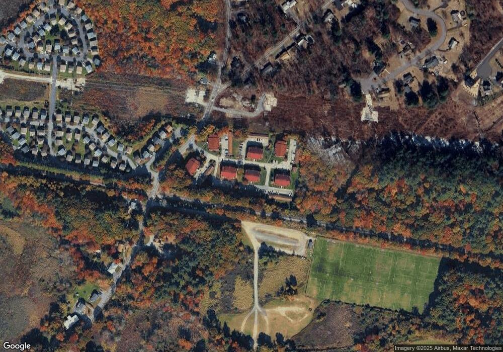
Map
Nearby Homes
- 97 Kendall Rd
- 399 North St
- 910 Livingston St
- 900 Livingston St
- 1170 Livingston St
- 1117 Emerald Ct
- 1224 Emerald Ct
- 13 Berkeley
- 20 Sophie Ruth Way
- 1 Tremblay Ave
- 18 Newton Ave
- 11 Orchard St
- 12 Hillcrest Rd
- 1325 Main
- 43 Patrick Rd
- 61 Patrick Rd
- 101 Squire Ln
- 1418 Main St Unit 201
- 1455 Main St Unit 8
- 172 Patrick Rd
- 48 Randolph Dr
- 47 Randolph Dr
- 46 Randolph Dr
- 45 Randolph Dr
- 44 Randolph Dr
- 43 Randolph Dr
- 42 Randolph Dr
- 41 Randolph Dr
- 40 Randolph Dr
- 38 Randolph Dr
- 37 Randolph Dr
- 44 Randolph Dr Unit 44
- 39 Randolph Dr Unit 39 3
- 40 Randolph Dr Unit 40 3
- 39 Randolph Dr Unit 39
- 56 Randolph Dr
- 56 Randolph Dr Unit 56
- 54 Randolph Dr
- 60 Randolph Dr
- 59 Randolph Dr