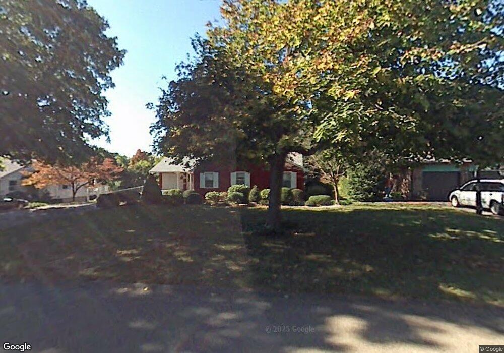
39 Randy Ln Wethersfield, CT 06109
Estimated Value: $447,000 - $554,000
About This Home
This home is located at 39 Randy Ln, Wethersfield, CT 06109 and is currently estimated at $510,885, approximately $271 per square foot. 39 Randy Ln is a home located in Hartford County with nearby schools including Highcrest School, Silas Deane Middle School, and Wethersfield High School.
Ownership History
We collect this data history from publicly available records. To have your information removed, we recommend requesting removal directly through your county’s website.
Purchase Details
Home Values in the Area
Average Home Value in this Area
Purchase History
We collect this data history from publicly available records. To have your information removed, we recommend requesting removal directly through your county’s website.
| Date | Buyer | Sale Price | Title Company |
|---|---|---|---|
| -- | -- | ||
| -- | -- |
Mortgage History
We collect this data history from publicly available records. To have your information removed, we recommend requesting removal directly through your county’s website.
| Date | Status | Borrower | Loan Amount |
|---|---|---|---|
| Previous Owner | $25,000 |
Tax History
We collect this data history from publicly available records. To have your information removed, we recommend requesting removal directly through your county’s website.
| Year | Tax Paid | Tax Assessment Tax Assessment Total Assessment is a certain percentage of the fair market value that is determined by local assessors to be the total taxable value of land and additions on the property. | Land | Improvement |
|---|---|---|---|---|
| 2025 | $12,441 | $301,830 | $105,560 | $196,270 |
| 2024 | $9,116 | $210,920 | $98,870 | $112,050 |
| 2023 | $8,812 | $210,920 | $98,870 | $112,050 |
| 2022 | $8,665 | $210,920 | $98,870 | $112,050 |
| 2021 | $8,578 | $210,920 | $98,870 | $112,050 |
| 2020 | $8,582 | $210,920 | $98,870 | $112,050 |
| 2019 | $8,593 | $210,920 | $98,870 | $112,050 |
| 2018 | $7,703 | $188,900 | $77,000 | $111,900 |
| 2017 | $7,513 | $188,900 | $77,000 | $111,900 |
| 2016 | $7,280 | $188,900 | $77,000 | $111,900 |
| 2015 | $7,214 | $188,900 | $77,000 | $111,900 |
| 2014 | $6,940 | $188,900 | $77,000 | $111,900 |
Map
- 46 Kimball Rd
- 748 Maple St
- 9 Pond Side Dr
- 62 Highland St
- 39 Mountain Laurel Dr
- 970 Cloverdale Cir
- 149 Mill St
- 268 Fox Hill Rd
- 46 Stonegate Dr
- 36 Cross Hill Rd
- 7 Lantern Ln
- 1004 Maple St
- 111 Pheasant Dr
- 742 Wolcott Hill Rd
- 19-21 Mill St
- 22 Winesap Cir Unit 22
- 50 Old Main St
- 72 Old Post Rd
- 181 Brimfield Rd
- 76 Collier Rd
Ask me questions while you tour the home.