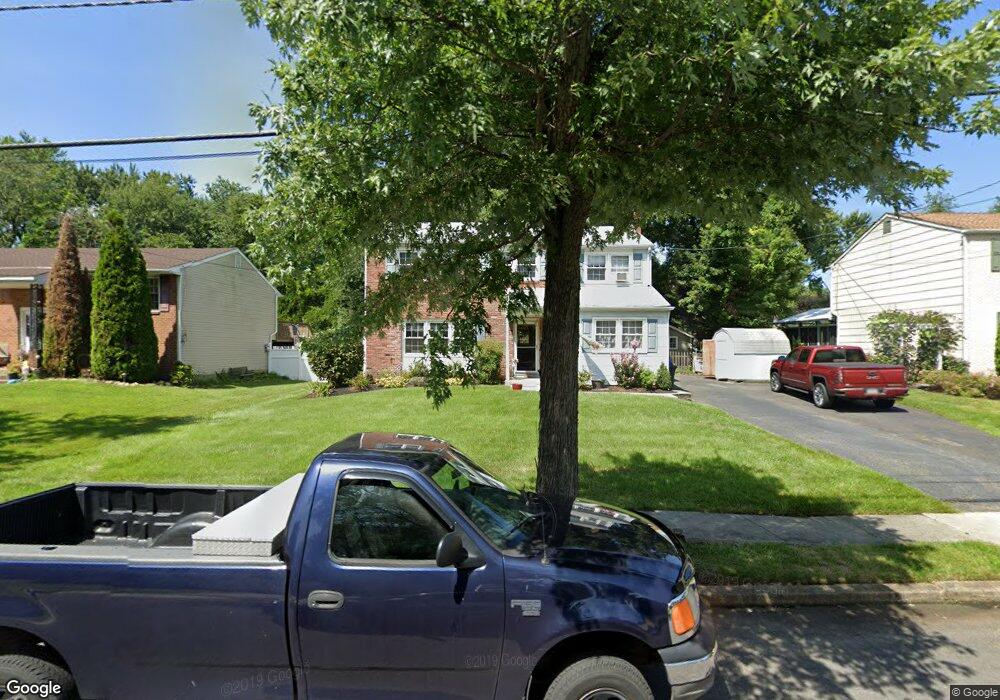
39 Red Leaf Rd Moorestown, NJ 08057
Estimated Value: $446,587 - $542,000
4
Beds
2
Baths
1,905
Sq Ft
$267/Sq Ft
Est. Value
About This Home
This home is located at 39 Red Leaf Rd, Moorestown, NJ 08057 and is currently estimated at $509,397, approximately $267 per square foot. 39 Red Leaf Rd is a home located in Burlington County with nearby schools including Mary E. Roberts Elementary School, Moorestown Upper Elementary School, and William Allen Middle School.
Ownership History
Date
Name
Owned For
Owner Type
Purchase Details
Closed on
Aug 15, 2014
Sold by
Zacher James and Nanni Zacher Deborah L
Bought by
Nanni Deborah L
Current Estimated Value
Home Financials for this Owner
Home Financials are based on the most recent Mortgage that was taken out on this home.
Original Mortgage
$107,200
Interest Rate
4.14%
Mortgage Type
New Conventional
Create a Home Valuation Report for This Property
The Home Valuation Report is an in-depth analysis detailing your home's value as well as a comparison with similar homes in the area
Home Values in the Area
Average Home Value in this Area
Purchase History
| Date | Buyer | Sale Price | Title Company |
|---|---|---|---|
| Nanni Deborah L | -- | Surety Title Company Llc |
Source: Public Records
Mortgage History
| Date | Status | Borrower | Loan Amount |
|---|---|---|---|
| Closed | Nanni Deborah L | $107,200 |
Source: Public Records
Tax History
| Year | Tax Paid | Tax Assessment Tax Assessment Total Assessment is a certain percentage of the fair market value that is determined by local assessors to be the total taxable value of land and additions on the property. | Land | Improvement |
|---|---|---|---|---|
| 2025 | $6,438 | $225,200 | $65,900 | $159,300 |
| 2024 | $6,245 | $225,200 | $65,900 | $159,300 |
| 2023 | $6,245 | $225,200 | $65,900 | $159,300 |
| 2022 | $5,747 | $208,300 | $65,900 | $142,400 |
| 2021 | $5,674 | $208,300 | $65,900 | $142,400 |
| 2020 | $5,637 | $208,300 | $65,900 | $142,400 |
| 2019 | $5,535 | $208,300 | $65,900 | $142,400 |
| 2018 | $5,192 | $201,300 | $65,900 | $135,400 |
| 2017 | $5,226 | $201,300 | $65,900 | $135,400 |
| 2016 | $5,202 | $201,300 | $65,900 | $135,400 |
| 2015 | $5,133 | $201,300 | $65,900 | $135,400 |
| 2014 | $4,882 | $201,300 | $65,900 | $135,400 |
Source: Public Records
Map
Nearby Homes
- 206 Crider Ave Unit 206
- 11 Errickson Ave
- 620 N Lincoln Ave
- 506 N Garfield Ave
- 149 Chalkboard Ct
- 141 Chalkboard Ct Unit 141
- 21 N Lenola Rd
- 5 Vincent Way
- 27 Domenica Dr
- 206 E Camden Ave
- 26 Morris Ave
- 728 Haverford Ave
- 411 A3 Stiles Ave Unit A-3
- 411 C12 Stiles Ave Unit C-12
- 411 A2 Stiles Ave Unit A-2
- 15 S Pine Ave
- 236 Carriage Hill Dr
- 44 S Pine Ave
- 316 Farmdale Rd
- 211 Valley Forge Rd
Your Personal Tour Guide
Ask me questions while you tour the home.