39 Reese Crawford Rd Bremen, GA 30110
Estimated Value: $10,862 - $622,000
--
Bed
2
Baths
--
Sq Ft
2.32
Acres
About This Home
This home is located at 39 Reese Crawford Rd, Bremen, GA 30110 and is currently estimated at $256,466. 39 Reese Crawford Rd is a home located in Haralson County with nearby schools including Haralson County High School.
Ownership History
Date
Name
Owned For
Owner Type
Purchase Details
Closed on
May 6, 2021
Sold by
Mcelroy Dennis
Bought by
Mcelroy Dennis and Mcelroy Judy
Current Estimated Value
Purchase Details
Closed on
May 5, 2021
Sold by
Mcbride John W
Bought by
Mcelroy Dennis
Purchase Details
Closed on
Sep 2, 2014
Sold by
Harrison Richard E
Bought by
Mcbride John W and Mcbride Alexandra Emets
Purchase Details
Closed on
Aug 1, 2001
Sold by
Harrison Richard E
Bought by
Harrison Richard E and Harrison Linda
Purchase Details
Closed on
Mar 17, 1999
Sold by
Crawford Reese
Bought by
Sims Jeremy
Create a Home Valuation Report for This Property
The Home Valuation Report is an in-depth analysis detailing your home's value as well as a comparison with similar homes in the area
Home Values in the Area
Average Home Value in this Area
Purchase History
| Date | Buyer | Sale Price | Title Company |
|---|---|---|---|
| Mcelroy Dennis | -- | -- | |
| Mcelroy Dennis | $8,000 | -- | |
| Mcbride John W | -- | -- | |
| Harrison Richard E | -- | -- | |
| Harrison Richard E | $72,400 | -- | |
| Sims Jeremy | $60,000 | -- |
Source: Public Records
Tax History Compared to Growth
Tax History
| Year | Tax Paid | Tax Assessment Tax Assessment Total Assessment is a certain percentage of the fair market value that is determined by local assessors to be the total taxable value of land and additions on the property. | Land | Improvement |
|---|---|---|---|---|
| 2024 | $68 | $2,638 | $2,638 | $0 |
| 2023 | $119 | $4,583 | $4,583 | $0 |
| 2022 | $86 | $4,583 | $4,583 | $0 |
| 2021 | $122 | $4,355 | $4,355 | $0 |
| 2020 | $122 | $4,355 | $4,355 | $0 |
| 2019 | $127 | $4,355 | $4,355 | $0 |
| 2018 | $129 | $4,355 | $4,355 | $0 |
| 2017 | $134 | $4,355 | $4,355 | $0 |
| 2016 | $126 | $4,119 | $4,119 | $0 |
| 2015 | $126 | $4,118 | $4,119 | $0 |
| 2014 | $682 | $22,612 | $4,119 | $18,493 |
Source: Public Records
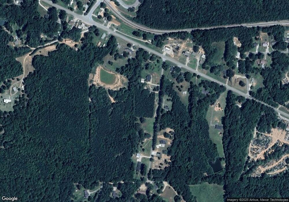
Map
Nearby Homes
- 381 King St
- 586 Old Bushmill Rd
- 67 Depot St
- 145 Wall St
- 163 Atlantic Ave
- 0 Nitra Rd Unit 9546245
- 2659 Jacksonville Rd
- 101 Bush Creek Way
- 707 Mill Stone Way
- 735 Tallapoosa St W
- 273 Sewell Rd
- 610 Old Pleasant Hill Rd
- 0 Stonebridge Blvd Unit 143588
- 0 Mt Zion St Unit 7399245
- 3765 U S 78
- 6315 Highway 78
- 522 Atlantic Ave
- 330 Kensington Cir
- 311 Kensington Cir
- 319 Stonebridge Blvd
- 37 Reese Crawford Rd
- 5137 Us Highway 78
- 5169 U S 78
- 5137 U S 78
- 5137 U S Highway 78
- 0 Tract 2 Reese Crawford Rd
- 5183 Us Highway 78
- 5183 U S Highway 78
- 5183 Us Highway 78
- 20 Reese Crawford Rd
- 5169 Us Highway 78
- 0 Reese Crawford Rd Unit 8647592
- 0 Reese Crawford Rd Unit 7307555
- 0 Reese Crawford Rd Unit 7218093
- 0 Reese Crawford Rd
- 5115 Us Highway 78
- 5115 U S Highway 78
- 5176 U S Highway 78
- 5215 U S 78
- 96 Reese Crawford Rd