39 Ritchie Rd Wilton, NH 03086
Estimated Value: $528,000 - $749,000
About This Home
This home is located at 39 Ritchie Rd, Wilton, NH 03086 and is currently estimated at $624,535, approximately $317 per square foot. 39 Ritchie Rd is a home located in Hillsborough County with nearby schools including Florence Rideout Elementary School, Wilton-Lyndeborough Cooperative Middle School, and Wilton-Lyndeborough Cooperative High School.
Ownership History
We collect this data history from publicly available records. To have your information removed, we recommend requesting removal directly through your county’s website.
Purchase Details
Home Financials for this Owner
Home Financials are based on the most recent Mortgage that was taken out on this home.Purchase Details
Home Financials for this Owner
Home Financials are based on the most recent Mortgage that was taken out on this home.Purchase Details
Home Values in the Area
Average Home Value in this Area
Purchase History
We collect this data history from publicly available records. To have your information removed, we recommend requesting removal directly through your county’s website.
| Date | Buyer | Sale Price | Title Company |
|---|---|---|---|
| $388,000 | -- | ||
| $284,000 | -- | ||
| $175,000 | -- |
Mortgage History
We collect this data history from publicly available records. To have your information removed, we recommend requesting removal directly through your county’s website.
| Date | Status | Borrower | Loan Amount |
|---|---|---|---|
| Open | $248,000 | ||
| Closed | $300,000 | ||
| Closed | $368,600 | ||
| Previous Owner | $227,200 |
Tax History
We collect this data history from publicly available records. To have your information removed, we recommend requesting removal directly through your county’s website.
| Year | Tax Paid | Tax Assessment Tax Assessment Total Assessment is a certain percentage of the fair market value that is determined by local assessors to be the total taxable value of land and additions on the property. | Land | Improvement |
|---|---|---|---|---|
| 2025 | $10,425 | $386,400 | $146,000 | $240,400 |
| 2024 | $9,610 | $386,400 | $146,000 | $240,400 |
| 2023 | $8,578 | $386,400 | $146,000 | $240,400 |
| 2022 | $7,983 | $386,400 | $146,000 | $240,400 |
| 2021 | $7,427 | $386,400 | $146,000 | $240,400 |
| 2020 | $8,564 | $291,400 | $118,100 | $173,300 |
| 2019 | $8,462 | $291,400 | $118,100 | $173,300 |
| 2018 | $8,381 | $291,400 | $118,100 | $173,300 |
| 2017 | $7,917 | $291,400 | $118,100 | $173,300 |
| 2016 | $7,675 | $291,400 | $118,100 | $173,300 |
| 2015 | $7,573 | $287,500 | $123,800 | $163,700 |
| 2014 | $7,418 | $287,500 | $123,800 | $163,700 |
| 2013 | $7,481 | $287,500 | $123,800 | $163,700 |
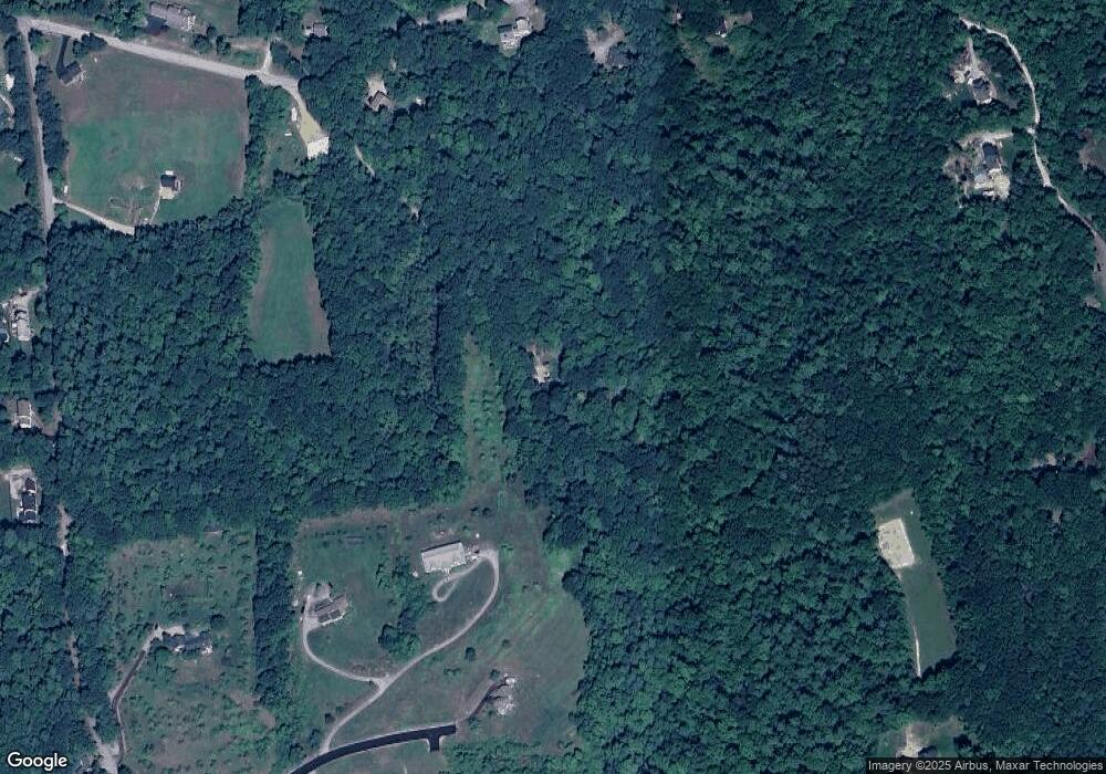
Map
- 783 Mason Rd
- 37 McGettigan Rd
- 16 Hillsboro Cir
- F-88-11 Aria Hill Dr
- F-88-12 Aria Hill Dr
- F-88-7 Aria Hill Dr
- 18 Richfield Way
- 181 Boynton Hill Rd
- 147 Mile Slip Rd
- 92 Potter Rd
- 0 Captain Clark Hwy
- 57 Intervale Rd
- 1 Ledgewood Rd
- 4 Ledgewood Rd
- 3 Ledgewood Rd
- 2 Ledgewood Rd
- 19 Intervale Rd
- 503 Eastview Dr
- 11 Kasey Dr
- 82 Wilton Rd Unit A
- 20 Mackintosh Dr
- 34 Mackintosh Dr
- 150 Isaac Frye Hwy
- 122 Isaac Frye Hwy
- 132 Isaac Frye Hwy
- 110 Isaac Frye Hwy
- 19 Mackintosh Dr
- 157 Isaac Frye Hwy
- 74 Badger Farm Rd
- 127 Isaac Frye Hwy
- 125 Isaac Frye Hwy Unit 2
- 125 Isaac Frye Hwy
- 123 Isaac Frye Hwy Unit 3
- 123 Isaac Frye Hwy
- 121 Isaac Frye Hwy
- 39 Celts Way
- 115 Isaac Frye Hwy
- 52 Badger Farm Rd
- 184 Isaac Frye Hwy
- 19 Celts Way
Ask me questions while you tour the home.