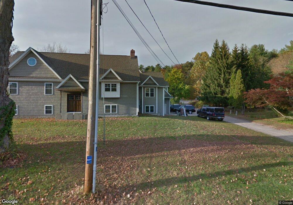
39 Riverside Rd Sandy Hook, CT 06482
Estimated Value: $484,000 - $760,000
About This Home
This home is located at 39 Riverside Rd, Sandy Hook, CT 06482 and is currently estimated at $673,232, approximately $313 per square foot. 39 Riverside Rd is a home located in Fairfield County with nearby schools including Sandy Hook Elementary School, Reed Intermediate School, and Newtown Middle School.
Ownership History
We collect this data history from publicly available records. To have your information removed, we recommend requesting removal directly through your county’s website.
Purchase Details
Purchase Details
Home Financials for this Owner
Home Financials are based on the most recent Mortgage that was taken out on this home.Purchase Details
Home Values in the Area
Average Home Value in this Area
Purchase History
We collect this data history from publicly available records. To have your information removed, we recommend requesting removal directly through your county’s website.
| Date | Buyer | Sale Price | Title Company |
|---|---|---|---|
| -- | -- | ||
| -- | -- | ||
| $220,000 | -- | ||
| $220,000 | -- | ||
| $76,500 | -- | ||
| $76,500 | -- |
Mortgage History
We collect this data history from publicly available records. To have your information removed, we recommend requesting removal directly through your county’s website.
| Date | Status | Borrower | Loan Amount |
|---|---|---|---|
| Previous Owner | $290,000 | ||
| Previous Owner | $288,000 | ||
| Previous Owner | $220,000 |
Tax History
We collect this data history from publicly available records. To have your information removed, we recommend requesting removal directly through your county’s website.
| Year | Tax Paid | Tax Assessment Tax Assessment Total Assessment is a certain percentage of the fair market value that is determined by local assessors to be the total taxable value of land and additions on the property. | Land | Improvement |
|---|---|---|---|---|
| 2025 | $12,652 | $440,230 | $74,070 | $366,160 |
| 2024 | $11,873 | $440,230 | $74,070 | $366,160 |
| 2023 | $11,552 | $440,230 | $74,070 | $366,160 |
| 2022 | $10,798 | $311,460 | $70,110 | $241,350 |
| 2021 | $10,792 | $311,460 | $70,110 | $241,350 |
| 2020 | $10,826 | $311,460 | $70,110 | $241,350 |
| 2019 | $10,829 | $311,460 | $70,110 | $241,350 |
| 2018 | $10,664 | $311,460 | $70,110 | $241,350 |
| 2017 | $11,671 | $344,580 | $64,180 | $280,400 |
| 2016 | $11,578 | $344,580 | $64,180 | $280,400 |
| 2015 | $11,395 | $344,580 | $64,180 | $280,400 |
| 2014 | $11,478 | $344,580 | $64,180 | $280,400 |
Map
- 4 Cherry Heights Terrace
- 29 Narragansett Trail
- 23 Pootatuck Trail
- 24 Beechwood Dr
- 21 Pearl St
- 51 Chipmunk Trail
- 177 Julia Ct Unit 177
- 159 Jennifer Ln
- 176 Julia Ct
- 128 Louis Hill Rd
- 123 Louis Hill Rd
- 65 Elizabeth Cir
- 54 Elizabeth Cir
- 98 Haley Ln
- 7 Pootatuck Park Rd
- 46 Elizabeth Cir Unit 46
- 8 Saint George Place
- 92 Walnut Tree Hill Rd
- 31 Pole Bridge Rd
- 165 Housatonic Trail
- 41 Riverside Rd
- 4 Cherry St
- 6 Cherry St
- 43 Riverside Rd
- 45 Riverside Rd
- 8 Cherry St
- 2 Cherry St
- 3 Goodyear Rd
- 47 Riverside Rd
- 10 Cherry St
- 46 Riverside Rd
- 5 Cherry St
- 3 Cherry St
- 1 Cherry Heights Terrace
- 8 Black Cherry Ln
- 10 Black Cherry Ln
- 44 Riverside Rd
- 52 Riverside Rd Unit West
- 9 Cherry St
- 12 Black Cherry Ln
Ask me questions while you tour the home.