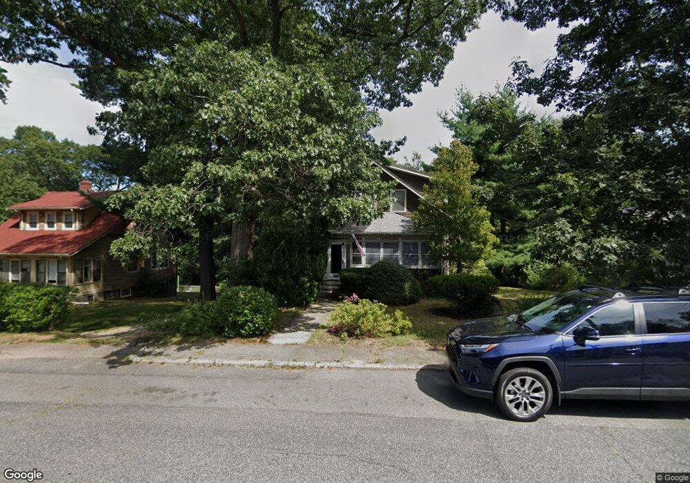
39 Roosevelt Rd Weymouth, MA 02188
Weymouth Landing NeighborhoodEstimated Value: $457,000 - $592,684
3
Beds
2
Baths
1,352
Sq Ft
$402/Sq Ft
Est. Value
About This Home
This home is located at 39 Roosevelt Rd, Weymouth, MA 02188 and is currently estimated at $543,921, approximately $402 per square foot. 39 Roosevelt Rd is a home located in Norfolk County with nearby schools including Abigail Adams Middle School, Frederick C Murphy, and Weymouth Middle School Chapman.
Ownership History
Date
Name
Owned For
Owner Type
Purchase Details
Closed on
Mar 22, 2024
Sold by
Rund Russell N Est and Martin
Bought by
Rund Karen M
Current Estimated Value
Home Financials for this Owner
Home Financials are based on the most recent Mortgage that was taken out on this home.
Original Mortgage
$204,100
Outstanding Balance
$200,712
Interest Rate
6.64%
Mortgage Type
Purchase Money Mortgage
Estimated Equity
$343,209
Create a Home Valuation Report for This Property
The Home Valuation Report is an in-depth analysis detailing your home's value as well as a comparison with similar homes in the area
Home Values in the Area
Average Home Value in this Area
Purchase History
| Date | Buyer | Sale Price | Title Company |
|---|---|---|---|
| Rund Karen M | $404,100 | None Available |
Source: Public Records
Mortgage History
| Date | Status | Borrower | Loan Amount |
|---|---|---|---|
| Open | Rund Karen M | $204,100 |
Source: Public Records
Tax History Compared to Growth
Tax History
| Year | Tax Paid | Tax Assessment Tax Assessment Total Assessment is a certain percentage of the fair market value that is determined by local assessors to be the total taxable value of land and additions on the property. | Land | Improvement |
|---|---|---|---|---|
| 2025 | $4,959 | $491,000 | $238,100 | $252,900 |
| 2024 | $4,806 | $468,000 | $226,800 | $241,200 |
| 2023 | $4,533 | $433,800 | $210,000 | $223,800 |
| 2022 | $4,727 | $412,500 | $194,500 | $218,000 |
| 2021 | $4,374 | $372,600 | $194,500 | $178,100 |
| 2020 | $4,110 | $344,800 | $194,500 | $150,300 |
| 2019 | $4,014 | $331,200 | $187,000 | $144,200 |
| 2018 | $3,903 | $312,200 | $178,100 | $134,100 |
| 2017 | $3,665 | $286,100 | $169,600 | $116,500 |
| 2016 | $3,524 | $275,300 | $163,100 | $112,200 |
| 2015 | $3,333 | $258,400 | $155,700 | $102,700 |
| 2014 | $3,201 | $240,700 | $144,900 | $95,800 |
Source: Public Records
Map
Nearby Homes
- 28 Webb St
- 9 Vine St Unit 1
- 19 Vine St Unit 4
- 114 Broad St Unit D
- 114 Broad St Unit C
- 25 Richmond St
- 286 Broad St
- 93 Wilson Ave
- 11 Richmond St
- 17 Worster Terrace
- 23-25 Lindbergh Ave
- 294 Commercial St
- 122 Washington St Unit 22
- 16 Lindbergh Ave
- 19 Common St
- 271 Roosevelt Rd
- 38 Idlewell St
- 33 Congress St
- 36 Brookside Rd
- 15 Summer St
- 33 Roosevelt Rd
- 45 Roosevelt Rd
- 63 Roosevelt Rd
- 29 Roosevelt Rd
- 46 Roosevelt Rd
- 38 Roosevelt Rd
- 34 Roosevelt Rd
- 23 Roosevelt Rd
- 30 Roosevelt Rd
- 50 Roosevelt Rd
- 70 Glendale St
- 47 Pierce Rd
- 26 Roosevelt Rd
- 21 Roosevelt Rd
- 54 Roosevelt Rd
- 69 Glendale St
- 66 Glendale St
- 345 Dorothea Dr
- 37 Pierce Rd
- 15 Roosevelt Rd