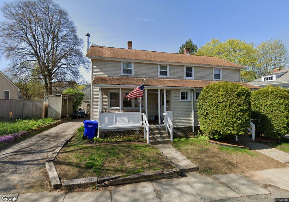
39 Roosevelt St Unit 41 Maynard, MA 01754
Estimated Value: $524,000 - $693,000
6
Beds
2
Baths
2,154
Sq Ft
$275/Sq Ft
Est. Value
About This Home
This home is located at 39 Roosevelt St Unit 41, Maynard, MA 01754 and is currently estimated at $591,900, approximately $274 per square foot. 39 Roosevelt St Unit 41 is a home located in Middlesex County with nearby schools including Green Meadow School, Fowler School, and Maynard High School.
Ownership History
Date
Name
Owned For
Owner Type
Purchase Details
Closed on
Nov 6, 1998
Sold by
Shorette Lawrence M
Bought by
Shorette Lawrence M and Shorette Marlene
Current Estimated Value
Home Financials for this Owner
Home Financials are based on the most recent Mortgage that was taken out on this home.
Original Mortgage
$150,000
Interest Rate
6.64%
Mortgage Type
Purchase Money Mortgage
Purchase Details
Closed on
Jul 27, 1989
Sold by
Maskousky Dennis A
Bought by
Shorette Lawrence M
Home Financials for this Owner
Home Financials are based on the most recent Mortgage that was taken out on this home.
Original Mortgage
$89,000
Interest Rate
9.9%
Mortgage Type
Purchase Money Mortgage
Create a Home Valuation Report for This Property
The Home Valuation Report is an in-depth analysis detailing your home's value as well as a comparison with similar homes in the area
Home Values in the Area
Average Home Value in this Area
Purchase History
| Date | Buyer | Sale Price | Title Company |
|---|---|---|---|
| Shorette Lawrence M | $167,000 | -- | |
| Shorette Lawrence M | $85,000 | -- |
Source: Public Records
Mortgage History
| Date | Status | Borrower | Loan Amount |
|---|---|---|---|
| Open | Shorette Lawrence M | $180,000 | |
| Closed | Shorette Lawrence M | $183,300 | |
| Closed | Shorette Lawrence M | $150,000 | |
| Previous Owner | Shorette Lawrence M | $89,000 |
Source: Public Records
Tax History Compared to Growth
Tax History
| Year | Tax Paid | Tax Assessment Tax Assessment Total Assessment is a certain percentage of the fair market value that is determined by local assessors to be the total taxable value of land and additions on the property. | Land | Improvement |
|---|---|---|---|---|
| 2025 | $8,726 | $489,400 | $271,900 | $217,500 |
| 2024 | $8,520 | $476,500 | $259,000 | $217,500 |
| 2023 | $8,550 | $450,700 | $246,700 | $204,000 |
| 2022 | $8,092 | $411,200 | $207,200 | $204,000 |
| 2021 | $8,092 | $401,600 | $207,200 | $194,400 |
| 2020 | $7,882 | $381,900 | $187,500 | $194,400 |
| 2019 | $7,250 | $344,600 | $179,100 | $165,500 |
| 2018 | $6,778 | $299,400 | $162,800 | $136,600 |
| 2017 | $6,590 | $299,400 | $162,800 | $136,600 |
| 2016 | $6,362 | $299,400 | $162,800 | $136,600 |
| 2015 | $6,773 | $303,600 | $155,400 | $148,200 |
| 2014 | $6,872 | $308,300 | $150,500 | $157,800 |
Source: Public Records
Map
Nearby Homes
- 5 Hayes St Unit 5
- 15 Arthur St Unit 15
- 13 Arthur St Unit 15
- 28 Waltham St Unit A
- 28 Waltham St Unit B
- 30-32 Walnut St
- 5 Oak Ridge Dr Unit 7
- 2 Wall Ct
- 30 Acton St
- 37 Glendale St
- 66 Powder Mill Rd
- 69 Powder Mill Rd
- 68 Powder Mill Rd
- 17 Prospect St
- 2 & 6 Powder Mill Rd
- 70 Powder Mill Rd
- 7 King St
- 29 Longfellow Rd
- 67 Powder Mill Rd
- 49 Summer Hill Rd
- 43 Roosevelt St
- 43 Roosevelt St Unit 43
- 35 Roosevelt St Unit 37
- 42 Roosevelt St Unit 44
- 44 Roosevelt St Unit 44
- 46 Roosevelt St Unit 48
- 46-48 Roosevelt St
- 36 Mckinley St
- 48 Roosevelt St Unit 48
- 45 Roosevelt St
- 38-40 Mckinley St Unit 40
- 50 Roosevelt St Unit 52
- 52 Roosevelt St
- 31 Roosevelt St Unit 33
- 32 Mckinley St Unit 34
- 38 Roosevelt St Unit 40
- 42A Mckinley St Unit A
- 38 Mckinley St Unit 40
- 54 Roosevelt St Unit 56
- 56 Roosevelt St Unit 56