39 S 117 E Valparaiso, IN 46383
Porter County NeighborhoodEstimated Value: $331,000 - $411,000
3
Beds
2
Baths
2,132
Sq Ft
$174/Sq Ft
Est. Value
About This Home
This home is located at 39 S 117 E, Valparaiso, IN 46383 and is currently estimated at $370,740, approximately $173 per square foot. 39 S 117 E is a home located in Porter County with nearby schools including Morgan Township Elementary School, Morgan Township Middle/High School, and Victory Christian Academy.
Ownership History
Date
Name
Owned For
Owner Type
Purchase Details
Closed on
Sep 1, 2016
Sold by
Forney Rhonda and Forney Mark
Bought by
Forney Scott A
Current Estimated Value
Home Financials for this Owner
Home Financials are based on the most recent Mortgage that was taken out on this home.
Original Mortgage
$119,447
Outstanding Balance
$93,908
Interest Rate
3.45%
Mortgage Type
Seller Take Back
Estimated Equity
$276,832
Purchase Details
Closed on
Jun 27, 2011
Sold by
Genovese Daniel R
Bought by
Forney Mark and Forney Rhonda
Purchase Details
Closed on
Jun 9, 2008
Sold by
Perez Norma
Bought by
Genovese Daniel R
Home Financials for this Owner
Home Financials are based on the most recent Mortgage that was taken out on this home.
Original Mortgage
$128,000
Interest Rate
6.09%
Mortgage Type
Purchase Money Mortgage
Purchase Details
Closed on
May 16, 2005
Sold by
Genovese Daniel R and Genovese Karen Sue
Bought by
Perez Norma
Home Financials for this Owner
Home Financials are based on the most recent Mortgage that was taken out on this home.
Original Mortgage
$122,000
Interest Rate
6.07%
Mortgage Type
Fannie Mae Freddie Mac
Create a Home Valuation Report for This Property
The Home Valuation Report is an in-depth analysis detailing your home's value as well as a comparison with similar homes in the area
Home Values in the Area
Average Home Value in this Area
Purchase History
| Date | Buyer | Sale Price | Title Company |
|---|---|---|---|
| Forney Scott A | -- | -- | |
| Forney Mark | -- | Fidelity Natl Title Ins Co | |
| Genovese Daniel R | -- | Ticor Title Insurance | |
| Perez Norma | -- | Ticor Title Insurance |
Source: Public Records
Mortgage History
| Date | Status | Borrower | Loan Amount |
|---|---|---|---|
| Open | Forney Scott A | $119,447 | |
| Previous Owner | Genovese Daniel R | $128,000 | |
| Previous Owner | Perez Norma | $122,000 |
Source: Public Records
Tax History
| Year | Tax Paid | Tax Assessment Tax Assessment Total Assessment is a certain percentage of the fair market value that is determined by local assessors to be the total taxable value of land and additions on the property. | Land | Improvement |
|---|---|---|---|---|
| 2025 | $1,870 | $289,100 | $75,000 | $214,100 |
| 2024 | $1,870 | $279,800 | $45,200 | $234,600 |
| 2023 | $1,609 | $254,300 | $39,700 | $214,600 |
| 2022 | $1,552 | $231,800 | $39,700 | $192,100 |
| 2021 | $1,633 | $217,400 | $39,700 | $177,700 |
| 2020 | $1,457 | $198,300 | $34,500 | $163,800 |
| 2019 | $1,443 | $191,000 | $34,500 | $156,500 |
| 2018 | $1,361 | $184,100 | $34,500 | $149,600 |
| 2017 | $1,504 | $202,500 | $34,500 | $168,000 |
| 2016 | $1,380 | $193,200 | $35,300 | $157,900 |
| 2014 | $2,362 | $145,900 | $34,100 | $111,800 |
| 2013 | -- | $139,800 | $34,600 | $105,200 |
Source: Public Records
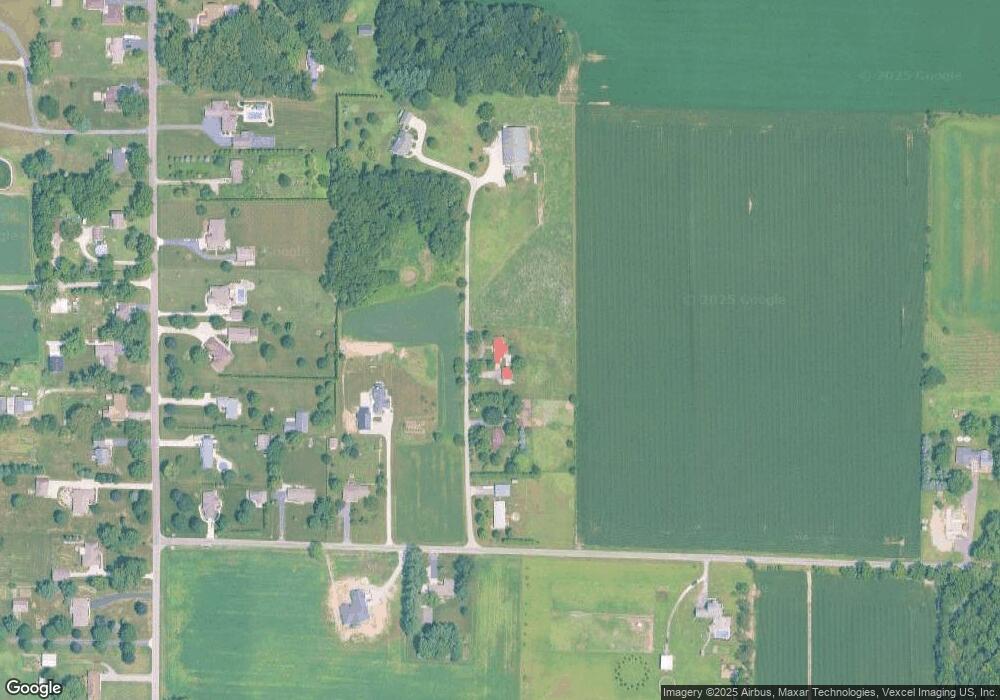
Map
Nearby Homes
- 3252 Mockingbird Ln
- 3253 Mockingbird Ln
- 48 E Division Rd
- 2651 Woodbine Dr
- 0 Smoke Rd
- 1954 Lawndale Dr
- 3152 Heavilin Rd
- 1551 Gilleevan Dr
- 3906 Murvihill Rd
- 1556 Smoke Rd
- 857 S Cedar Ln
- 323 E 124 S
- 1465 Clark Rd
- 28 South St
- 0 Silhavy Rd
- 1399 Rowley St
- 0 Parcel A 325 E
- 0 Parcel B 325 E
- 374 Glenallyn Dr
- 2208 Stori Ln
Your Personal Tour Guide
Ask me questions while you tour the home.