39 S State Road 49 Valparaiso, IN 46383
Porter County NeighborhoodEstimated Value: $329,498 - $463,000
3
Beds
4
Baths
2,082
Sq Ft
$188/Sq Ft
Est. Value
About This Home
This home is located at 39 S State Road 49, Valparaiso, IN 46383 and is currently estimated at $392,125, approximately $188 per square foot. 39 S State Road 49 is a home located in Porter County with nearby schools including Morgan Township Elementary School, Morgan Township Middle/High School, and Victory Christian Academy.
Ownership History
Date
Name
Owned For
Owner Type
Purchase Details
Closed on
Mar 20, 2006
Sold by
Casbon David E
Bought by
Casbon David E and Casbon Julie
Current Estimated Value
Home Financials for this Owner
Home Financials are based on the most recent Mortgage that was taken out on this home.
Original Mortgage
$123,000
Interest Rate
6.38%
Mortgage Type
New Conventional
Create a Home Valuation Report for This Property
The Home Valuation Report is an in-depth analysis detailing your home's value as well as a comparison with similar homes in the area
Home Values in the Area
Average Home Value in this Area
Purchase History
| Date | Buyer | Sale Price | Title Company |
|---|---|---|---|
| Casbon David E | -- | Heavyweight Title Co |
Source: Public Records
Mortgage History
| Date | Status | Borrower | Loan Amount |
|---|---|---|---|
| Closed | Casbon David E | $123,000 |
Source: Public Records
Tax History Compared to Growth
Tax History
| Year | Tax Paid | Tax Assessment Tax Assessment Total Assessment is a certain percentage of the fair market value that is determined by local assessors to be the total taxable value of land and additions on the property. | Land | Improvement |
|---|---|---|---|---|
| 2024 | $1,671 | $251,500 | $50,100 | $201,400 |
| 2023 | $1,624 | $220,200 | $44,000 | $176,200 |
| 2022 | $1,484 | $203,500 | $44,000 | $159,500 |
| 2021 | $1,984 | $216,200 | $44,000 | $172,200 |
| 2020 | $1,842 | $202,600 | $38,300 | $164,300 |
| 2019 | $1,799 | $192,000 | $38,300 | $153,700 |
| 2018 | $1,701 | $185,300 | $38,300 | $147,000 |
| 2017 | $1,689 | $184,200 | $38,300 | $145,900 |
| 2016 | $1,527 | $175,100 | $39,200 | $135,900 |
| 2014 | $1,050 | $136,200 | $37,900 | $98,300 |
| 2013 | -- | $116,900 | $38,300 | $78,600 |
Source: Public Records
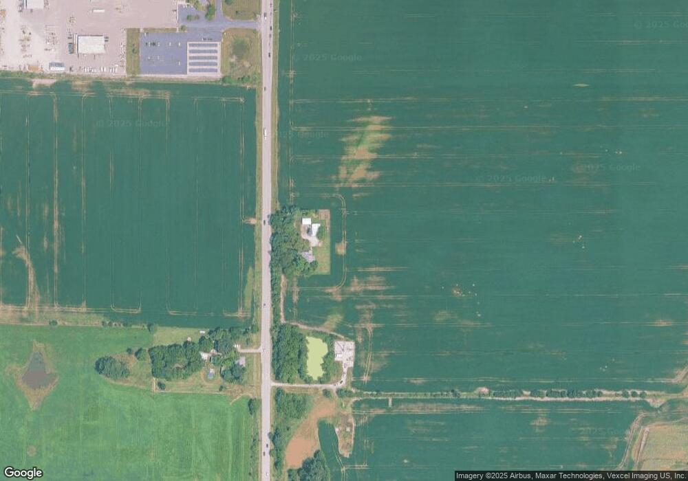
Map
Nearby Homes
- 3353 Field Hawk Dr
- 3251 Mockingbird Ln
- 197 Appaloosa Ln
- 3359 Blue Jay Dr
- 323 E 124 S
- 48 E Division Rd
- 501 Eagle Ct
- 372 Radcliff Dr
- 0 Parcel A 325 E
- 0 Parcel B 325 E
- 168 Jamestown Ave
- 239 Bayberry Ct
- 0 Smoke Rd
- 421 Amy Rose Ln
- 2054 Lawndale Dr
- 232 E 250 S
- 1954 Lawndale Dr
- 0 Porters Vale Blvd Unit GNR544918
- 0 St Road 2 Unit GNR544911
- 0 Silhavy Rd
- 48 S State Road 49
- 48 S State Road 49
- 9 S State Road 49
- 73 S State Road 49
- 76 Matt Ridge
- 180 E Division Rd
- 180 E Division Rd
- 227 Kayland Ct
- 78 Matt Ridge
- 229 Kayland Ct
- 48 Matt Ridge
- 50 Matt Ridge
- 46 Matt Ridge
- 12 Matt Ridge
- 82 Matt Ridge
- 188 E Division Rd
- 81 Matt Ridge
- 233 Kayland Ct
- 51 Matt Ridge
- 49 Matt Ridge