Estimated Value: $456,000 - $665,474
Studio
1
Bath
1,144
Sq Ft
$507/Sq Ft
Est. Value
About This Home
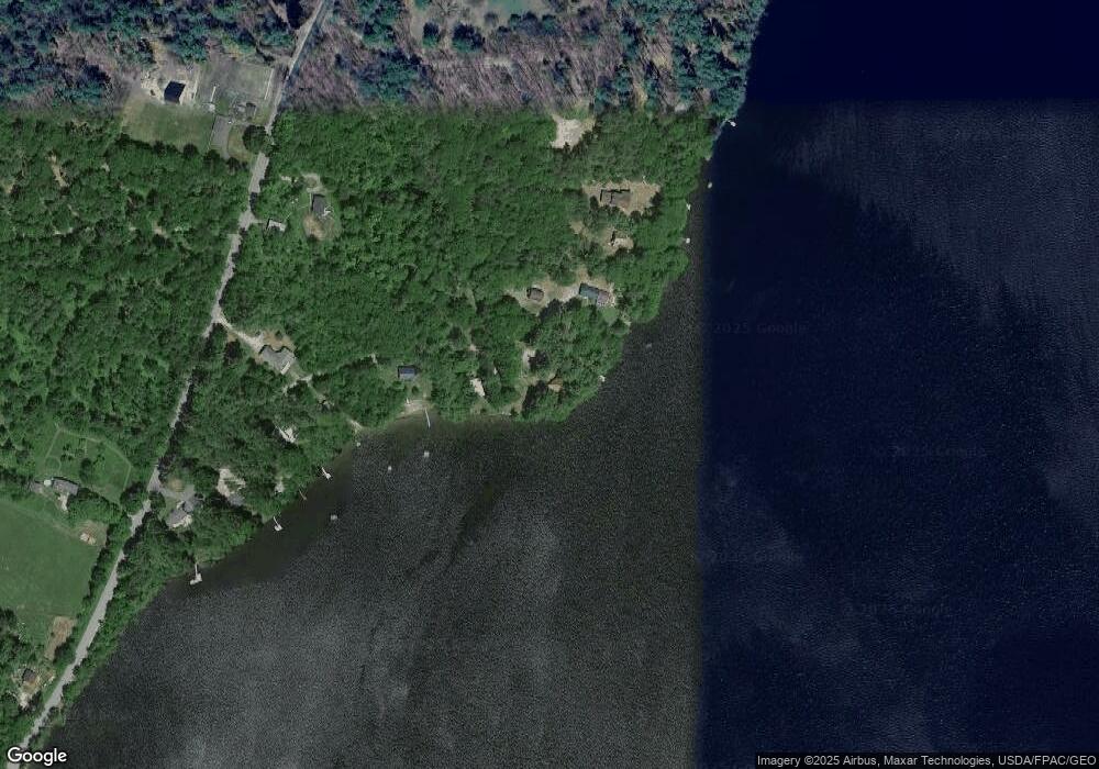
This home is located at 39 Sable Ln, Wayne, ME 04284 and is currently estimated at $579,825, approximately $506 per square foot. 39 Sable Ln is a home.
Create a Home Valuation Report for This Property
The Home Valuation Report is an in-depth analysis detailing your home's value as well as a comparison with similar homes in the area
Home Values in the Area
Average Home Value in this Area
Tax History
| Year | Tax Paid | Tax Assessment Tax Assessment Total Assessment is a certain percentage of the fair market value that is determined by local assessors to be the total taxable value of land and additions on the property. | Land | Improvement |
|---|---|---|---|---|
| 2024 | $7,260 | $613,700 | $361,600 | $252,100 |
| 2023 | $6,796 | $329,900 | $220,100 | $109,800 |
| 2022 | $6,212 | $329,200 | $220,100 | $109,100 |
| 2021 | $5,912 | $329,200 | $220,100 | $109,100 |
| 2020 | $5,925 | $329,900 | $220,100 | $109,800 |
| 2019 | $5,925 | $329,900 | $220,100 | $109,800 |
| 2017 | $5,330 | $329,200 | $220,100 | $109,100 |
| 2016 | $4,882 | $329,200 | $220,100 | $109,100 |
| 2015 | $4,796 | $329,200 | $220,100 | $109,100 |
| 2014 | $4,731 | $329,200 | $220,100 | $109,100 |
| 2013 | $4,615 | $325,000 | $220,100 | $104,900 |
Source: Public Records
Map
Nearby Homes
- 286 Pond Rd
- 506 Main St
- M 6, L 32 Main St
- Lot 39 Main St
- 29 Kents Hill Rd
- 57 Deer Hill Rd
- 156 Lakeshore Dr
- 75 Lovejoy Shores Dr
- 1835 Main St
- 9 Russell St
- 132 Hunton Loop
- 1477 Main St
- 155 Old Kents Hill Rd
- Lot 42C Baldwin Hill Rd
- Lot 48-4 Baldwin Hill Rd
- 974 Sturtevant Hill Rd
- 0 Baldwin Hill Rd Unit 1624053
- 46 Squire Ct
- 60 Route 41
- 31 Squire Ct
Your Personal Tour Guide
Ask me questions while you tour the home.