39 Sagamore Rd Harpswell, ME 04079
Harpswell NeighborhoodEstimated Value: $601,129 - $877,000
3
Beds
2
Baths
2,226
Sq Ft
$332/Sq Ft
Est. Value
About This Home
This home is located at 39 Sagamore Rd, Harpswell, ME 04079 and is currently estimated at $738,032, approximately $331 per square foot. 39 Sagamore Rd is a home with nearby schools including Mt Ararat High School.
Ownership History
Date
Name
Owned For
Owner Type
Purchase Details
Closed on
Jun 22, 2005
Sold by
Clayton Kenneth J and Clayton Christine M
Bought by
Martin Peter F and Martin Irene Y
Current Estimated Value
Home Financials for this Owner
Home Financials are based on the most recent Mortgage that was taken out on this home.
Original Mortgage
$200,000
Outstanding Balance
$103,476
Interest Rate
5.82%
Mortgage Type
Purchase Money Mortgage
Estimated Equity
$634,556
Create a Home Valuation Report for This Property
The Home Valuation Report is an in-depth analysis detailing your home's value as well as a comparison with similar homes in the area
Home Values in the Area
Average Home Value in this Area
Purchase History
| Date | Buyer | Sale Price | Title Company |
|---|---|---|---|
| Martin Peter F | -- | -- |
Source: Public Records
Mortgage History
| Date | Status | Borrower | Loan Amount |
|---|---|---|---|
| Open | Martin Peter F | $200,000 | |
| Closed | Martin Peter F | $142,500 |
Source: Public Records
Tax History Compared to Growth
Tax History
| Year | Tax Paid | Tax Assessment Tax Assessment Total Assessment is a certain percentage of the fair market value that is determined by local assessors to be the total taxable value of land and additions on the property. | Land | Improvement |
|---|---|---|---|---|
| 2024 | $2,669 | $419,600 | $138,100 | $281,500 |
| 2023 | $2,560 | $419,600 | $138,100 | $281,500 |
| 2022 | $2,476 | $419,600 | $138,100 | $281,500 |
| 2021 | $2,228 | $329,600 | $98,900 | $230,700 |
| 2020 | $2,222 | $329,600 | $98,900 | $230,700 |
| 2019 | $2,208 | $329,600 | $98,900 | $230,700 |
| 2018 | $2,136 | $329,600 | $98,900 | $230,700 |
| 2017 | $2,092 | $323,800 | $98,900 | $224,900 |
| 2016 | $117 | $323,800 | $98,900 | $224,900 |
| 2015 | $2,021 | $323,800 | $98,900 | $224,900 |
| 2013 | $1,872 | $323,800 | $98,900 | $224,900 |
Source: Public Records
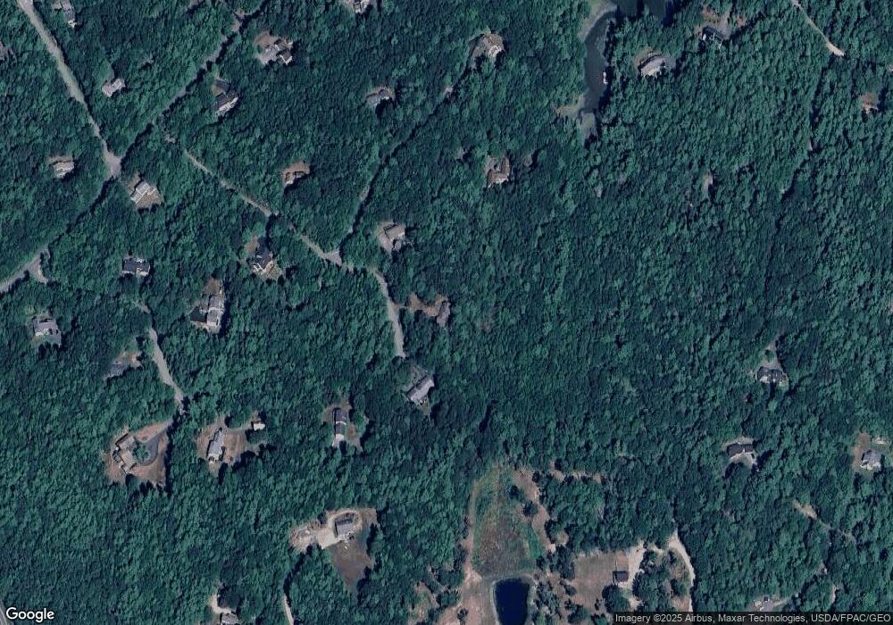
Map
Nearby Homes
- 29 & 30 Nob Hill Ave
- 646 Gurnet Rd
- 51 & 53 Rock Haven Dr
- 93 Abbot Cove Rd
- 242 Long Reach Ln
- 260 Coombs Rd
- 37 & 38 S Dyers Cove Rd
- 46 Dam Cove Rd
- 10 Birch Point Rd
- 270 Harpswell Neck Rd
- 6 Balsam Ave
- 47 Cluf Bay Rd
- 11 Orion Point Way
- 136 Bethel Point Rd
- 19 Ward Cir
- Lot 27 Howards Point Ln
- 38 Ward Cir
- 2 Chickadee Cir Unit 2
- 88 Campbell Pond Rd
- 11 Neptune Dr
- 43 Sagamore Rd
- 6 Long Cove Rd
- 0 Long Cove Rd
- n/a Long Island
- 26 Long Cove Rd
- 40 Sagamore Rd
- 20 Sagamore
- 22 Sagamore Rd
- 9 Shapleigh Rd
- 19 Sagamore Rd
- 15 Long Cove Rd
- 20 Spur Rd
- 19 Shapleigh Rd
- 21 Keri Dr
- 29 Shapleigh Rd
- 25 Long Cove Rd
- 76 Gurnet Landing Rd
- 70 Gurnet Landing Rd
- 71 Keri Dr
- 13 Shapleigh Rd