39 Sassafras Ridge Blue Ridge, GA 30513
Estimated Value: $478,000 - $599,000
--
Bed
2
Baths
1,456
Sq Ft
$366/Sq Ft
Est. Value
About This Home
This home is located at 39 Sassafras Ridge, Blue Ridge, GA 30513 and is currently estimated at $533,413, approximately $366 per square foot. 39 Sassafras Ridge is a home located in Fannin County with nearby schools including Fannin County High School.
Ownership History
Date
Name
Owned For
Owner Type
Purchase Details
Closed on
Jun 29, 2012
Sold by
Wells Fargo Bank
Bought by
Wheeler Robert
Current Estimated Value
Home Financials for this Owner
Home Financials are based on the most recent Mortgage that was taken out on this home.
Original Mortgage
$62,418
Outstanding Balance
$43,492
Interest Rate
3.87%
Mortgage Type
FHA
Estimated Equity
$489,921
Purchase Details
Closed on
Jan 23, 2012
Sold by
Wells Fargo Bank Na As Trustee
Bought by
Wheeler Robert
Purchase Details
Closed on
Jul 5, 2011
Sold by
Mallernee Dwight E
Bought by
Wells Fargo Bank Na As Trustee
Purchase Details
Closed on
Feb 11, 1994
Bought by
Mallernee Dwight E
Purchase Details
Closed on
Feb 9, 1994
Bought by
Cook Wayne E and Cook
Purchase Details
Closed on
Aug 3, 1993
Bought by
Cook Wayne E and Cook
Purchase Details
Closed on
Jan 10, 1992
Bought by
Swartz Tom
Purchase Details
Closed on
Aug 28, 1989
Bought by
Detail Builders Inc
Create a Home Valuation Report for This Property
The Home Valuation Report is an in-depth analysis detailing your home's value as well as a comparison with similar homes in the area
Home Values in the Area
Average Home Value in this Area
Purchase History
| Date | Buyer | Sale Price | Title Company |
|---|---|---|---|
| Wheeler Robert | $77,000 | -- | |
| Wheeler Robert | $77,000 | -- | |
| Wells Fargo Bank Na As Trustee | -- | -- | |
| Wells Fargo Bank Na | $105,000 | -- | |
| Mallernee Dwight E | $46,300 | -- | |
| Cook Wayne E | -- | -- | |
| Cook Wayne E | $30,000 | -- | |
| Swartz Tom | -- | -- | |
| Detail Builders Inc | $29,300 | -- |
Source: Public Records
Mortgage History
| Date | Status | Borrower | Loan Amount |
|---|---|---|---|
| Open | Wheeler Robert | $62,418 |
Source: Public Records
Tax History Compared to Growth
Tax History
| Year | Tax Paid | Tax Assessment Tax Assessment Total Assessment is a certain percentage of the fair market value that is determined by local assessors to be the total taxable value of land and additions on the property. | Land | Improvement |
|---|---|---|---|---|
| 2024 | $535 | $141,867 | $10,224 | $131,643 |
| 2023 | $546 | $114,370 | $5,644 | $108,726 |
| 2022 | $549 | $115,797 | $5,644 | $110,153 |
| 2021 | $630 | $71,172 | $5,644 | $65,528 |
| 2020 | $639 | $71,172 | $5,644 | $65,528 |
| 2019 | $652 | $71,172 | $5,644 | $65,528 |
| 2018 | $691 | $69,895 | $4,367 | $65,528 |
| 2017 | $1,276 | $72,141 | $5,727 | $66,414 |
| 2016 | $673 | $62,549 | $5,727 | $56,822 |
| 2015 | $1,066 | $60,100 | $4,450 | $55,650 |
| 2014 | $1,543 | $87,220 | $4,450 | $82,770 |
| 2013 | -- | $45,470 | $4,449 | $41,021 |
Source: Public Records
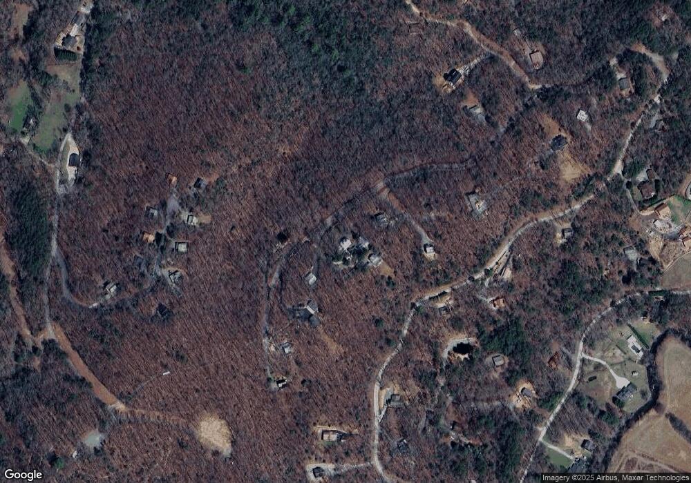
Map
Nearby Homes
- 78 Brass Hill Rd Unit 146
- 78 Brass Hill Rd
- 30 Laurel Branch
- 150 Laurel Trace
- 9 Quail Hollow
- 31 Highland Hammock Dr
- 1441 Chestnut Gap Rd
- 384 Mountain Highlands Ct
- 201 Plantation Ln
- 249 Sugar Mountain Rd
- 521 Lower Prince Mountain Rd
- 31 the Kings Ct
- 587 Lower Prince Mountain Rd
- 240 Lower Prince Mountain Rd
- 344 Cascade Ln
- 825 Price Rd
- 312 Covered Bridge Ln
- 312 Covered Bridge
- LOT 1 High Knee Rd
- 39 Sassafrass Ridge
- 41 Sassafrass Ridge
- 750 Laurel Crossing
- 20 Sassafras Ridge
- 42 Brass Hill Rd
- 20 Sassafrass Ridge
- 41 Sassafras Ridge
- 711 Laurel Crossing
- 47 Brass Hill Rd
- 0 Laurel Crossing Unit 100 7486078
- 0 Laurel Crossing Unit 134800
- 0 Laurel Crossing Unit 329488
- 0 Laurel Crossing Unit 320769
- 0 Laurel Crossing Unit 312783
- 0 Laurel Crossing Unit 99 7485983
- 0 Laurel Crossing Unit 8006754
- 0 Laurel Crossing Unit 8144359
- 0 Laurel Crossing Unit 131 8464890
- 771 Laurel Crossing
- 850 Laurel Cir