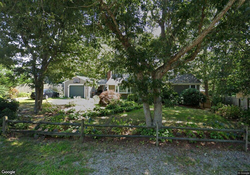
39 Setucket Rd Yarmouth Port, MA 02675
Yarmouth Port NeighborhoodEstimated Value: $508,000 - $615,000
3
Beds
1
Bath
1,056
Sq Ft
$512/Sq Ft
Est. Value
About This Home
This home is located at 39 Setucket Rd, Yarmouth Port, MA 02675 and is currently estimated at $541,091, approximately $512 per square foot. 39 Setucket Rd is a home located in Barnstable County with nearby schools including Dennis-Yarmouth Regional High School and St. Pius X. School.
Ownership History
Date
Name
Owned For
Owner Type
Purchase Details
Closed on
Oct 25, 2001
Sold by
Simonetty Jerome A
Bought by
Simonetty Jerome A
Current Estimated Value
Home Financials for this Owner
Home Financials are based on the most recent Mortgage that was taken out on this home.
Original Mortgage
$75,000
Interest Rate
6.86%
Mortgage Type
Purchase Money Mortgage
Create a Home Valuation Report for This Property
The Home Valuation Report is an in-depth analysis detailing your home's value as well as a comparison with similar homes in the area
Home Values in the Area
Average Home Value in this Area
Purchase History
| Date | Buyer | Sale Price | Title Company |
|---|---|---|---|
| Simonetty Jerome A | $85,000 | -- |
Source: Public Records
Mortgage History
| Date | Status | Borrower | Loan Amount |
|---|---|---|---|
| Open | Simonetty Jerome A | $133,100 | |
| Closed | Simonetty Jerome A | $75,000 | |
| Previous Owner | Simonetty Jerome A | $74,400 | |
| Previous Owner | Simonetty Jerome A | $87,000 |
Source: Public Records
Tax History Compared to Growth
Tax History
| Year | Tax Paid | Tax Assessment Tax Assessment Total Assessment is a certain percentage of the fair market value that is determined by local assessors to be the total taxable value of land and additions on the property. | Land | Improvement |
|---|---|---|---|---|
| 2025 | $2,988 | $422,000 | $135,300 | $286,700 |
| 2024 | $2,995 | $405,800 | $142,600 | $263,200 |
| 2023 | $2,920 | $360,000 | $127,100 | $232,900 |
| 2022 | $2,747 | $299,200 | $114,400 | $184,800 |
| 2021 | $2,586 | $270,500 | $114,400 | $156,100 |
| 2020 | $2,534 | $253,400 | $114,400 | $139,000 |
| 2019 | $2,350 | $232,700 | $114,400 | $118,300 |
| 2018 | $2,176 | $211,500 | $93,200 | $118,300 |
| 2017 | $2,119 | $211,500 | $93,200 | $118,300 |
| 2016 | $2,026 | $203,000 | $84,700 | $118,300 |
| 2015 | $2,074 | $206,600 | $84,700 | $121,900 |
Source: Public Records
Map
Nearby Homes
- 44 Stratford Ln
- 6 Nimble Hill Dr
- 43 Canterbury Rd
- 34 Kates Path
- 34 Kates Path Unit 34
- 64 Kates Path
- 86 Pompano Rd
- 17 Kates Path Unit A
- 228 Kates Path
- 42 John Hall Cartway Unit 42
- 59 Main St Unit 19-2
- 59 Route 6a Unit 29-4
- 50 John Hall Cartway
- 50 John Hall Cartway Unit 50
- 111 Merchant Ave
- 51 Bray Farm Rd N
- 25 Oak Glen Village Unit 25
- 25 Oak Glen
- 13 Covey Dr
- 7 Forest Gate Unit 7