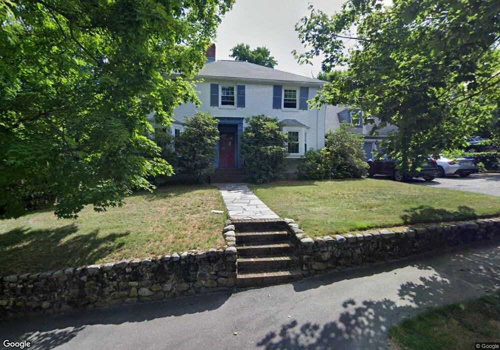
39 Shady Hill Rd Newton Highlands, MA 02461
Newton Highlands NeighborhoodEstimated Value: $1,583,000 - $1,773,000
3
Beds
3
Baths
2,575
Sq Ft
$641/Sq Ft
Est. Value
About This Home
This home is located at 39 Shady Hill Rd, Newton Highlands, MA 02461 and is currently estimated at $1,651,252, approximately $641 per square foot. 39 Shady Hill Rd is a home located in Middlesex County with nearby schools including Countryside Elementary School, Charles E Brown Middle School, and Newton South High School.
Ownership History
Date
Name
Owned For
Owner Type
Purchase Details
Closed on
Nov 8, 2004
Sold by
Donovan Joseph X and Orenstein Raisa S
Bought by
Shady Hill Rt
Current Estimated Value
Purchase Details
Closed on
May 15, 1998
Sold by
Swartz Rt and Swartz Michael H
Bought by
Donovan Joseph X and Orenstein Raisa S
Home Financials for this Owner
Home Financials are based on the most recent Mortgage that was taken out on this home.
Original Mortgage
$395,000
Interest Rate
7.08%
Mortgage Type
Purchase Money Mortgage
Create a Home Valuation Report for This Property
The Home Valuation Report is an in-depth analysis detailing your home's value as well as a comparison with similar homes in the area
Home Values in the Area
Average Home Value in this Area
Purchase History
| Date | Buyer | Sale Price | Title Company |
|---|---|---|---|
| Shady Hill Rt | -- | -- | |
| Donovan Joseph X | $494,000 | -- |
Source: Public Records
Mortgage History
| Date | Status | Borrower | Loan Amount |
|---|---|---|---|
| Previous Owner | Donovan Joseph X | $395,000 |
Source: Public Records
Tax History Compared to Growth
Tax History
| Year | Tax Paid | Tax Assessment Tax Assessment Total Assessment is a certain percentage of the fair market value that is determined by local assessors to be the total taxable value of land and additions on the property. | Land | Improvement |
|---|---|---|---|---|
| 2025 | $12,485 | $1,274,000 | $943,100 | $330,900 |
| 2024 | $12,072 | $1,236,900 | $915,600 | $321,300 |
| 2023 | $11,481 | $1,127,800 | $702,400 | $425,400 |
| 2022 | $10,986 | $1,044,300 | $650,400 | $393,900 |
| 2021 | $10,601 | $985,200 | $613,600 | $371,600 |
| 2020 | $10,285 | $985,200 | $613,600 | $371,600 |
| 2019 | $9,995 | $956,500 | $595,700 | $360,800 |
| 2018 | $9,583 | $885,700 | $540,600 | $345,100 |
| 2017 | $9,292 | $835,600 | $510,000 | $325,600 |
| 2016 | $8,887 | $780,900 | $476,600 | $304,300 |
| 2015 | $8,473 | $729,800 | $445,400 | $284,400 |
Source: Public Records
Map
Nearby Homes
- 1308 Walnut St
- 1292 Walnut St
- 125 Oakdale Rd
- 1629 Centre St
- 1623-1625 Centre St
- 1597 Centre St Unit 1597
- 1597 Centre St
- 250 Woodcliff Rd
- 116 Upland Ave
- 671 Boylston St
- 19 Selwyn Rd
- 1151 Walnut St Unit 205
- 1151 Walnut St Unit 405
- 1151 Walnut St Unit 207
- 628 Boylston St
- 36 Cannon St
- 42 Sunhill Ln
- 625 Boylston St
- 3 Glenmore Terrace Unit 2
- 21 Philbrick Rd
- 31 Shady Hill Rd
- 20 Stony Brae Rd
- 1329 Walnut St
- 8 Stony Brae Rd
- 36 Stony Brae Rd
- 1335 Walnut St
- 1335 Walnut St Unit 1
- 21 Shady Hill Rd
- 38 Shady Hill Rd
- 1341 Walnut St
- 30 Shady Hill Rd
- 44 Stony Brae Rd
- 1347 Walnut St
- 24 Shady Hill Rd
- 21 Stony Brae Rd
- 27 Stony Brae Rd
- 1353 Walnut St
- 5 Stony Brae Rd
- 37 Stony Brae Rd
- 20 Shady Hill Rd