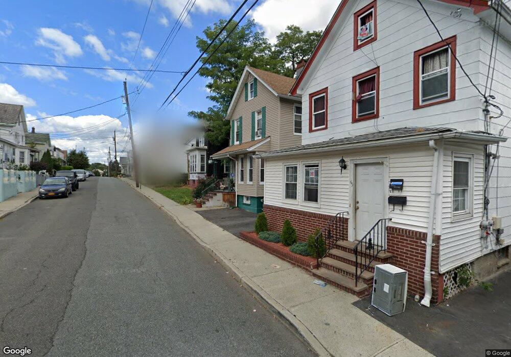
39 Sharp St Haverstraw, NY 10927
Estimated Value: $426,000 - $476,000
3
Beds
2
Baths
1,473
Sq Ft
$314/Sq Ft
Est. Value
About This Home
This home is located at 39 Sharp St, Haverstraw, NY 10927 and is currently estimated at $463,169, approximately $314 per square foot. 39 Sharp St is a home located in Rockland County with nearby schools including Haverstraw Elementary School, West Haverstraw Elementary School, and Fieldstone Secondary School.
Ownership History
Date
Name
Owned For
Owner Type
Purchase Details
Closed on
Jul 22, 2019
Sold by
Rockland County Referee
Bought by
St Marys Properties Llc
Current Estimated Value
Purchase Details
Closed on
Jun 30, 1997
Sold by
Sandbach Wallace F and Sandbach Kathryn A
Bought by
Struett Mary Anne and Bases Joseph J
Home Financials for this Owner
Home Financials are based on the most recent Mortgage that was taken out on this home.
Original Mortgage
$125,400
Interest Rate
7.86%
Mortgage Type
Construction
Create a Home Valuation Report for This Property
The Home Valuation Report is an in-depth analysis detailing your home's value as well as a comparison with similar homes in the area
Home Values in the Area
Average Home Value in this Area
Purchase History
| Date | Buyer | Sale Price | Title Company |
|---|---|---|---|
| St Marys Properties Llc | $125,100 | Westcor Land Title Ins Co | |
| Struett Mary Anne | $132,000 | Chicago Title Insurance Co |
Source: Public Records
Mortgage History
| Date | Status | Borrower | Loan Amount |
|---|---|---|---|
| Previous Owner | Struett Mary Anne | $125,400 |
Source: Public Records
Tax History
| Year | Tax Paid | Tax Assessment Tax Assessment Total Assessment is a certain percentage of the fair market value that is determined by local assessors to be the total taxable value of land and additions on the property. | Land | Improvement |
|---|---|---|---|---|
| 2024 | $47,618 | $170,500 | $76,100 | $94,400 |
| 2023 | $47,618 | $170,500 | $76,100 | $94,400 |
| 2022 | $2,324 | $170,500 | $76,100 | $94,400 |
| 2021 | $45,927 | $170,500 | $76,100 | $94,400 |
| 2020 | $12,848 | $184,300 | $76,100 | $108,200 |
| 2019 | $2,530 | $184,300 | $76,100 | $108,200 |
| 2018 | $11,236 | $184,300 | $76,100 | $108,200 |
| 2017 | $10,688 | $184,300 | $76,100 | $108,200 |
| 2016 | $10,664 | $184,300 | $76,100 | $108,200 |
| 2015 | -- | $184,300 | $76,100 | $108,200 |
| 2014 | -- | $184,300 | $76,100 | $108,200 |
Source: Public Records
Map
Nearby Homes
- 37 Conklin Ave
- 20 Pratt St
- 50 Westside Ave
- 5 Pratt St
- 54 Hudson Ave
- 84 Village Mill Unit 84
- 90 Conklin Ave
- 9 Simenovsky Dr
- 55 Picariello Dr
- 9 Hillside Ave
- 55 New Main St
- 66 Broadway
- 27 Warren Ave
- 27 Conger Ave
- 10 Jefferson St
- 63 Westside Ave
- 165 Gurnee Ave
- 7 Conger Ave
- 79 Clove Ave
- 22 Ferracane Place
Your Personal Tour Guide
Ask me questions while you tour the home.