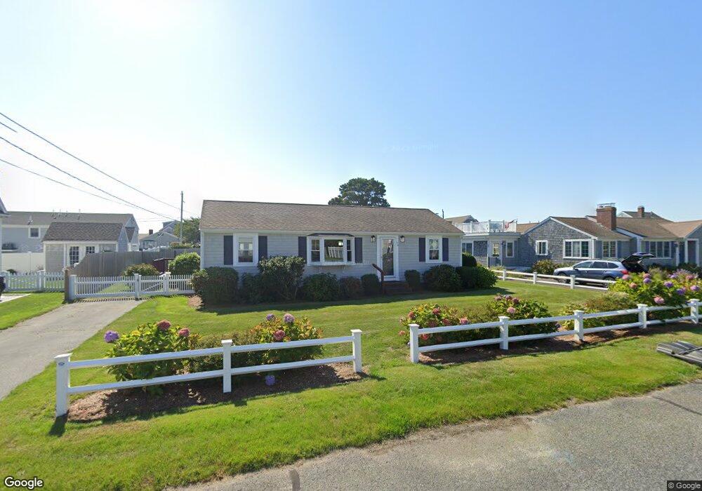
39 Shore Rd West Dennis, MA 02670
West Dennis NeighborhoodEstimated Value: $808,000 - $916,000
4
Beds
2
Baths
1,001
Sq Ft
$860/Sq Ft
Est. Value
About This Home
This home is located at 39 Shore Rd, West Dennis, MA 02670 and is currently estimated at $860,867, approximately $860 per square foot. 39 Shore Rd is a home located in Barnstable County with nearby schools including Dennis-Yarmouth Regional High School and St. Pius X. School.
Ownership History
Date
Name
Owned For
Owner Type
Purchase Details
Closed on
May 22, 2013
Sold by
39 Shore Road Rt
Bought by
Larsen Donald F and Larsen Marykate
Current Estimated Value
Home Financials for this Owner
Home Financials are based on the most recent Mortgage that was taken out on this home.
Original Mortgage
$213,800
Outstanding Balance
$46,503
Interest Rate
3.45%
Estimated Equity
$814,364
Purchase Details
Closed on
Mar 22, 2002
Sold by
Bean Robert W and Bean Karen L
Bought by
Larsen Donald F
Home Financials for this Owner
Home Financials are based on the most recent Mortgage that was taken out on this home.
Original Mortgage
$275,000
Interest Rate
6.91%
Mortgage Type
Purchase Money Mortgage
Purchase Details
Closed on
Dec 23, 1996
Sold by
Terrile Elinor H
Bought by
Bean Robert W and Bean Karen L
Create a Home Valuation Report for This Property
The Home Valuation Report is an in-depth analysis detailing your home's value as well as a comparison with similar homes in the area
Home Values in the Area
Average Home Value in this Area
Purchase History
| Date | Buyer | Sale Price | Title Company |
|---|---|---|---|
| Larsen Donald F | -- | -- | |
| Larsen Donald F | $306,000 | -- | |
| Bean Robert W | $142,500 | -- |
Source: Public Records
Mortgage History
| Date | Status | Borrower | Loan Amount |
|---|---|---|---|
| Open | Larsen Donald F | $213,800 | |
| Previous Owner | Bean Robert W | $287,250 | |
| Previous Owner | Bean Robert W | $276,000 | |
| Previous Owner | Bean Robert W | $275,000 | |
| Previous Owner | Bean Robert W | $127,200 |
Source: Public Records
Tax History Compared to Growth
Tax History
| Year | Tax Paid | Tax Assessment Tax Assessment Total Assessment is a certain percentage of the fair market value that is determined by local assessors to be the total taxable value of land and additions on the property. | Land | Improvement |
|---|---|---|---|---|
| 2025 | $3,387 | $782,300 | $390,000 | $392,300 |
| 2024 | $2,978 | $678,400 | $312,500 | $365,900 |
| 2023 | $2,881 | $616,900 | $284,100 | $332,800 |
| 2022 | $2,801 | $500,100 | $255,900 | $244,200 |
| 2021 | $2,736 | $453,700 | $250,900 | $202,800 |
| 2020 | $2,824 | $462,900 | $278,800 | $184,100 |
| 2019 | $2,696 | $437,000 | $273,300 | $163,700 |
| 2018 | $2,581 | $407,100 | $260,200 | $146,900 |
| 2017 | $2,315 | $376,400 | $234,200 | $142,200 |
| 2016 | $2,328 | $356,500 | $239,400 | $117,100 |
| 2015 | $2,282 | $356,500 | $239,400 | $117,100 |
| 2014 | $2,238 | $352,400 | $239,400 | $113,000 |
Source: Public Records
Map
Nearby Homes
- 2 Rita Mary Way
- 14 Schoolhouse Ln
- 178 School St
- 209 Main St Unit 3
- 209 Main St Unit 6
- 209 Main St Unit 1
- 209 Main St Unit 2
- 209 Main St Unit 4
- 209 Main St Unit 5
- 23 Doric Ave
- 308 Old Main St
- 181 Pleasant St
- 401 Main St Unit 201
- 401 Main St Unit 101
- 45 Seth Ln
- 40 Kelley Rd
- 467 Main St
- 428 Main St Unit 1-11
- 29 Bass River Rd
- 6 Baker Way