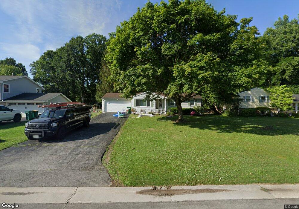
39 Sperry Dr Henrietta, NY 14467
Estimated Value: $215,000 - $276,000
3
Beds
2
Baths
1,064
Sq Ft
$227/Sq Ft
Est. Value
About This Home
This home is located at 39 Sperry Dr, Henrietta, NY 14467 and is currently estimated at $241,224, approximately $226 per square foot. 39 Sperry Dr is a home located in Monroe County with nearby schools including Floyd S. Winslow Elementary School, Charles H. Roth Junior High School, and Rush-Henrietta Senior High School.
Ownership History
Date
Name
Owned For
Owner Type
Purchase Details
Closed on
Nov 24, 2020
Sold by
Doran Kennteh M and Doran Pamela J
Bought by
Reno Zachary and Davila Sarah
Current Estimated Value
Home Financials for this Owner
Home Financials are based on the most recent Mortgage that was taken out on this home.
Original Mortgage
$65,000
Outstanding Balance
$57,973
Interest Rate
2.8%
Mortgage Type
New Conventional
Estimated Equity
$183,251
Purchase Details
Closed on
Mar 6, 1995
Sold by
Miller Gary W
Bought by
Doran Kenneth M and Doran Pamela J
Create a Home Valuation Report for This Property
The Home Valuation Report is an in-depth analysis detailing your home's value as well as a comparison with similar homes in the area
Home Values in the Area
Average Home Value in this Area
Purchase History
| Date | Buyer | Sale Price | Title Company |
|---|---|---|---|
| Reno Zachary | $65,000 | None Available | |
| Doran Kenneth M | $84,900 | -- |
Source: Public Records
Mortgage History
| Date | Status | Borrower | Loan Amount |
|---|---|---|---|
| Open | Reno Zachary | $65,000 |
Source: Public Records
Tax History
| Year | Tax Paid | Tax Assessment Tax Assessment Total Assessment is a certain percentage of the fair market value that is determined by local assessors to be the total taxable value of land and additions on the property. | Land | Improvement |
|---|---|---|---|---|
| 2024 | $4,675 | $171,600 | $37,000 | $134,600 |
| 2023 | $4,621 | $171,600 | $37,000 | $134,600 |
| 2022 | $4,311 | $156,000 | $37,000 | $119,000 |
| 2021 | $3,732 | $123,700 | $23,000 | $100,700 |
| 2020 | $3,133 | $123,700 | $23,000 | $100,700 |
| 2019 | $2,741 | $116,700 | $23,000 | $93,700 |
| 2018 | $2,774 | $106,100 | $23,000 | $83,100 |
| 2017 | $1,525 | $106,100 | $23,000 | $83,100 |
| 2016 | $2,741 | $106,100 | $23,000 | $83,100 |
| 2015 | -- | $106,100 | $23,000 | $83,100 |
| 2014 | -- | $106,100 | $23,000 | $83,100 |
Source: Public Records
Map
Nearby Homes
- 36 Tomahawk Trail
- 3224 E Henrietta Rd
- 248 Gate House Trail
- 36 Round Hill Rd
- 29 Amesbury Rd
- 27 Marr Dr
- 3 Nightfrost Ln
- 95 Wildherd Dr
- 0 E Henrietta Rd Unit R1636896
- 60 Stoddard Dr
- 143 Detroit Trail
- 10 Nevins Rd
- 41 Wallman Dr
- 4058 E Henrietta Rd
- 108 Bradford Rd
- 292 Hollybrook Rd
- 259 Nevins Rd
- 22 Whitley Ct
- 20 Bridleridge Farms (Lot 61)
- 8 Trailhead Rd
Your Personal Tour Guide
Ask me questions while you tour the home.