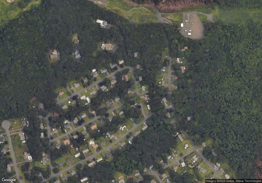
39 Split Rock Dr Wolcott, CT 06716
Estimated Value: $694,272 - $839,000
4
Beds
4
Baths
3,122
Sq Ft
$242/Sq Ft
Est. Value
About This Home
This home is located at 39 Split Rock Dr, Wolcott, CT 06716 and is currently estimated at $755,318, approximately $241 per square foot. 39 Split Rock Dr is a home located in New Haven County with nearby schools including Tyrrell Middle School, Wolcott High School, and St Peter & Paul School.
Ownership History
Date
Name
Owned For
Owner Type
Purchase Details
Closed on
Jun 8, 2009
Sold by
Barrieau William R
Bought by
Rado Edward J and Rado Karen
Current Estimated Value
Home Financials for this Owner
Home Financials are based on the most recent Mortgage that was taken out on this home.
Original Mortgage
$328,000
Outstanding Balance
$207,905
Interest Rate
4.83%
Estimated Equity
$547,413
Create a Home Valuation Report for This Property
The Home Valuation Report is an in-depth analysis detailing your home's value as well as a comparison with similar homes in the area
Home Values in the Area
Average Home Value in this Area
Purchase History
| Date | Buyer | Sale Price | Title Company |
|---|---|---|---|
| Rado Edward J | $410,000 | -- |
Source: Public Records
Mortgage History
| Date | Status | Borrower | Loan Amount |
|---|---|---|---|
| Open | Rado Edward J | $328,000 | |
| Previous Owner | Rado Edward J | $98,103 | |
| Previous Owner | Rado Edward J | $235,000 |
Source: Public Records
Tax History
| Year | Tax Paid | Tax Assessment Tax Assessment Total Assessment is a certain percentage of the fair market value that is determined by local assessors to be the total taxable value of land and additions on the property. | Land | Improvement |
|---|---|---|---|---|
| 2025 | $11,768 | $327,520 | $51,770 | $275,750 |
| 2024 | $10,831 | $327,520 | $51,770 | $275,750 |
| 2023 | $10,438 | $327,520 | $51,770 | $275,750 |
| 2022 | $10,088 | $327,520 | $51,770 | $275,750 |
| 2021 | $10,331 | $311,740 | $49,250 | $262,490 |
| 2020 | $10,331 | $311,740 | $49,250 | $262,490 |
| 2019 | $10,331 | $311,740 | $49,250 | $262,490 |
| 2018 | $10,038 | $311,740 | $49,250 | $262,490 |
| 2017 | $9,748 | $311,740 | $49,250 | $262,490 |
| 2016 | $10,196 | $352,670 | $52,600 | $300,070 |
| 2015 | $9,903 | $352,670 | $52,600 | $300,070 |
| 2014 | $9,582 | $352,670 | $52,600 | $300,070 |
Source: Public Records
Map
Nearby Homes
- 53 Knollwood Dr
- 0 Woodtick Rd Unit 24119429
- 3 Pimlico Rd
- 165 Garrigus Ct
- 0 Central Avenue and Old Bound Line Rd
- 186 Windy Dr
- 0 Arvida Rd Unit 24054898
- 00 Woodtick Rd
- 312 Celia Dr
- 20 Wolf Hill Rd Unit 7H
- 443 Todd Rd
- 36 Sharon Rd Unit 11
- 162 Townsend Ave
- 188 Beth Ln
- 28 Barker Terrace
- 600 Woodtick Rd
- 817 Woodtick Rd Unit A
- 21 Blue Trail Dr
- 0 Bound Line Rd Unit 170253486
- 210 Munson Rd Unit 2-D
- 37 Mountain View Dr
- 35 Mountain View Dr
- 45 Split Rock Dr
- 33 Mountain View Dr
- 30 Split Rock Dr
- 31 Mountain View Dr
- 34 Mountain View Dr
- 24 Split Rock Dr
- 29 Mountain View Dr
- 32 Mountain View Dr
- 30 Mountain View Dr
- 21 Split Rock Dr
- 27 Mountain View Dr
- 19 Split Rock Dr
- 22 Split Rock Dr
- 4 Lynwood Dr
- 16 Split Rock Dr
- 16 Lynwood Dr
- 28 Mountain View Dr
- 172 Todd Rd
