39 St Andrews Place Edwards, CO 81632
Estimated Value: $7,552,000 - $9,383,559
7
Beds
8
Baths
8,785
Sq Ft
$976/Sq Ft
Est. Value
About This Home
This home is located at 39 St Andrews Place, Edwards, CO 81632 and is currently estimated at $8,570,520, approximately $975 per square foot. 39 St Andrews Place is a home located in Eagle County with nearby schools including Edwards Early Learning Center, Berry Creek Middle School, and Battle Mountain High School.
Ownership History
Date
Name
Owned For
Owner Type
Purchase Details
Closed on
May 13, 2011
Sold by
Grubbs George R and Grubbs Jan W
Bought by
White River Investment Ltd
Current Estimated Value
Home Financials for this Owner
Home Financials are based on the most recent Mortgage that was taken out on this home.
Original Mortgage
$3,000,000
Outstanding Balance
$2,087,739
Interest Rate
4.91%
Mortgage Type
Unknown
Estimated Equity
$6,482,781
Purchase Details
Closed on
Dec 17, 2002
Sold by
Weeping Willow Services Lp
Bought by
Grubbs George R and Grubbs Jan W
Purchase Details
Closed on
Dec 5, 1997
Sold by
Arden Real Estate & Dev Co Inc
Bought by
Weeping Willow Services Lp
Purchase Details
Closed on
Dec 1, 1997
Sold by
Johnson Andrew D
Bought by
Arden Real Estate & Development Co Inc
Purchase Details
Closed on
Apr 17, 1995
Create a Home Valuation Report for This Property
The Home Valuation Report is an in-depth analysis detailing your home's value as well as a comparison with similar homes in the area
Home Values in the Area
Average Home Value in this Area
Purchase History
| Date | Buyer | Sale Price | Title Company |
|---|---|---|---|
| White River Investment Ltd | $4,000,000 | Title Company Of The Rockies | |
| Grubbs George R | $2,800,000 | Land Title Guarantee Company | |
| Weeping Willow Services Lp | -- | Land Title | |
| Weeping Willow Services Lp | -- | -- | |
| Arden Real Estate & Development Co Inc | $395,000 | -- | |
| -- | $260,000 | -- |
Source: Public Records
Mortgage History
| Date | Status | Borrower | Loan Amount |
|---|---|---|---|
| Open | White River Investment Ltd | $3,000,000 |
Source: Public Records
Tax History Compared to Growth
Tax History
| Year | Tax Paid | Tax Assessment Tax Assessment Total Assessment is a certain percentage of the fair market value that is determined by local assessors to be the total taxable value of land and additions on the property. | Land | Improvement |
|---|---|---|---|---|
| 2024 | $27,651 | $504,830 | $141,340 | $363,490 |
| 2023 | $27,651 | $504,830 | $141,340 | $363,490 |
| 2022 | $22,547 | $326,650 | $62,550 | $264,100 |
| 2021 | $22,906 | $336,050 | $64,350 | $271,700 |
| 2020 | $20,759 | $294,910 | $78,650 | $216,260 |
| 2019 | $20,662 | $294,910 | $78,650 | $216,260 |
| 2018 | $23,086 | $316,570 | $54,000 | $262,570 |
| 2017 | $22,891 | $316,570 | $54,000 | $262,570 |
| 2016 | $25,305 | $348,790 | $59,700 | $289,090 |
| 2015 | -- | $348,790 | $59,700 | $289,090 |
| 2014 | $17,359 | $261,510 | $59,700 | $201,810 |
Source: Public Records
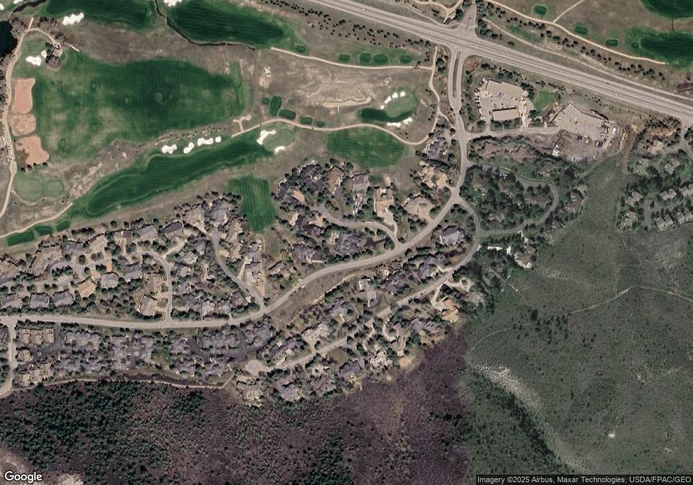
Map
Nearby Homes
- 150 Sawatch Dr
- 116 Castle Peak Close
- 63 Dakota Park
- 64 Wildflower Place Unit E
- 44 Knudson Ranch Rd
- 80 Mountain Retreat Ct
- 54 Cresta Rd Unit F-6
- 66 Arrowhead Cir Unit 5
- 627 Sawatch Dr Unit 205
- 21 River Dance Rd
- 57 Mccoy Creek Dr Unit A
- 90 Riverbend Ct Unit E
- 142 Arrowhead Cir Unit B201
- 673 Sawatch Dr Unit E8
- 160 Cresta Rd Unit R-202
- 74 Cresta Rd Unit 106
- 4 Ambleside Place
- 37305 Hwy 6 Unit 106
- 37305 Hwy 6 Unit 305
- 37347 Hwy 6 Unit 205
- 246 Sawatch Dr Unit 22
- 244 Sawatch Dr Unit 23
- 244 Sawatch Dr Unit 27
- 67 Saint Andrews Dr
- 67 St Andrews Place
- 144 Castle Peak Gate
- 14 St Andrews Place
- 36 St Andrews Place
- 62 Saint Andrews Dr
- 247 Castle Peak Gate
- 282 Sawatch Dr
- 77 St Andrews Place
- 78 St Andrews Place
- 84 Castle Peak Gate (South) St
- 84 Castle Peak Gate Unit N
- 84 Castle Peak Gate Unit S
- 84 Castle Peak Gate
- 286 Sawatch Dr Unit 17
- 288 Sawatch Dr Unit 16
- 196 Castle Peak Gate (East Half) Unit A