39 Summit Rd Hazleton, PA 18202
Estimated Value: $517,562 - $763,000
5
Beds
3
Baths
3,550
Sq Ft
$178/Sq Ft
Est. Value
About This Home
This home is located at 39 Summit Rd, Hazleton, PA 18202 and is currently estimated at $630,641, approximately $177 per square foot. 39 Summit Rd is a home located in Schuylkill County with nearby schools including Hazleton Area High School.
Ownership History
Date
Name
Owned For
Owner Type
Purchase Details
Closed on
May 26, 2021
Sold by
Scalcione Anthony and Scalcione Nina
Bought by
Beauregard Rene Joseph and Beauregard Tulri Esther
Current Estimated Value
Home Financials for this Owner
Home Financials are based on the most recent Mortgage that was taken out on this home.
Original Mortgage
$85,001
Outstanding Balance
$75,945
Interest Rate
2.9%
Mortgage Type
New Conventional
Estimated Equity
$554,696
Purchase Details
Closed on
Apr 23, 2006
Sold by
Eagle Rock Resort Co
Bought by
Scalcione Anthony and Scalcione Nina
Create a Home Valuation Report for This Property
The Home Valuation Report is an in-depth analysis detailing your home's value as well as a comparison with similar homes in the area
Home Values in the Area
Average Home Value in this Area
Purchase History
| Date | Buyer | Sale Price | Title Company |
|---|---|---|---|
| Beauregard Rene Joseph | $395,000 | None Available | |
| Beauregard Rene Joseph | $395,000 | None Available | |
| Scalcione Anthony | $46,463 | None Available | |
| Scalcione Anthony | $46,463 | None Available | |
| Scalcione Anthony | $46,463 | None Available | |
| Scalcione Anthony | $46,463 | None Available |
Source: Public Records
Mortgage History
| Date | Status | Borrower | Loan Amount |
|---|---|---|---|
| Open | Beauregard Rene Joseph | $85,001 |
Source: Public Records
Tax History
| Year | Tax Paid | Tax Assessment Tax Assessment Total Assessment is a certain percentage of the fair market value that is determined by local assessors to be the total taxable value of land and additions on the property. | Land | Improvement |
|---|---|---|---|---|
| 2026 | $18,302 | $407,100 | $8,700 | $398,400 |
| 2025 | $4,425 | $72,975 | $2,995 | $69,980 |
| 2024 | $4,059 | $72,975 | $2,995 | $69,980 |
| 2023 | $3,974 | $72,975 | $2,995 | $69,980 |
| 2022 | $4,054 | $72,975 | $2,995 | $69,980 |
| 2021 | $3,868 | $72,975 | $2,995 | $69,980 |
| 2020 | $3,841 | $72,975 | $2,995 | $69,980 |
| 2018 | $3,929 | $72,975 | $2,995 | $69,980 |
| 2017 | $3,856 | $72,975 | $2,995 | $69,980 |
| 2015 | -- | $72,975 | $2,995 | $69,980 |
| 2011 | -- | $72,975 | $0 | $0 |
Source: Public Records
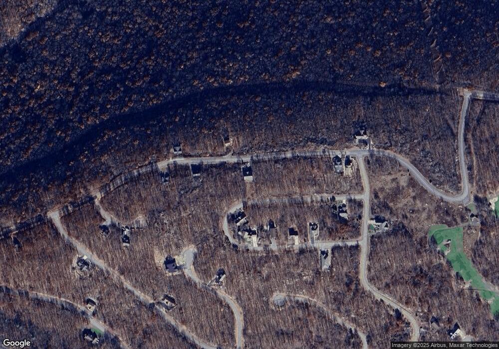
Map
Nearby Homes
- 395 Horseshoe Dr
- 49 Adobe Way
- WS-041 Summit Rd
- 0 W Fairways Cir
- WSS5.127 Mid Summer Dr
- 0 Tuscarora Dr W
- 0 Mid Summit Dr
- 138 Mid Summit Dr
- LOT# 310 Point of Woods
- 55 Conyngham Dr
- 0 Algonquin Dr Unit 24-281
- 0 Algonquin Dr Unit PASK2022426
- EA Lot 247 Algonquin Dr
- 29 Blackhawk Blvd
- 132 Kenoza Dr
- 5 Tioga Dr
- 349 ER Country Club Dr
- LOT 32 D Navaho Dr
- 0 W Tuscarora Dr
- WSS130 Peace Pipe Dr
- 39 Summit Rd
- 39 Summit Rd
- 358 Horseshoe Dr
- 398 Horseshoe
- 365 Horeshoe Dr Unit Lot 365
- 42 Summit Rd
- 21 Horseshoe Dr
- 37 Horseshoe Dr
- 49 Summit Rd
- 29 Horseshoe Dr
- 27 Horseshoe Dr
- 7 Horseshoe Dr
- 369 Horseshoe Dr
- WSS-377 Horseshoe Dr
- 394 Horseshoe Dr
- 400 Horseshoe Dr
- WS-363 Horseshoe Dr
- WS-394 Horseshoe Dr
- WS-366 Horseshoe Dr
- WS-377 Horseshoe Dr
Your Personal Tour Guide
Ask me questions while you tour the home.