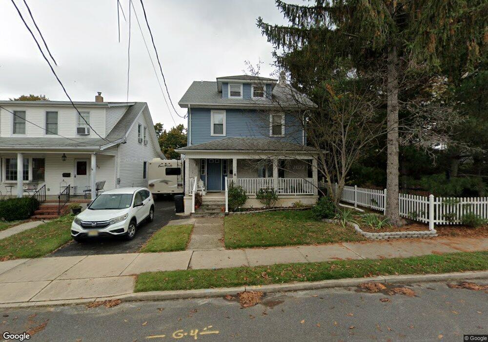
39 Thropp Ave Trenton, NJ 08610
Estimated Value: $394,555 - $539,000
--
Bed
--
Bath
2,340
Sq Ft
$203/Sq Ft
Est. Value
About This Home
This home is located at 39 Thropp Ave, Trenton, NJ 08610 and is currently estimated at $475,389, approximately $203 per square foot. 39 Thropp Ave is a home located in Mercer County with nearby schools including Robinson Elementary School, Albert E. Grice Middle School, and Hamilton West-Watson High School.
Ownership History
Date
Name
Owned For
Owner Type
Purchase Details
Closed on
Jul 21, 2016
Sold by
Decristoforo Paul
Bought by
Eyster Joseph and Lafountain Karlee
Current Estimated Value
Home Financials for this Owner
Home Financials are based on the most recent Mortgage that was taken out on this home.
Original Mortgage
$260,200
Outstanding Balance
$207,584
Interest Rate
3.56%
Mortgage Type
FHA
Estimated Equity
$267,805
Purchase Details
Closed on
Jan 30, 1992
Bought by
Eyster Charles and Graziano Deborah
Create a Home Valuation Report for This Property
The Home Valuation Report is an in-depth analysis detailing your home's value as well as a comparison with similar homes in the area
Home Values in the Area
Average Home Value in this Area
Purchase History
| Date | Buyer | Sale Price | Title Company |
|---|---|---|---|
| Eyster Joseph | $265,000 | Foundation Title Llc | |
| Eyster Charles | -- | -- |
Source: Public Records
Mortgage History
| Date | Status | Borrower | Loan Amount |
|---|---|---|---|
| Open | Eyster Joseph | $260,200 |
Source: Public Records
Tax History Compared to Growth
Tax History
| Year | Tax Paid | Tax Assessment Tax Assessment Total Assessment is a certain percentage of the fair market value that is determined by local assessors to be the total taxable value of land and additions on the property. | Land | Improvement |
|---|---|---|---|---|
| 2025 | $7,975 | $226,300 | $57,000 | $169,300 |
| 2024 | $7,475 | $226,300 | $57,000 | $169,300 |
| 2023 | $7,475 | $226,300 | $57,000 | $169,300 |
| 2022 | $7,357 | $226,300 | $57,000 | $169,300 |
| 2021 | $9,127 | $226,300 | $57,000 | $169,300 |
| 2020 | $8,062 | $226,300 | $57,000 | $169,300 |
| 2019 | $8,068 | $226,300 | $57,000 | $169,300 |
| 2018 | $8,006 | $226,300 | $57,000 | $169,300 |
| 2017 | $7,586 | $226,300 | $57,000 | $169,300 |
| 2016 | $6,119 | $226,300 | $57,000 | $169,300 |
| 2015 | $7,463 | $147,500 | $38,500 | $109,000 |
| 2014 | $7,303 | $147,500 | $38,500 | $109,000 |
Source: Public Records
Map
Nearby Homes
- 28 Thropp Ave
- 158 Churchill Ave
- 156 Maddock Ave
- 204 Thropp Ave
- 234 Thropp Ave
- 164 Lillian Ave
- 29 Oregon Ave
- 71 Homestead Ave
- 2325 S Broad St
- 1762 Exton Ave
- 1773 W Mcgalliard Ave
- 525 Lafayette Ave
- 7 Alfred Ave
- 1782 Orchard Ave
- 316 W Park Ave
- 95 Knapp Ave
- 256 Field Ave
- 27 Westcott Ave
- 376 White Horse Ave
- 604 Schiller Ave
- 33 Thropp Ave
- 49 Thropp Ave
- 36 Churchill Ave
- 29 Thropp Ave
- 29 Thropp Ave
- 48 Churchill Ave
- 57 Thropp Ave
- 22 Churchill Ave
- 54 Churchill Ave
- 38 Thropp Ave
- 32 Thropp Ave
- 58 Churchill Ave
- 48 Thropp Ave
- 24 Thropp Ave
- 3609 S Clinton Ave
- 2600 S Broad St
- 2600 S Broad St Unit 1
- 39 Churchill Ave
- 33 Churchill Ave
- 109 Thropp Ave