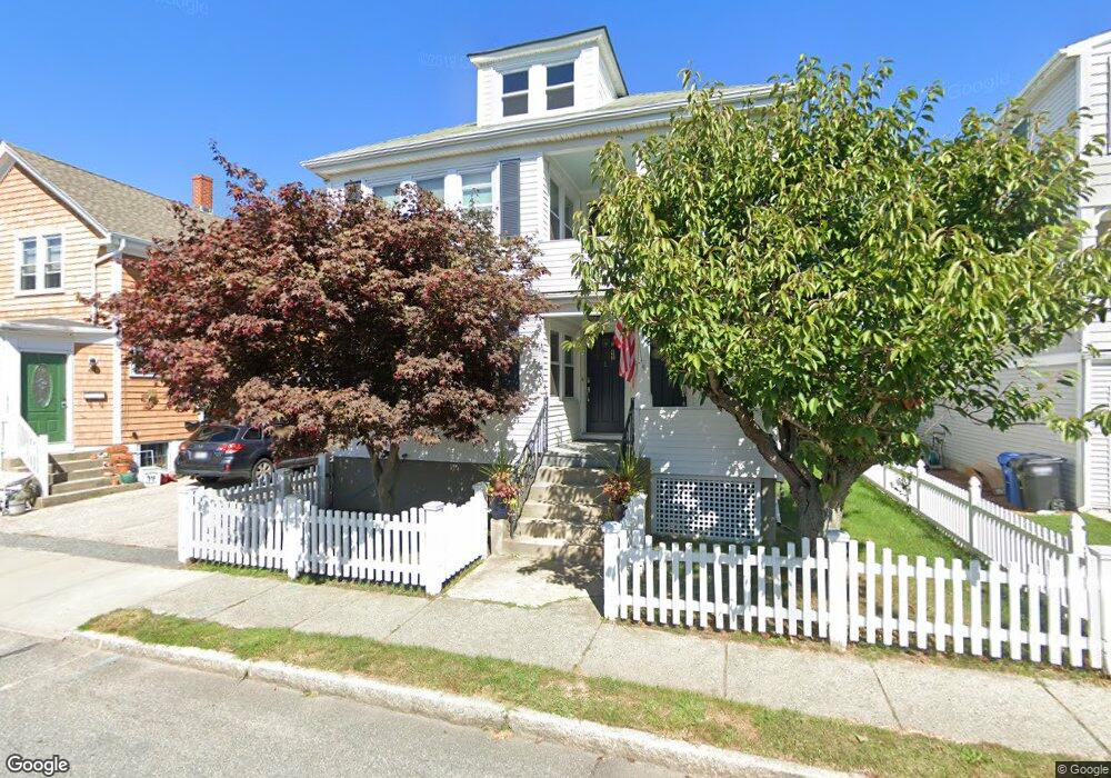
39 Thurston Ave Newport, RI 02840
North End Residential NeighborhoodEstimated Value: $911,006 - $1,366,000
4
Beds
3
Baths
2,812
Sq Ft
$381/Sq Ft
Est. Value
About This Home
This home is located at 39 Thurston Ave, Newport, RI 02840 and is currently estimated at $1,070,502, approximately $380 per square foot. 39 Thurston Ave is a home located in Newport County with nearby schools including Rogers High School, St Michael's Country Day School, and All Saints STEAM Academy.
Ownership History
Date
Name
Owned For
Owner Type
Purchase Details
Closed on
Nov 4, 2015
Sold by
Janaros Peter and Fowler Tina J
Bought by
Melville Conor and Blas Tiffany
Current Estimated Value
Home Financials for this Owner
Home Financials are based on the most recent Mortgage that was taken out on this home.
Original Mortgage
$232,500
Outstanding Balance
$183,430
Interest Rate
3.88%
Mortgage Type
New Conventional
Estimated Equity
$887,072
Create a Home Valuation Report for This Property
The Home Valuation Report is an in-depth analysis detailing your home's value as well as a comparison with similar homes in the area
Home Values in the Area
Average Home Value in this Area
Purchase History
| Date | Buyer | Sale Price | Title Company |
|---|---|---|---|
| Melville Conor | $174,375 | -- | |
| Melville Conor | $58,125 | -- |
Source: Public Records
Mortgage History
| Date | Status | Borrower | Loan Amount |
|---|---|---|---|
| Open | Melville Conor | $232,500 |
Source: Public Records
Tax History Compared to Growth
Tax History
| Year | Tax Paid | Tax Assessment Tax Assessment Total Assessment is a certain percentage of the fair market value that is determined by local assessors to be the total taxable value of land and additions on the property. | Land | Improvement |
|---|---|---|---|---|
| 2025 | $4,822 | $671,600 | $219,000 | $452,600 |
| 2024 | $4,681 | $671,600 | $219,000 | $452,600 |
| 2023 | $4,343 | $437,800 | $154,800 | $283,000 |
| 2022 | $4,207 | $437,800 | $154,800 | $283,000 |
| 2021 | $4,085 | $437,800 | $154,800 | $283,000 |
| 2020 | $3,917 | $381,000 | $129,900 | $251,100 |
| 2019 | $3,917 | $381,000 | $129,900 | $251,100 |
| 2018 | $3,806 | $381,000 | $129,900 | $251,100 |
| 2017 | $3,313 | $295,500 | $75,900 | $219,600 |
| 2016 | $3,230 | $295,500 | $75,900 | $219,600 |
| 2015 | $3,153 | $295,500 | $75,900 | $219,600 |
| 2014 | $3,370 | $279,400 | $67,900 | $211,500 |
Source: Public Records
Map
Nearby Homes
- 5 Elliot Place
- 155 Evarts St
- 1 Arnold Ave
- 19 Princeton St Unit 21
- 7 Sheffield Ave
- 117 W Main Rd
- 149 W Main Rd
- 125 Van Zandt Ave Unit 307
- 1 Shangri-La Ln
- 66 Girard Ave Unit 401
- 26 Prescott Hall Rd
- 4 Newport Ave Unit B2
- 3 Vicksburg Place
- 67 Linden St
- 53 Warner St
- 17 Lincoln St
- 44 Warner St
- 138 Green End Ave
- 5 Bowser Ct
- 114 Maple Ave
- 39 Thurston Ave Unit 2
- 41 Thurston Ave
- 40 Thurston Ave
- 43 Thurston Ave
- 37 Thurston Ave
- 37 1/2 Thurston Ave
- 38 Thurston Ave
- 35 Thurston Ave
- 35 Thurston Ave Unit 1
- 37 Bedlow Ave
- 42 Thurston Ave
- 44 Thurston Ave
- 35 Bedlow Ave
- 5 Burdick Ave
- 7 Burdick Ave
- 33 Bedlow Ave
- 30 Smith Ave
- 36 Thurston Ave
- 0 Burdick Ave
- 41 Bedlow Ave