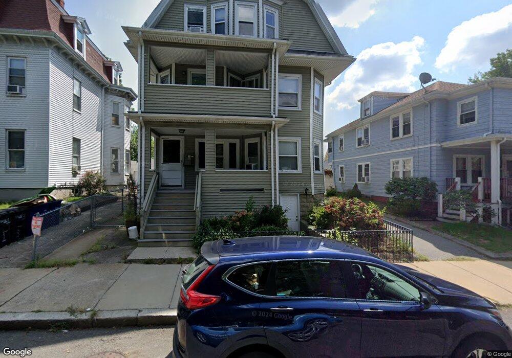
39 Thurston St Somerville, MA 02145
Winter Hill NeighborhoodEstimated Value: $1,317,000 - $1,991,954
2
Beds
4
Baths
9,999
Sq Ft
$177/Sq Ft
Est. Value
About This Home
This home is located at 39 Thurston St, Somerville, MA 02145 and is currently estimated at $1,765,989, approximately $176 per square foot. 39 Thurston St is a home located in Middlesex County with nearby schools including Somerville High School and Bright Future Educare Center.
Ownership History
Date
Name
Owned For
Owner Type
Purchase Details
Closed on
Mar 18, 2021
Sold by
Mchugh Rt
Bought by
He Wei and Peng Zhaohua
Current Estimated Value
Home Financials for this Owner
Home Financials are based on the most recent Mortgage that was taken out on this home.
Original Mortgage
$1,043,000
Outstanding Balance
$939,660
Interest Rate
3%
Mortgage Type
Purchase Money Mortgage
Estimated Equity
$826,329
Create a Home Valuation Report for This Property
The Home Valuation Report is an in-depth analysis detailing your home's value as well as a comparison with similar homes in the area
Home Values in the Area
Average Home Value in this Area
Purchase History
| Date | Buyer | Sale Price | Title Company |
|---|---|---|---|
| He Wei | $1,490,000 | None Available |
Source: Public Records
Mortgage History
| Date | Status | Borrower | Loan Amount |
|---|---|---|---|
| Open | He Wei | $1,043,000 |
Source: Public Records
Tax History Compared to Growth
Tax History
| Year | Tax Paid | Tax Assessment Tax Assessment Total Assessment is a certain percentage of the fair market value that is determined by local assessors to be the total taxable value of land and additions on the property. | Land | Improvement |
|---|---|---|---|---|
| 2025 | $15,933 | $1,460,400 | $435,300 | $1,025,100 |
| 2024 | $14,905 | $1,416,800 | $435,300 | $981,500 |
| 2023 | $14,556 | $1,407,700 | $435,300 | $972,400 |
| 2022 | $13,940 | $1,369,400 | $414,500 | $954,900 |
| 2021 | $12,332 | $1,210,200 | $394,800 | $815,400 |
| 2020 | $11,518 | $1,141,500 | $379,600 | $761,900 |
| 2019 | $10,558 | $981,200 | $322,200 | $659,000 |
| 2018 | $9,805 | $866,900 | $310,800 | $556,100 |
| 2017 | $9,681 | $829,600 | $289,900 | $539,700 |
| 2016 | $9,501 | $758,300 | $250,600 | $507,700 |
| 2015 | $9,064 | $718,800 | $223,500 | $495,300 |
Source: Public Records
Map
Nearby Homes
- 31 Thurston St Unit 6
- 71 Thurston St
- 185 School St
- 7 Stickney Ave
- 59 Dartmouth St Unit A
- 115 Thurston St Unit I
- 115 Thurston St Unit B
- 10 Mortimer Place
- 176-182 Broadway
- 25 Browning Rd
- 400 Possum Run
- 105 Central St
- 115 Highland Ave Unit 21
- 456 Medford St Unit 3
- 7 Bond St
- 390 Broadway Unit 24
- 15 Albion St
- 19 Fenwick St Unit 4
- 124 Highland Ave Unit 204
- 124 Highland Ave Unit 404
- 39 Thurston St
- 39 Thurston St Unit 3
- 39 Thurston St Unit 1
- 39 Thurston St Unit 2
- 43 Thurston St
- 35 Thurston St Unit 3
- 33 Thurston St
- 45 Thurston St
- 45 Thurston St
- 31 Thurston St Unit 5
- 31 Thurston St Unit 4
- 31 Thurston St Unit 2
- 31 Thurston St Unit 1
- 31 Thurston St Unit 31 Thurston
- 31 Thurston St Unit 2,31
- 31 Thurston St Unit 3,3
- 31 Thurston St
- 20A Dartmouth St Unit 20A
- 20A Dartmouth St Unit A
- 20 Dartmouth St Unit 20