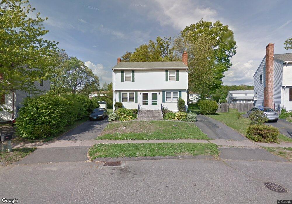
39 Timothy Rd Unit 41 East Hartford, CT 06108
Estimated Value: $324,000 - $371,000
4
Beds
4
Baths
1,952
Sq Ft
$176/Sq Ft
Est. Value
About This Home
This home is located at 39 Timothy Rd Unit 41, East Hartford, CT 06108 and is currently estimated at $343,070, approximately $175 per square foot. 39 Timothy Rd Unit 41 is a home located in Hartford County with nearby schools including Robert J. O'Brien School, East Hartford Middle School, and East Hartford High School.
Ownership History
Date
Name
Owned For
Owner Type
Purchase Details
Closed on
Jan 29, 2002
Sold by
Kelliher Marjorie H and Wiener Aleta M
Bought by
Morgan Errol A
Current Estimated Value
Home Financials for this Owner
Home Financials are based on the most recent Mortgage that was taken out on this home.
Original Mortgage
$118,750
Interest Rate
7.08%
Create a Home Valuation Report for This Property
The Home Valuation Report is an in-depth analysis detailing your home's value as well as a comparison with similar homes in the area
Home Values in the Area
Average Home Value in this Area
Purchase History
| Date | Buyer | Sale Price | Title Company |
|---|---|---|---|
| Morgan Errol A | $125,000 | -- |
Source: Public Records
Mortgage History
| Date | Status | Borrower | Loan Amount |
|---|---|---|---|
| Open | Morgan Errol A | $138,750 | |
| Closed | Morgan Errol A | $104,600 | |
| Closed | Morgan Errol A | $120,500 | |
| Closed | Morgan Errol A | $118,750 |
Source: Public Records
Tax History Compared to Growth
Tax History
| Year | Tax Paid | Tax Assessment Tax Assessment Total Assessment is a certain percentage of the fair market value that is determined by local assessors to be the total taxable value of land and additions on the property. | Land | Improvement |
|---|---|---|---|---|
| 2025 | $7,349 | $160,110 | $28,600 | $131,510 |
| 2024 | $7,045 | $160,110 | $28,600 | $131,510 |
| 2023 | $6,811 | $160,110 | $28,600 | $131,510 |
| 2022 | $6,565 | $160,110 | $28,600 | $131,510 |
| 2021 | $6,233 | $126,310 | $26,660 | $99,650 |
| 2020 | $6,305 | $126,310 | $26,660 | $99,650 |
| 2019 | $6,203 | $126,310 | $26,660 | $99,650 |
| 2018 | $6,020 | $126,310 | $26,660 | $99,650 |
| 2017 | $5,943 | $126,310 | $26,660 | $99,650 |
| 2016 | $5,929 | $129,290 | $26,660 | $102,630 |
| 2015 | $5,929 | $129,290 | $26,660 | $102,630 |
| 2014 | $5,870 | $129,290 | $26,660 | $102,630 |
Source: Public Records
Map
Nearby Homes
- 89 Henderson Dr
- 22 Matthew Rd
- 67 Laurel St
- 15 Michael Ave
- 29 Joanne Dr Unit 29
- 110 Goodwin St
- 51 Daniel St
- 39 Tiffany Rd
- 421 Tolland St
- 421 Tolland St Unit 209
- 345 Goodwin St
- 506 Burnside Ave
- 453 Burnside Ave
- 509 Burnside Ave Unit A18
- 50 Northbrook Ct
- 577 Goodwin St
- 51 Wood Dr
- 11 Westbrook St
- 59 Laraia Ave
- 265 Burnside Ave
- 43 Timothy Rd Unit 45
- 49 Timothy Rd Unit 51
- 33 Timothy Rd Unit 35
- 42 Timothy Rd Unit 44
- 50 Timothy Rd Unit 52
- 137 Henderson Dr
- 32 Timothy Rd Unit 34
- 155 Henderson Dr
- 25 Timothy Rd Unit 27
- 131 Henderson Dr
- 147 Henderson Dr
- 24 Timothy Rd Unit 26
- 61 Amy Dr
- 61 Timothy Rd Unit 63
- 67 Timothy Rd Unit 69
- 61 Amy Dr Unit 63
- 28 Timothy Rd Unit 30
- 71 Timothy Rd Unit 73
- 49 49 Amy Dr
- 161 Henderson Dr