39 Townsend Rd Shirley, MA 01464
Estimated Value: $442,000 - $582,000
4
Beds
1
Bath
1,713
Sq Ft
$286/Sq Ft
Est. Value
About This Home
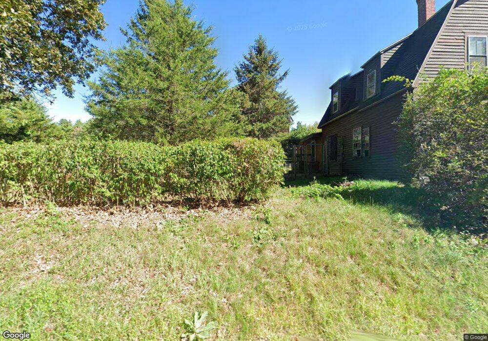
This home is located at 39 Townsend Rd, Shirley, MA 01464 and is currently estimated at $489,965, approximately $286 per square foot. 39 Townsend Rd is a home located in Middlesex County with nearby schools including Page Hilltop School, Lura A. White Elementary School, and Ayer Shirley Regional Middle School.
Ownership History
Date
Name
Owned For
Owner Type
Purchase Details
Closed on
Feb 20, 1976
Bought by
Saball Joseph Anson and Saball Linda L
Current Estimated Value
Create a Home Valuation Report for This Property
The Home Valuation Report is an in-depth analysis detailing your home's value as well as a comparison with similar homes in the area
Home Values in the Area
Average Home Value in this Area
Purchase History
| Date | Buyer | Sale Price | Title Company |
|---|---|---|---|
| Saball Joseph Anson | -- | -- |
Source: Public Records
Mortgage History
| Date | Status | Borrower | Loan Amount |
|---|---|---|---|
| Open | Saball Joseph Anson | $165,000 | |
| Closed | Saball Joseph Anson | $20,000 | |
| Closed | Saball Joseph Anson | $90,000 |
Source: Public Records
Tax History Compared to Growth
Tax History
| Year | Tax Paid | Tax Assessment Tax Assessment Total Assessment is a certain percentage of the fair market value that is determined by local assessors to be the total taxable value of land and additions on the property. | Land | Improvement |
|---|---|---|---|---|
| 2025 | $50 | $386,200 | $144,600 | $241,600 |
| 2024 | $4,885 | $360,000 | $132,200 | $227,800 |
| 2023 | $4,709 | $332,100 | $132,200 | $199,900 |
| 2022 | $4,618 | $298,300 | $128,200 | $170,100 |
| 2021 | $4,519 | $273,400 | $116,200 | $157,200 |
| 2020 | $4,361 | $270,700 | $116,200 | $154,500 |
| 2019 | $13,101 | $259,900 | $116,200 | $143,700 |
| 2018 | $3,967 | $241,600 | $111,400 | $130,200 |
| 2017 | $3,760 | $227,600 | $108,200 | $119,400 |
| 2016 | $3,690 | $223,500 | $108,200 | $115,300 |
| 2015 | $3,678 | $212,500 | $106,600 | $105,900 |
Source: Public Records
Map
Nearby Homes
- 22 Townsend Rd
- 10 Townsend Rd
- 43 Longley Rd
- 11 Longley Rd Unit K8
- 49 Parker Rd
- 92 Squannacook Rd
- 88 Squannacook Rd
- 65 W Main St
- 166 Elmwood Rd
- 124 Hazen Rd
- 15 Hayes Woods Ln
- Lot 10 Christian Cir
- 137 Hill Rd
- 110 Burrage St
- 116 Townsend Harbor Rd
- 21 Magnolia Ln
- 895 Flat Hill Rd
- 45 Spring St
- 43 Ambrose Way Unit 43
- 10 Ambrose Way Unit 10
- 44 Townsend Rd
- 51 Townsend Rd
- 41 Townsend Rd
- 27 Townsend Rd
- 53 Townsend Rd
- 54 Townsend Rd
- 55 Townsend Rd
- 57 Townsend Rd
- 26 Townmeeting Rd
- 118 Groton Rd
- 118 Groton Rd Unit 118
- 20 Townsend Rd
- 58 Townsend Rd
- 59 Townsend Rd
- 116 Groton Rd
- 102 Groton Rd
- 18 Townsend Rd
- 1 Garrison Rd
- 60 Townsend Rd
- 106 Groton Rd