39 Upper Mast Landing Rd Freeport, ME 04032
Estimated Value: $561,824 - $639,000
--
Bed
--
Bath
--
Sq Ft
--
Built
About This Home
This home is located at 39 Upper Mast Landing Rd, Freeport, ME 04032 and is currently estimated at $597,206. 39 Upper Mast Landing Rd is a home with nearby schools including Morse Street School, Mast Landing School, and Freeport Middle School.
Create a Home Valuation Report for This Property
The Home Valuation Report is an in-depth analysis detailing your home's value as well as a comparison with similar homes in the area
Home Values in the Area
Average Home Value in this Area
Tax History
| Year | Tax Paid | Tax Assessment Tax Assessment Total Assessment is a certain percentage of the fair market value that is determined by local assessors to be the total taxable value of land and additions on the property. | Land | Improvement |
|---|---|---|---|---|
| 2025 | $8,262 | $596,500 | $175,500 | $421,000 |
| 2024 | $5,328 | $399,100 | $167,200 | $231,900 |
| 2023 | $4,810 | $349,800 | $151,900 | $197,900 |
| 2022 | $4,567 | $334,600 | $136,700 | $197,900 |
| 2021 | $4,467 | $334,600 | $136,700 | $197,900 |
| 2020 | $4,354 | $311,000 | $126,600 | $184,400 |
| 2019 | $4,166 | $291,300 | $119,400 | $171,900 |
| 2018 | $4,074 | $270,700 | $111,600 | $159,100 |
| 2017 | $3,900 | $260,900 | $109,000 | $151,900 |
| 2016 | $3,819 | $241,700 | $100,900 | $140,800 |
| 2015 | $3,728 | $221,900 | $95,600 | $126,300 |
| 2014 | $3,506 | $221,900 | $95,600 | $126,300 |
| 2013 | -- | $227,000 | $94,300 | $132,700 |
Source: Public Records
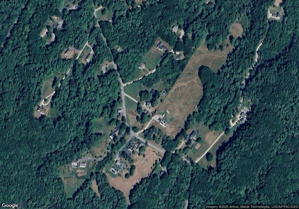
Map
Nearby Homes
- 30 Meadow Ln Unit 8
- 1260 Us Route 1
- 10 Prout Rd
- 42 Durham Rd
- 10 Durham Rd
- 1 Wardtown Rd
- 60 Pleasant Hill Rd
- 0 Prout Rd
- 8 Statler Ln
- 15 Linwood Rd Unit 15
- 52 Birch Point Rd
- 2 Renee Rd
- 108 Baker Rd
- 29 S Freeport Rd
- 304 Pownal Rd
- 64 Wardtown Rd
- 26 Harvest Ridge Rd Unit 24
- 321 Pownal Rd
- 42A Wardtown Rd
- 4 Harper's Trail
- 36 Upper Mast Landing Rd
- 40 Upper Mast Landing Rd
- 49 Upper Mast Landing Rd
- 49 Upper Mast Landing Rd
- 3 Hidden Oaks Dr
- 13 Upper Mast Landing Rd
- 2 Orchard Hill Rd
- 50 Upper Mast Landing Rd
- 37 Hidden Oaks Dr
- 31 Upper Mast Landing Rd
- 36 Hidden Oaks Dr
- 10 Wind River Dr
- 55 Upper Mast Landing Rd
- 48 Upper Mast Landing Rd
- 11 Omer Rd
- 4 Omer Rd
- 22 Omer Rd
- 54 Upper Mast Landing Rd
- 25 Upper Mast Landing Rd
- 14 Omer Rd
Your Personal Tour Guide
Ask me questions while you tour the home.