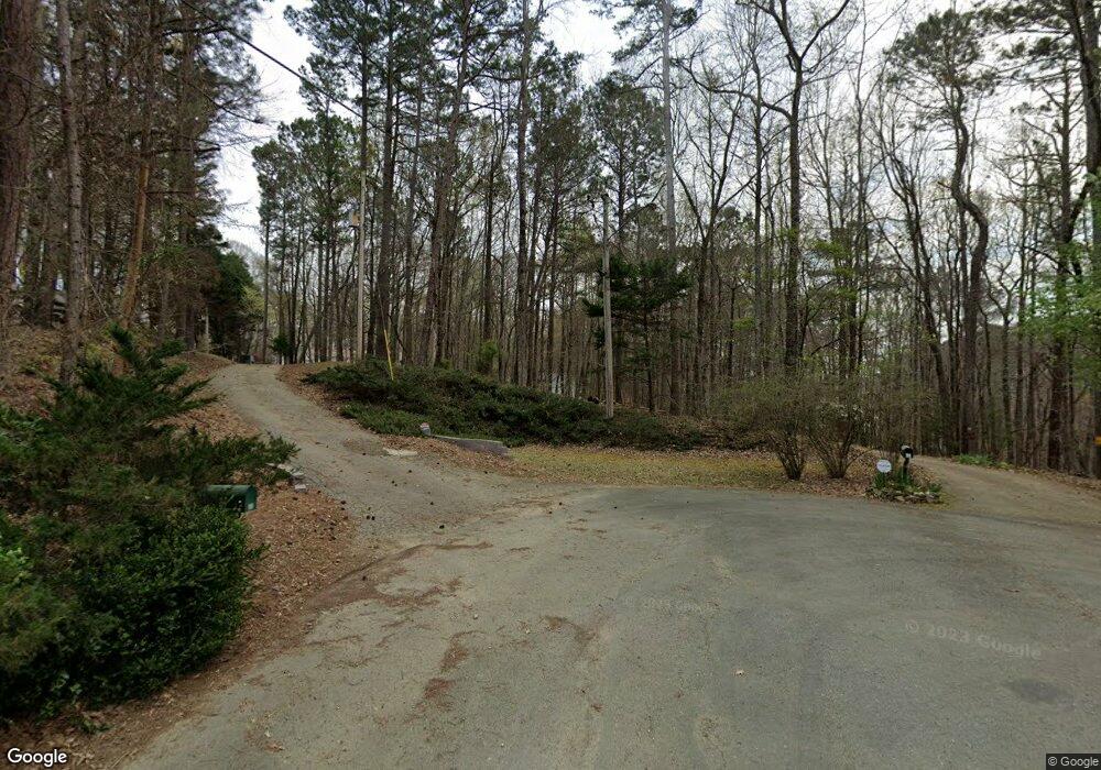
39 Village Point Dr Lagrange, GA 30240
Estimated Value: $322,000 - $542,000
3
Beds
2
Baths
1,596
Sq Ft
$276/Sq Ft
Est. Value
About This Home
This home is located at 39 Village Point Dr, Lagrange, GA 30240 and is currently estimated at $440,092, approximately $275 per square foot. 39 Village Point Dr is a home located in Troup County with nearby schools including Hillcrest Elementary School, Franklin Forest Elementary School, and Hollis Hand Elementary School.
Ownership History
Date
Name
Owned For
Owner Type
Purchase Details
Closed on
Oct 16, 2020
Sold by
Jett John H
Bought by
Merriman Robin J and Merriman Leslie L
Current Estimated Value
Home Financials for this Owner
Home Financials are based on the most recent Mortgage that was taken out on this home.
Original Mortgage
$178,750
Outstanding Balance
$157,763
Interest Rate
2.8%
Mortgage Type
New Conventional
Estimated Equity
$282,329
Purchase Details
Closed on
Jun 23, 2017
Sold by
Walton Patricia A
Bought by
Jett John H and Jett Sally F
Purchase Details
Closed on
Aug 3, 2005
Sold by
Walton John S
Bought by
Walton Patricia A
Purchase Details
Closed on
Apr 18, 2000
Sold by
Brand Richard
Bought by
John S Walton
Purchase Details
Closed on
Feb 12, 1997
Sold by
Wm Oneil
Bought by
Brand Richard
Purchase Details
Closed on
Mar 22, 1979
Sold by
Broadwater Dev
Bought by
Wm Oneil
Create a Home Valuation Report for This Property
The Home Valuation Report is an in-depth analysis detailing your home's value as well as a comparison with similar homes in the area
Home Values in the Area
Average Home Value in this Area
Purchase History
| Date | Buyer | Sale Price | Title Company |
|---|---|---|---|
| Merriman Robin J | $325,000 | -- | |
| Jett John H | $250,000 | -- | |
| Walton Patricia A | -- | -- | |
| John S Walton | $175,000 | -- | |
| Brand Richard | $32,000 | -- | |
| Wm Oneil | -- | -- |
Source: Public Records
Mortgage History
| Date | Status | Borrower | Loan Amount |
|---|---|---|---|
| Open | Merriman Robin J | $178,750 |
Source: Public Records
Tax History Compared to Growth
Tax History
| Year | Tax Paid | Tax Assessment Tax Assessment Total Assessment is a certain percentage of the fair market value that is determined by local assessors to be the total taxable value of land and additions on the property. | Land | Improvement |
|---|---|---|---|---|
| 2024 | $2,945 | $108,000 | $30,000 | $78,000 |
| 2023 | $2,946 | $108,020 | $30,000 | $78,020 |
| 2022 | $2,905 | $104,100 | $30,000 | $74,100 |
| 2021 | $3,008 | $99,720 | $30,000 | $69,720 |
| 2020 | $2,646 | $89,720 | $20,000 | $69,720 |
| 2019 | $2,618 | $88,800 | $20,000 | $68,800 |
| 2018 | $2,558 | $84,800 | $16,000 | $68,800 |
| 2017 | $1,634 | $61,920 | $16,000 | $45,920 |
Source: Public Records
Map
Nearby Homes
- 183 Indian Bend Dr
- 155 Indian Bend Dr
- 133 Indian Bend Dr
- 65 Indian Bend Dr
- 0 River Club Dr Unit 10311961
- 224 Riverbend Dr
- 4555 Mooty Bridge Rd
- 151 Hubbard Rd
- 57 Hubbard Rd
- 116 Firefly Run
- 110 Firefly Run
- 147 Wolf Creek Cove
- 115 Wolf Creek Cove
- 96 Firefly Run
- 105 Wolf Creek Cove
- 50 Fish Camp
- 144 Wolf Creek Cove
- 40 Wolf Creek Cove
- 100 Wolf Creek Cove
- 56 Firefly Run
- 33 Village Point Dr
- 27 Village Point Dr
- 67 Indian Bend Trail
- 57 Indian Bend Trail
- 21 E Indian Bluff Dr
- 137 Indian Bend Trail
- 45 Indian Bend Trail
- 105 Indian Bend Trail
- 0 Village Point Dr Unit 7223247
- 0 Village Point Dr Unit 7132962
- 0 Village Point Dr Unit 3263411
- 0 Village Point Dr Unit 8852967
- 0 Village Pt Dr Unit 9035028
- 0 Village Pt Dr Unit 8470341
- 0 Village Pt Dr Unit 8688761
- 0 Village Pt Dr Unit 8817283
- 0 Village Pt Dr Unit 8883318
- 00 Village Point Dr
- 143 Indian Bend Trail
- 155 Indian Bend Trail
