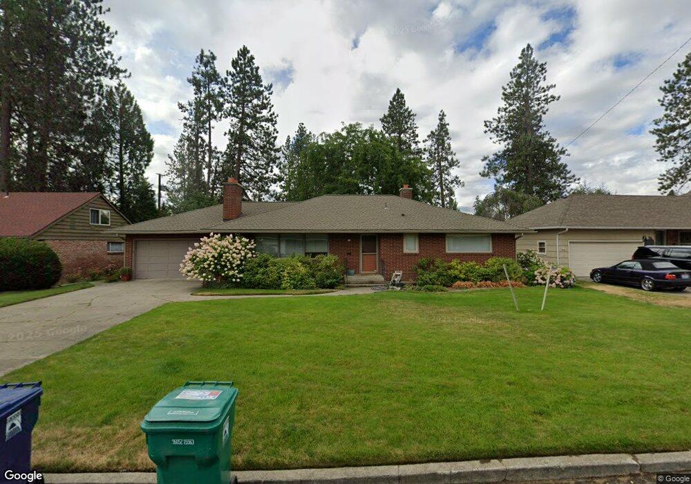
39 W 39th Ave Spokane, WA 99203
Comstock NeighborhoodEstimated Value: $534,595 - $633,000
4
Beds
3
Baths
3,190
Sq Ft
$189/Sq Ft
Est. Value
About This Home
This home is located at 39 W 39th Ave, Spokane, WA 99203 and is currently estimated at $601,649, approximately $188 per square foot. 39 W 39th Ave is a home located in Spokane County with nearby schools including Jefferson Elementary School, Sacajawea Middle School, and Lewis & Clark High School.
Ownership History
Date
Name
Owned For
Owner Type
Purchase Details
Closed on
Sep 18, 2006
Sold by
Valandra David L and Valandra Karen M
Bought by
Wynia Dan E and Wynia Nancy A
Current Estimated Value
Purchase Details
Closed on
Jul 26, 2001
Sold by
Beardslee Raymond W and Beardslee Lita H
Bought by
Valandra David L and Valandra Karen M
Home Financials for this Owner
Home Financials are based on the most recent Mortgage that was taken out on this home.
Original Mortgage
$110,000
Interest Rate
7.1%
Create a Home Valuation Report for This Property
The Home Valuation Report is an in-depth analysis detailing your home's value as well as a comparison with similar homes in the area
Home Values in the Area
Average Home Value in this Area
Purchase History
| Date | Buyer | Sale Price | Title Company |
|---|---|---|---|
| Wynia Dan E | $295,000 | Pacific Nw Title | |
| Valandra David L | $150,000 | Pacific Nw Title |
Source: Public Records
Mortgage History
| Date | Status | Borrower | Loan Amount |
|---|---|---|---|
| Previous Owner | Valandra David L | $110,000 |
Source: Public Records
Tax History Compared to Growth
Tax History
| Year | Tax Paid | Tax Assessment Tax Assessment Total Assessment is a certain percentage of the fair market value that is determined by local assessors to be the total taxable value of land and additions on the property. | Land | Improvement |
|---|---|---|---|---|
| 2025 | $4,690 | $492,600 | $125,000 | $367,600 |
| 2024 | $4,690 | $472,900 | $100,000 | $372,900 |
| 2023 | $4,956 | $476,200 | $90,000 | $386,200 |
| 2022 | $4,550 | $507,100 | $81,000 | $426,100 |
| 2021 | $4,062 | $341,700 | $64,800 | $276,900 |
| 2020 | $4,039 | $327,300 | $64,800 | $262,500 |
| 2019 | $3,705 | $310,100 | $54,000 | $256,100 |
| 2018 | $3,993 | $287,200 | $50,000 | $237,200 |
| 2017 | $3,465 | $253,700 | $45,000 | $208,700 |
| 2016 | $3,436 | $246,200 | $45,000 | $201,200 |
| 2015 | $3,294 | $230,900 | $45,000 | $185,900 |
| 2014 | -- | $233,200 | $47,300 | $185,900 |
| 2013 | -- | $0 | $0 | $0 |
Source: Public Records
Map
Nearby Homes
- 17 W 31st Ave
- 3419 S Saxon Ct
- 3121 S Manito Blvd
- 504 E 41st Ave
- 3534 S Grand Blvd
- 3334 S Manito Blvd
- 3338 S Manito Blvd
- 3022 S Manito Blvd
- 3018 S Manito Blvd
- 19 W 29th Ave
- 3433 S High Dr
- 3415 S Grand Blvd
- 106 E 29th Ave
- 2923 S Manito Blvd
- 403 W 29th Ave Unit 403
- 803 E 39th Ave
- 807 E 40th Ave
- 208 W 28th Ave
- 704 E High Dr
- 904 E 40th Ave