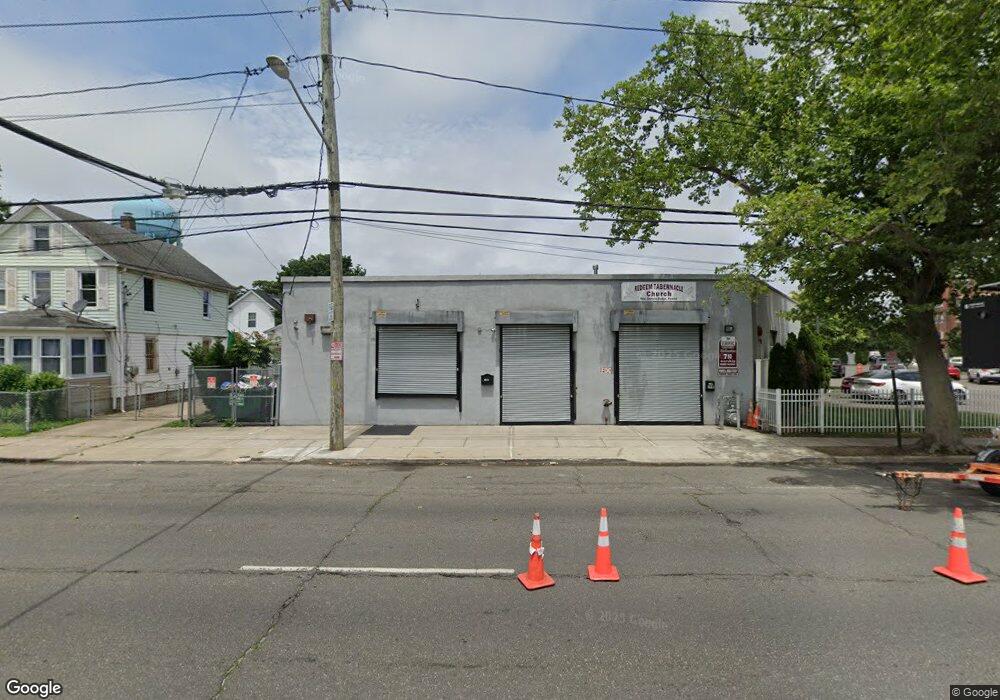
39 W Graham Ave Hempstead, NY 11550
Estimated Value: $721,968
--
Bed
--
Bath
7,170
Sq Ft
$101/Sq Ft
Est. Value
About This Home
This home is located at 39 W Graham Ave, Hempstead, NY 11550 and is currently estimated at $721,968, approximately $100 per square foot. 39 W Graham Ave is a home located in Nassau County with nearby schools including Evergreen Charter School, The Academy Charter School, and Crescent School.
Ownership History
Date
Name
Owned For
Owner Type
Purchase Details
Closed on
Apr 1, 2021
Sold by
39 West Graham Llc
Bought by
Glendale 68 St Llc
Current Estimated Value
Purchase Details
Closed on
Sep 23, 2016
Sold by
Tarik Holding Corp
Bought by
39 West Graham Llc
Purchase Details
Closed on
Feb 15, 2016
Sold by
Classical Chinese Cuisines Inc
Bought by
Tarik Holding Corp
Purchase Details
Closed on
Apr 1, 1998
Sold by
Ackelsberg Marc B
Bought by
Classical Chinese Cuisine S I
Create a Home Valuation Report for This Property
The Home Valuation Report is an in-depth analysis detailing your home's value as well as a comparison with similar homes in the area
Home Values in the Area
Average Home Value in this Area
Purchase History
| Date | Buyer | Sale Price | Title Company |
|---|---|---|---|
| Glendale 68 St Llc | $515,000 | Amtrust Title | |
| 39 West Graham Llc | $310,000 | Judicial Title | |
| Tarik Holding Corp | $100,000 | Westcor Land Title Insurance | |
| Classical Chinese Cuisine S I | $185,000 | -- |
Source: Public Records
Tax History Compared to Growth
Tax History
| Year | Tax Paid | Tax Assessment Tax Assessment Total Assessment is a certain percentage of the fair market value that is determined by local assessors to be the total taxable value of land and additions on the property. | Land | Improvement |
|---|---|---|---|---|
| 2025 | $22,578 | $4,639 | $1,198 | $3,441 |
| 2024 | $2,751 | $4,403 | $1,137 | $3,266 |
| 2023 | $20,438 | $4,990 | $1,198 | $3,792 |
| 2022 | $20,438 | $4,990 | $1,198 | $3,792 |
| 2021 | $17,470 | $4,844 | $1,198 | $3,646 |
| 2020 | $15,843 | $2,124 | $878 | $1,246 |
| 2019 | $2,666 | $2,124 | $599 | $1,525 |
| 2018 | $13,212 | $2,124 | $0 | $0 |
| 2017 | $20,457 | $3,111 | $878 | $2,233 |
| 2016 | $23,617 | $3,111 | $878 | $2,233 |
| 2015 | $2,753 | $3,111 | $878 | $2,233 |
| 2014 | $2,753 | $3,111 | $878 | $2,233 |
| 2013 | $2,522 | $3,111 | $878 | $2,233 |
Source: Public Records
Map
Nearby Homes
- 33 Linden Ave
- 10 Linden Ave
- 22 Hudson Place
- 86 Linden Ave
- 196 S Franklin St
- 36 Monroe Place
- 23 Peters Ave
- 49 Marvin Ave
- 16 Garfield Place
- 25 Maple Ave
- 34 Oakland St
- 29 Sterling Place
- 42 Peters Ave
- 142 S Franklin St
- 89 Elizabeth Ave
- 7 Seabury St
- 23 Circle Dr
- 41 Eldridge Ave
- 15 Koeppel Place
- 193 W Graham Ave
- 39 W Graham Ave
- 43 W Graham Ave
- 45 W Graham Ave
- 47 W Graham Ave
- 34 Linden Ave
- 38 Linden Ave Unit 40
- 38 Linden Ave
- 55 W Graham Ave
- 132 Laurel Ave
- 18 Linden Ave
- 261 S Franklin St Unit 2Br
- 14 Linden Ave
- 37 Linden Ave
- 43 Linden Ave
- 59 W Graham Ave
- 39 Linden Ave
- 36 Linden Ave
- 43 Linden Ave
- 8 Linden Ave
- 45 Linden Ave