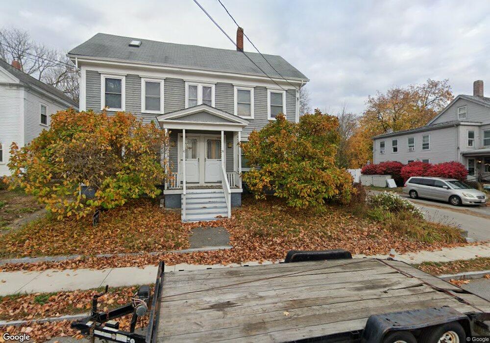
39 W Main St Unit 41 Merrimac, MA 01860
Estimated Value: $745,802 - $849,000
6
Beds
3
Baths
3,454
Sq Ft
$225/Sq Ft
Est. Value
About This Home
This home is located at 39 W Main St Unit 41, Merrimac, MA 01860 and is currently estimated at $777,951, approximately $225 per square foot. 39 W Main St Unit 41 is a home located in Essex County with nearby schools including Pentucket Regional High School.
Ownership History
Date
Name
Owned For
Owner Type
Purchase Details
Closed on
Mar 11, 2014
Sold by
Teague Kevin C and Teague Deborah
Bought by
Teague Kevin C and Teague Deborah T
Current Estimated Value
Home Financials for this Owner
Home Financials are based on the most recent Mortgage that was taken out on this home.
Original Mortgage
$238,500
Outstanding Balance
$181,117
Interest Rate
4.39%
Mortgage Type
New Conventional
Estimated Equity
$596,834
Purchase Details
Closed on
Apr 16, 1999
Sold by
Drescher Rt and Drescher
Bought by
Teague Kevin C and Teague Deborah
Home Financials for this Owner
Home Financials are based on the most recent Mortgage that was taken out on this home.
Original Mortgage
$194,900
Interest Rate
7.04%
Mortgage Type
Purchase Money Mortgage
Purchase Details
Closed on
Sep 2, 1988
Sold by
Whiting Gladys M
Bought by
Drescher Walter B
Create a Home Valuation Report for This Property
The Home Valuation Report is an in-depth analysis detailing your home's value as well as a comparison with similar homes in the area
Home Values in the Area
Average Home Value in this Area
Purchase History
| Date | Buyer | Sale Price | Title Company |
|---|---|---|---|
| Teague Kevin C | -- | -- | |
| Teague Kevin C | $195,000 | -- | |
| Drescher Walter B | $174,750 | -- |
Source: Public Records
Mortgage History
| Date | Status | Borrower | Loan Amount |
|---|---|---|---|
| Open | Teague Kevin C | $238,500 | |
| Previous Owner | Drescher Walter B | $216,750 | |
| Previous Owner | Drescher Walter B | $194,900 |
Source: Public Records
Tax History Compared to Growth
Tax History
| Year | Tax Paid | Tax Assessment Tax Assessment Total Assessment is a certain percentage of the fair market value that is determined by local assessors to be the total taxable value of land and additions on the property. | Land | Improvement |
|---|---|---|---|---|
| 2025 | $8,587 | $648,100 | $296,200 | $351,900 |
| 2024 | $7,623 | $564,700 | $279,800 | $284,900 |
| 2023 | $7,708 | $521,900 | $237,000 | $284,900 |
| 2022 | $7,147 | $437,400 | $190,900 | $246,500 |
| 2021 | $6,986 | $428,600 | $174,500 | $254,100 |
| 2020 | $6,378 | $428,600 | $174,500 | $254,100 |
| 2019 | $6,292 | $398,000 | $151,400 | $246,600 |
| 2018 | $6,198 | $393,300 | $141,500 | $251,800 |
| 2017 | $6,051 | $370,300 | $118,500 | $251,800 |
| 2016 | $5,984 | $370,300 | $118,500 | $251,800 |
| 2015 | $5,725 | $352,300 | $118,500 | $233,800 |
| 2014 | $5,476 | $344,600 | $118,500 | $226,100 |
Source: Public Records
Map
Nearby Homes