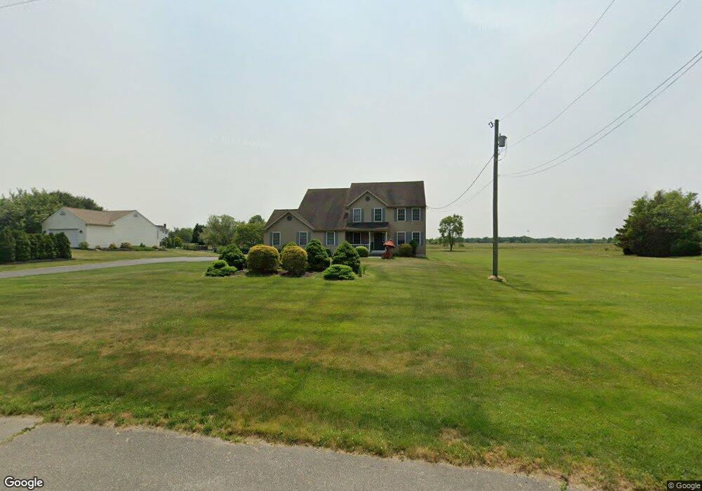
39 W Wolfert Station Rd Mickleton, NJ 08056
Estimated Value: $618,000 - $681,000
Studio
--
Bath
2,522
Sq Ft
$256/Sq Ft
Est. Value
About This Home
This home is located at 39 W Wolfert Station Rd, Mickleton, NJ 08056 and is currently estimated at $644,557, approximately $255 per square foot. 39 W Wolfert Station Rd is a home located in Gloucester County with nearby schools including Jeffrey Clark School, Samuel Mickle School, and Kingsway Regional Middle School.
Ownership History
Date
Name
Owned For
Owner Type
Purchase Details
Closed on
Dec 9, 2005
Sold by
Harris Leroy L and Harris Barbara A
Bought by
Gould Carliss and Gould Wallena
Current Estimated Value
Purchase Details
Closed on
Nov 11, 1998
Sold by
Zeck Ronald E
Bought by
Harris Leroy L and Harris Barbara A
Create a Home Valuation Report for This Property
The Home Valuation Report is an in-depth analysis detailing your home's value as well as a comparison with similar homes in the area
Home Values in the Area
Average Home Value in this Area
Purchase History
| Date | Buyer | Sale Price | Title Company |
|---|---|---|---|
| Gould Carliss | $367,000 | Affiliated Title | |
| Harris Leroy L | $47,000 | Pilgrim Title Agency |
Source: Public Records
Tax History
| Year | Tax Paid | Tax Assessment Tax Assessment Total Assessment is a certain percentage of the fair market value that is determined by local assessors to be the total taxable value of land and additions on the property. | Land | Improvement |
|---|---|---|---|---|
| 2025 | $10,182 | $320,300 | $81,000 | $239,300 |
| 2024 | $9,859 | $320,300 | $81,000 | $239,300 |
Source: Public Records
Map
Nearby Homes
- 71 W Tomlin Station Rd
- 67 E Rattling Run Rd
- 0 Tomlin Station Rd Unit NJGL2061600
- 18 Millwood Dr
- 241 Gaunt Dr
- 50 Mill Rd
- 424 Country Way
- 415 Country Way
- 253 Jennings Way
- 200 David Mills Ln
- 10 & 26 Garwin Rd
- 120 Jubilee Dr
- 118 Timberlane Rd
- 209 Charles Corliss Blvd
- 355 Friendship Rd
- 6 Burton Ln
- 155 Rulon Rd
- 792 Paulsboro Rd
- 788 Paulsboro Rd
- 255 Genesee Rd
- 37 W Wolfert Station Rd
- 43 W Wolfert Station Rd
- 703 Nicole Dr
- 705 Nicole Dr
- 701 Nicole Dr
- 707 Nicole Dr
- 31 W Wolfert Station Rd
- 50 W Wolfert Station Rd
- 709 Nicole Dr
- 49 W Wolfert Station Rd
- 711 Nicole Dr
- 713 Nicole Dr
- L:13:01 W Wolfert Station Rd
- 52 W Wolfert Station Rd
- 708 Nicole Dr
- 704 Nicole Dr
- 702 Nicole Dr
- 706 Nicole Dr
- 710 Nicole Dr
- 715 Nicole Dr
Your Personal Tour Guide
Ask me questions while you tour the home.