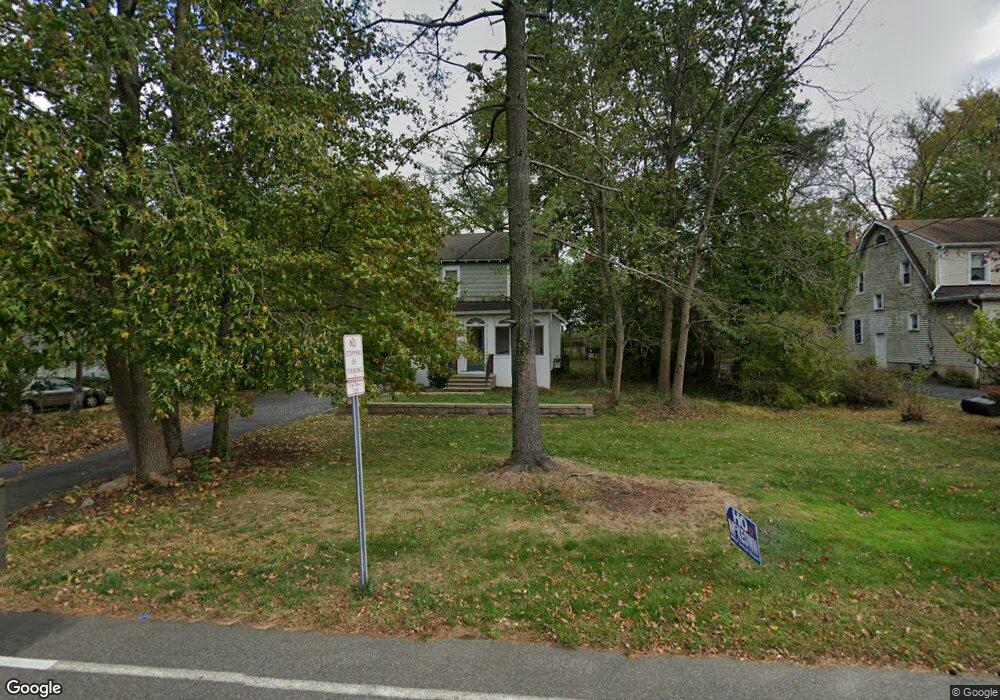
39 Wallace Rd Princeton Junction, NJ 08550
Estimated Value: $650,589 - $736,000
3
Beds
2
Baths
1,555
Sq Ft
$433/Sq Ft
Est. Value
About This Home
This home is located at 39 Wallace Rd, Princeton Junction, NJ 08550 and is currently estimated at $673,897, approximately $433 per square foot. 39 Wallace Rd is a home located in Mercer County with nearby schools including Maurice Hawk Elementary School, Village Elementary School, and Thomas R. Grover Middle School.
Ownership History
Date
Name
Owned For
Owner Type
Purchase Details
Closed on
Jan 4, 2011
Sold by
Atcheson Jean C
Bought by
Legins Keith J and Legins Sarah O
Current Estimated Value
Purchase Details
Closed on
Jun 12, 1992
Sold by
Atches Jean C
Bought by
Atcheson William Richard and Atcheson Jean C
Create a Home Valuation Report for This Property
The Home Valuation Report is an in-depth analysis detailing your home's value as well as a comparison with similar homes in the area
Home Values in the Area
Average Home Value in this Area
Purchase History
| Date | Buyer | Sale Price | Title Company |
|---|---|---|---|
| Legins Keith J | $315,000 | Chicago Title Insurance Co | |
| Atcheson William Richard | -- | -- |
Source: Public Records
Tax History
| Year | Tax Paid | Tax Assessment Tax Assessment Total Assessment is a certain percentage of the fair market value that is determined by local assessors to be the total taxable value of land and additions on the property. | Land | Improvement |
|---|---|---|---|---|
| 2025 | $9,544 | $311,400 | $198,800 | $112,600 |
| 2024 | $9,146 | $311,400 | $198,800 | $112,600 |
| 2023 | $9,146 | $311,400 | $198,800 | $112,600 |
| 2022 | $8,968 | $311,400 | $198,800 | $112,600 |
| 2021 | $8,894 | $311,400 | $198,800 | $112,600 |
| 2020 | $8,732 | $311,400 | $198,800 | $112,600 |
| 2019 | $8,632 | $311,400 | $198,800 | $112,600 |
| 2018 | $8,551 | $311,400 | $198,800 | $112,600 |
| 2017 | $8,374 | $311,400 | $198,800 | $112,600 |
| 2016 | $8,193 | $311,400 | $198,800 | $112,600 |
| 2015 | $8,003 | $311,400 | $198,800 | $112,600 |
| 2014 | $7,910 | $311,400 | $198,800 | $112,600 |
Source: Public Records
Map
Nearby Homes
- 1802 American Place
- 1803 American Place
- 1701 American Place
- 103 Harris Rd
- 3102 Justin Dr
- 1002 Justin Dr
- 1402 Justin Dr
- 1005 Justin Dr
- 2904 Justin Dr
- 1004 Justin Dr
- 3103 Justin Dr
- 2902 Justin Dr
- 1503 Justin Dr
- 19 Magpie Ln
- 7 Magpie Ln
- 708 Parker Blvd
- 47 Ketley Place
- 128 S Barrow Place
- 62 Greylynne Dr
- 3 Princeton Place
Your Personal Tour Guide
Ask me questions while you tour the home.