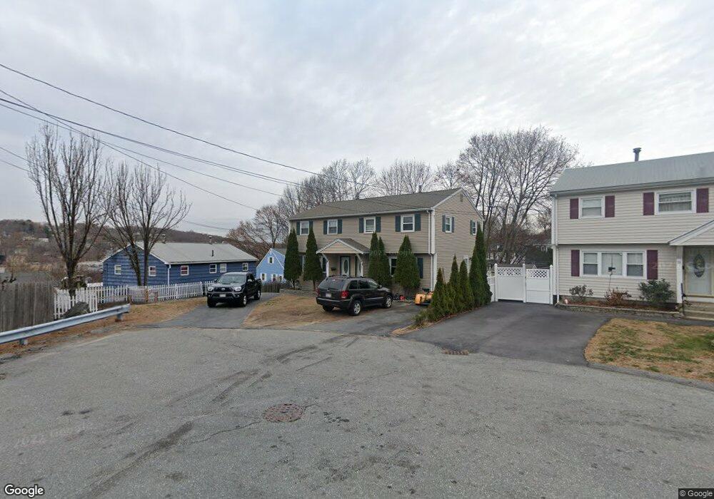
39 Wilder Rd Lowell, MA 01852
Belvidere NeighborhoodEstimated Value: $358,128 - $460,000
3
Beds
1
Bath
1,023
Sq Ft
$391/Sq Ft
Est. Value
About This Home
This home is located at 39 Wilder Rd, Lowell, MA 01852 and is currently estimated at $400,032, approximately $391 per square foot. 39 Wilder Rd is a home located in Middlesex County with nearby schools including Moody Elementary School, Abraham Lincoln Elementary School, and Greenhalge Elementary School.
Ownership History
Date
Name
Owned For
Owner Type
Purchase Details
Closed on
Jun 24, 2023
Sold by
Moreira Joao
Bought by
39 Wilder Road Rt and Moreira
Current Estimated Value
Purchase Details
Closed on
Oct 2, 2018
Sold by
Nationstar Mortgage Ll
Bought by
Federal National Mortgage Association
Purchase Details
Closed on
Sep 25, 2017
Sold by
Fnma
Bought by
Nationstar Mortgage Ll
Purchase Details
Closed on
Dec 29, 2015
Sold by
Wenckus Brian and Nationstar Mortgage Ll
Bought by
Fnma
Create a Home Valuation Report for This Property
The Home Valuation Report is an in-depth analysis detailing your home's value as well as a comparison with similar homes in the area
Home Values in the Area
Average Home Value in this Area
Purchase History
| Date | Buyer | Sale Price | Title Company |
|---|---|---|---|
| 39 Wilder Road Rt | -- | None Available | |
| Federal National Mortgage Association | -- | -- | |
| Nationstar Mortgage Ll | -- | -- | |
| Fnma | $174,146 | -- |
Source: Public Records
Tax History
| Year | Tax Paid | Tax Assessment Tax Assessment Total Assessment is a certain percentage of the fair market value that is determined by local assessors to be the total taxable value of land and additions on the property. | Land | Improvement |
|---|---|---|---|---|
| 2025 | $4,696 | $409,100 | $0 | $409,100 |
| 2024 | $4,420 | $371,100 | $0 | $371,100 |
| 2023 | $4,064 | $327,200 | $0 | $327,200 |
| 2022 | $3,854 | $303,700 | $0 | $303,700 |
| 2021 | $3,654 | $271,500 | $0 | $271,500 |
| 2020 | $3,511 | $262,800 | $0 | $262,800 |
| 2019 | $3,422 | $243,700 | $0 | $243,700 |
| 2018 | $3,164 | $225,100 | $0 | $225,100 |
| 2017 | $3,162 | $211,900 | $0 | $211,900 |
| 2016 | $3,152 | $207,900 | $0 | $207,900 |
| 2015 | $3,026 | $195,500 | $0 | $195,500 |
| 2013 | $2,991 | $199,300 | $0 | $199,300 |
Source: Public Records
Map
Nearby Homes
- 42 Pentucket Ave
- 111 Draper St
- 42 Christian St Unit Lot 17
- 164 Bradley St
- 45 Clark Rd
- 234 Nesmith St Unit 8
- 250 Nesmith St Unit 11
- Lots 1-12 Christian Hill Dev
- 81 Reservoir St
- 21 Vernon St
- 44 Hanks St
- 192 1st St
- 313 Nesmith St
- 100 Merrimack Ave Unit 25
- 16 Winding Ln
- 200 Rogers St Unit 6
- Lot 11 Christian St
- Lot 12 Christian St
- Lot 9 Christian St
- Lot 10 Christian St
- 37 Wilder Rd Unit 39
- 37 Wilder Rd
- 37 Wilder Rd Unit 37
- 31 Wilder Rd
- 651 E Merrimack St
- 659 E Merrimack St
- 641 E Merrimack St
- 34 Barasford Ave
- 639 E Merrimack St
- 27 Wilder Rd
- 25 Wilder Rd
- 48 Barasford Ave
- 34 Wilder Rd
- 34 Wilder Rd Unit 34
- 633 E Merrimack St
- 28 Barasford Ave
- 631 E Merrimack St
- 19 Wilder Rd
- 54 Barasford Ave
- 21 Wilder Rd
Your Personal Tour Guide
Ask me questions while you tour the home.