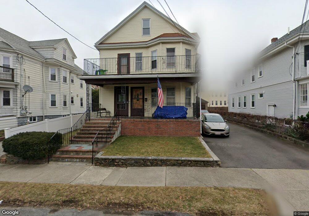
39 Windsor St Arlington, MA 02474
East Arlington NeighborhoodEstimated Value: $1,219,000 - $1,397,000
4
Beds
2
Baths
2,308
Sq Ft
$555/Sq Ft
Est. Value
About This Home
This home is located at 39 Windsor St, Arlington, MA 02474 and is currently estimated at $1,281,941, approximately $555 per square foot. 39 Windsor St is a home located in Middlesex County with nearby schools including Hardy Elementary School, Thompson School, and Ottoson Middle School.
Ownership History
Date
Name
Owned For
Owner Type
Purchase Details
Closed on
Mar 17, 2005
Sold by
Jefferson John T and Remeika Mary C
Bought by
39 Windsor St Rt and Jefferson
Current Estimated Value
Purchase Details
Closed on
Mar 29, 1988
Sold by
Vinario Claudio T
Bought by
Jefferson John T
Home Financials for this Owner
Home Financials are based on the most recent Mortgage that was taken out on this home.
Original Mortgage
$90,000
Interest Rate
9.82%
Mortgage Type
Purchase Money Mortgage
Create a Home Valuation Report for This Property
The Home Valuation Report is an in-depth analysis detailing your home's value as well as a comparison with similar homes in the area
Home Values in the Area
Average Home Value in this Area
Purchase History
| Date | Buyer | Sale Price | Title Company |
|---|---|---|---|
| 39 Windsor St Rt | -- | -- | |
| Jefferson John T | $294,000 | -- |
Source: Public Records
Mortgage History
| Date | Status | Borrower | Loan Amount |
|---|---|---|---|
| Previous Owner | Jefferson John T | $90,000 |
Source: Public Records
Tax History
| Year | Tax Paid | Tax Assessment Tax Assessment Total Assessment is a certain percentage of the fair market value that is determined by local assessors to be the total taxable value of land and additions on the property. | Land | Improvement |
|---|---|---|---|---|
| 2025 | $11,242 | $1,043,800 | $592,800 | $451,000 |
| 2024 | $10,396 | $981,700 | $564,300 | $417,400 |
| 2023 | $10,331 | $921,600 | $473,100 | $448,500 |
| 2022 | $10,284 | $900,500 | $456,000 | $444,500 |
| 2021 | $9,985 | $880,500 | $456,000 | $424,500 |
| 2020 | $9,739 | $880,600 | $456,000 | $424,600 |
| 2019 | $9,181 | $815,400 | $484,500 | $330,900 |
| 2018 | $8,301 | $684,300 | $353,400 | $330,900 |
| 2017 | $7,767 | $618,400 | $307,800 | $310,600 |
| 2016 | $7,332 | $572,800 | $262,200 | $310,600 |
| 2015 | $7,232 | $533,700 | $256,500 | $277,200 |
Source: Public Records
Map
Nearby Homes
- 4 Magnolia St
- 68 Cleveland St Unit 1
- 89 Cleveland St Unit 89
- 18 Chandler St
- 80 Broadway Unit PH
- 35 Fairmont St Unit 1
- 35 Fairmont St Unit 2
- 35 Fairmont St Unit 3
- 35 Boulevard Rd Unit 37
- 120 Broadway
- 251 Massachusetts Ave Unit 1
- 57 Farragut Ave Unit 2
- 454-460 Massachusetts Ave
- 7 Madison Ave
- 22 Madison Ave
- 3 Seagrave Rd
- 6 Hamilton Rd Unit 6
- 14 Farragut Ave Unit 1
- 34 Belknap St
- 30 Elmhurst Rd
- 43 Windsor St
- 35 Windsor St Unit 37
- 37 Windsor St
- 31 Windsor St Unit 33
- 47 Windsor St Unit 49
- 44 Amsden St Unit 46
- 40 Amsden St Unit 42
- 36 Amsden St
- 36 Amsden St Unit 36
- 36 Amsden St Unit 1
- 38 Amsden St Unit 2
- 38 Amsden St
- 48-50 Amsden St
- 48-50 Amsden St Unit 50
- 48-50 Amsden St Unit 48
- 32 Amsden St Unit 34
- 48 Amsden St Unit 50
- 48 Amsden St Unit 1
- 40 Windsor St
- 27 Windsor St Unit 29
Your Personal Tour Guide
Ask me questions while you tour the home.