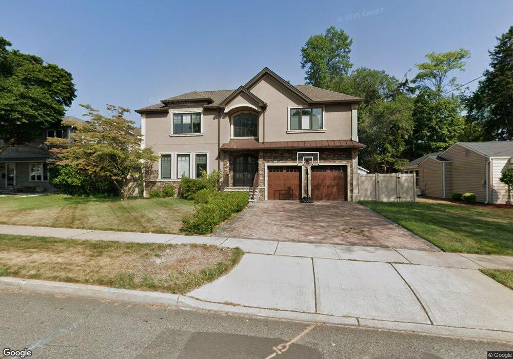
390 5th Ave River Edge, NJ 07661
Estimated Value: $1,307,000 - $1,716,000
5
Beds
5
Baths
2,941
Sq Ft
$492/Sq Ft
Est. Value
About This Home
This home is located at 390 5th Ave, River Edge, NJ 07661 and is currently estimated at $1,446,960, approximately $491 per square foot. 390 5th Ave is a home located in Bergen County with nearby schools including Cherry Hill School, River Dell Middle School, and River Dell Regional High School.
Ownership History
Date
Name
Owned For
Owner Type
Purchase Details
Closed on
Jan 30, 2019
Sold by
Hak Developers Llc
Bought by
Dabdee Deborah C and Dabdee Joseph P
Current Estimated Value
Purchase Details
Closed on
Dec 20, 2017
Sold by
Garre Capital Group Llc
Bought by
Hak Develoeprs Llc
Purchase Details
Closed on
Jun 19, 2017
Sold by
Owens Robert H
Bought by
Garee Capital Group Llc
Purchase Details
Closed on
May 12, 2017
Sold by
Owns Autumn Dewey and Owns Robert H
Bought by
Owens Robert H
Create a Home Valuation Report for This Property
The Home Valuation Report is an in-depth analysis detailing your home's value as well as a comparison with similar homes in the area
Home Values in the Area
Average Home Value in this Area
Purchase History
| Date | Buyer | Sale Price | Title Company |
|---|---|---|---|
| Dabdee Deborah C | $960,000 | -- | |
| Hak Develoeprs Llc | $390,000 | -- | |
| Garee Capital Group Llc | $353 | None Available | |
| Owens Robert H | -- | None Available |
Source: Public Records
Tax History
| Year | Tax Paid | Tax Assessment Tax Assessment Total Assessment is a certain percentage of the fair market value that is determined by local assessors to be the total taxable value of land and additions on the property. | Land | Improvement |
|---|---|---|---|---|
| 2025 | $26,807 | $1,117,400 | $361,600 | $755,800 |
| 2024 | $26,138 | $676,100 | $201,600 | $474,500 |
| 2023 | $25,016 | $676,100 | $201,600 | $474,500 |
| 2022 | $25,016 | $676,100 | $201,600 | $474,500 |
| 2021 | $24,522 | $676,100 | $201,600 | $474,500 |
| 2020 | $24,137 | $676,100 | $201,600 | $474,500 |
| 2019 | $23,447 | $676,100 | $201,600 | $474,500 |
| 2018 | $10,148 | $298,900 | $201,600 | $97,300 |
| 2017 | $10,049 | $298,900 | $201,600 | $97,300 |
| 2016 | $9,822 | $298,900 | $201,600 | $97,300 |
| 2015 | $9,366 | $298,900 | $201,600 | $97,300 |
| 2014 | $9,384 | $298,900 | $201,600 | $97,300 |
Source: Public Records
Map
Nearby Homes
- 374 Valley Rd
- 285 Wayne Ave
- 302 Howland Ave
- 215 Kensington Rd
- 457 the Fenway
- 122 Village Cir E
- 81 Eastbrook Dr
- 127 Village Cir E
- 189 Forest Ave Unit 117
- 189 Forest Ave Unit 409
- 239 Greenway Terrace
- 212 Monroe Ave
- 12 Gainesborough Terrace Unit 1B
- 16 Coles Ct
- 409 Windsor Rd
- 378 Windsor Rd
- 175 Valley Rd
- 117 Monroe Ave
- 214 Zabriskie Place
- 255 Bogert Rd Unit 2A
Your Personal Tour Guide
Ask me questions while you tour the home.