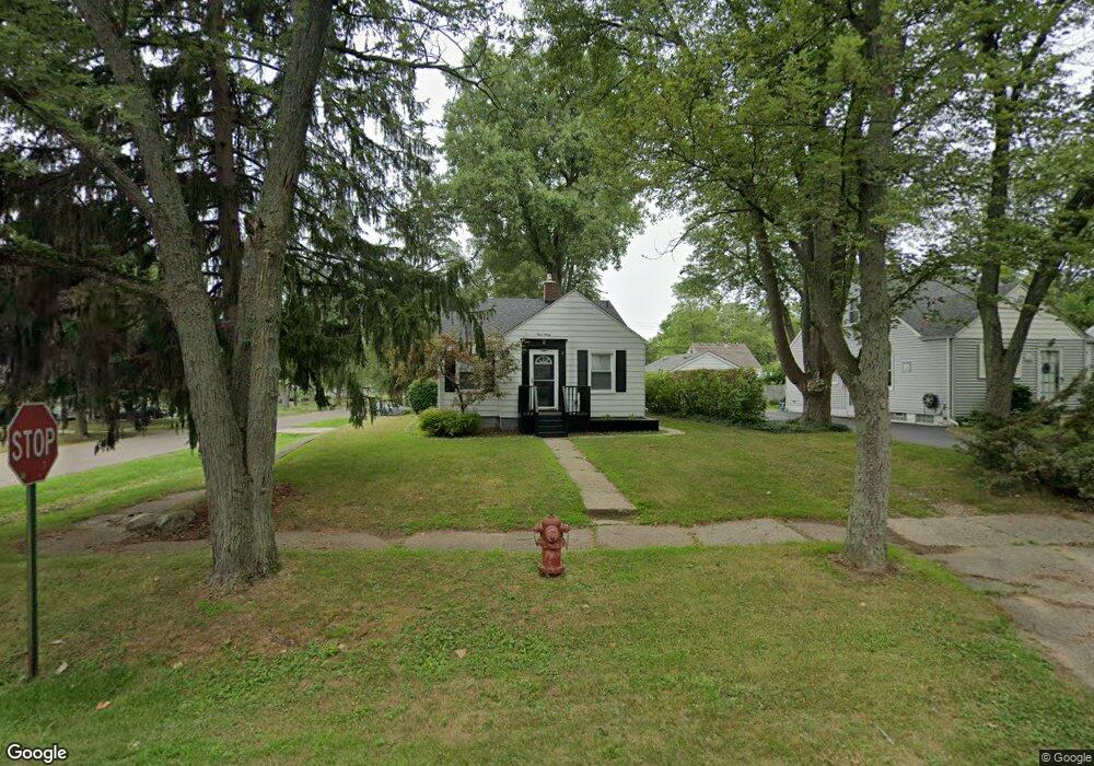
390 Ascot Ave Waterford, MI 48328
Waterford Township NeighborhoodEstimated Value: $187,775 - $230,000
2
Beds
1
Bath
751
Sq Ft
$280/Sq Ft
Est. Value
About This Home
This home is located at 390 Ascot Ave, Waterford, MI 48328 and is currently estimated at $210,194, approximately $279 per square foot. 390 Ascot Ave is a home located in Oakland County with nearby schools including Donelson Hills Elementary School, Mason Middle School, and Waterford Mott High School.
Ownership History
Date
Name
Owned For
Owner Type
Purchase Details
Closed on
May 18, 2010
Sold by
Lineberry Craig S
Bought by
Bank Of America National Association
Current Estimated Value
Purchase Details
Closed on
Mar 26, 1999
Sold by
Himmelspach William D
Bought by
Lineberry Craig S
Home Financials for this Owner
Home Financials are based on the most recent Mortgage that was taken out on this home.
Original Mortgage
$106,100
Interest Rate
7.05%
Purchase Details
Closed on
Feb 21, 1997
Sold by
Johnson Destiny A
Bought by
Himmelspach William D
Home Financials for this Owner
Home Financials are based on the most recent Mortgage that was taken out on this home.
Original Mortgage
$79,346
Interest Rate
7.93%
Create a Home Valuation Report for This Property
The Home Valuation Report is an in-depth analysis detailing your home's value as well as a comparison with similar homes in the area
Home Values in the Area
Average Home Value in this Area
Purchase History
| Date | Buyer | Sale Price | Title Company |
|---|---|---|---|
| Bank Of America National Association | $42,750 | None Available | |
| Lineberry Craig S | $106,200 | -- | |
| Himmelspach William D | $79,500 | -- |
Source: Public Records
Mortgage History
| Date | Status | Borrower | Loan Amount |
|---|---|---|---|
| Previous Owner | Lineberry Craig S | $106,100 | |
| Previous Owner | Himmelspach William D | $79,346 |
Source: Public Records
Tax History Compared to Growth
Tax History
| Year | Tax Paid | Tax Assessment Tax Assessment Total Assessment is a certain percentage of the fair market value that is determined by local assessors to be the total taxable value of land and additions on the property. | Land | Improvement |
|---|---|---|---|---|
| 2024 | $1,501 | $74,510 | $0 | $0 |
| 2023 | $1,417 | $69,980 | $0 | $0 |
| 2022 | $1,875 | $65,350 | $0 | $0 |
| 2021 | $1,793 | $63,910 | $0 | $0 |
| 2020 | $1,306 | $58,800 | $0 | $0 |
| 2019 | $1,755 | $53,080 | $0 | $0 |
| 2018 | $1,732 | $47,360 | $0 | $0 |
| 2017 | $1,628 | $47,360 | $0 | $0 |
| 2016 | $1,622 | $41,500 | $0 | $0 |
| 2015 | -- | $35,390 | $0 | $0 |
| 2014 | -- | $31,300 | $0 | $0 |
| 2011 | -- | $28,740 | $0 | $0 |
Source: Public Records
Map
Nearby Homes
- 445 Lakeside Dr
- 4003 Elmhurst Rd
- 3977 Cresthaven Dr
- 3860 Lawley Ave
- 126 S Roslyn Rd
- 4025 Cresthaven Dr
- 577 Lakeside Dr
- 4227 Lanette Dr
- 4199 Motorway Dr
- 581 S Winding Dr
- 549 Grixdale Ln
- 540 Lake Village Ave
- 603 Woodingham Ave
- The Dover Plan at Hogarth
- The Dawson Plan at Hogarth
- The Concord Plan at Hogarth
- The Everest Plan at Hogarth
- 433 Hogarth St
- 425 Hogarth St
- 424 Hogarth St