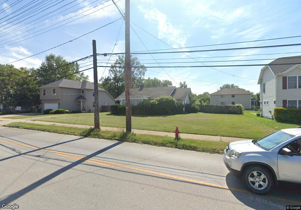
390 Babbitt Rd Euclid, OH 44123
Estimated Value: $142,710 - $180,000
2
Beds
2
Baths
1,545
Sq Ft
$104/Sq Ft
Est. Value
About This Home
This home is located at 390 Babbitt Rd, Euclid, OH 44123 and is currently estimated at $160,928, approximately $104 per square foot. 390 Babbitt Rd is a home located in Cuyahoga County with nearby schools including Arbor Elementary School, Euclid Middle School, and Euclid High School.
Ownership History
Date
Name
Owned For
Owner Type
Purchase Details
Closed on
Jan 30, 2006
Sold by
Serago Michael and Serago Jeanmarie
Bought by
Bell Clifford
Current Estimated Value
Purchase Details
Closed on
Feb 21, 1990
Sold by
Stein Lois J
Bought by
Serago Michael
Purchase Details
Closed on
Nov 9, 1982
Sold by
Stein Lois J 3 and Stein 4
Bought by
Stein Lois J
Purchase Details
Closed on
Sep 23, 1982
Sold by
Stein Ethel
Bought by
Stein Lois J 3 and Stein 4
Purchase Details
Closed on
Jan 1, 1975
Bought by
Stein Ethel
Create a Home Valuation Report for This Property
The Home Valuation Report is an in-depth analysis detailing your home's value as well as a comparison with similar homes in the area
Home Values in the Area
Average Home Value in this Area
Purchase History
| Date | Buyer | Sale Price | Title Company |
|---|---|---|---|
| Bell Clifford | $122,000 | Real Living Title Agency L | |
| Serago Michael | $60,000 | -- | |
| Stein Lois J | -- | -- | |
| Stein Lois J 3 | -- | -- | |
| Stein Ethel | -- | -- |
Source: Public Records
Tax History
| Year | Tax Paid | Tax Assessment Tax Assessment Total Assessment is a certain percentage of the fair market value that is determined by local assessors to be the total taxable value of land and additions on the property. | Land | Improvement |
|---|---|---|---|---|
| 2025 | $2,437 | $47,145 | $12,425 | $34,720 |
| 2024 | $2,601 | $47,145 | $12,425 | $34,720 |
| 2023 | $1,774 | $28,880 | $10,120 | $18,760 |
| 2022 | $1,768 | $28,875 | $10,115 | $18,760 |
| 2021 | $1,963 | $28,880 | $10,120 | $18,760 |
| 2020 | $1,927 | $26,740 | $9,380 | $17,360 |
| 2019 | $1,730 | $76,400 | $26,800 | $49,600 |
| 2018 | $1,749 | $26,740 | $9,380 | $17,360 |
| 2017 | $2,074 | $26,780 | $9,170 | $17,610 |
| 2016 | $2,078 | $26,780 | $9,170 | $17,610 |
| 2015 | $1,895 | $26,780 | $9,170 | $17,610 |
| 2014 | $1,895 | $26,780 | $9,170 | $17,610 |
Source: Public Records
Map
Nearby Homes
- 461 Kenwood Dr Unit T3
- 450 Kenwood Dr Unit D-12
- 521 Kenwood Dr Unit B-5
- 22751 Fox Ave
- 421 Kenwood Dr Unit G
- 336 E 222nd St
- 422 Clearview Dr Unit J10
- 442 Clearview Dr Unit U9
- 285 E 216th St
- 226 E 216th St
- 170 E 220th St
- 324 E 215th St
- 21971 Crystal Ave
- 324 E 235th St
- 94 E 217th St
- 21670 Crystal Ave
- 323 E 235th St
- 328 E 238th St
- 115 E 211th St
- 21051 S Lake Shore Blvd
- 400 Babbitt Rd
- 384 Babbitt Rd
- 22640 Lakemont Ave
- 22640 Lakemont Ave Unit 1
- 422 Babbitt Rd
- 22650 Lakemont Ave
- 22600 Lakemont Ave
- 424 Babbitt Rd
- 374 Babbitt Rd
- 22570 Lakemont Ave
- 436 Babbitt Rd
- 22671 Seabrooke Ave
- 22550 Lakemont Ave
- 370 Babbitt Rd
- 383 Babbitt Rd
- 450 Babbitt Rd
- 22651 Seabrooke Ave
- 22530 Lakemont Ave
- 364 Babbitt Rd
- 22631 Seabrooke Ave
Your Personal Tour Guide
Ask me questions while you tour the home.