Estimated Value: $67,077 - $119,000
2
Beds
1
Bath
998
Sq Ft
$99/Sq Ft
Est. Value
About This Home
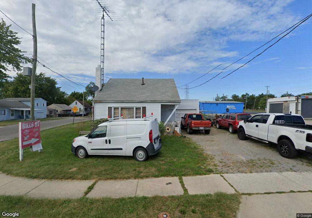
This home is located at 390 Brower Rd, Lima, OH 45801 and is currently estimated at $98,769, approximately $98 per square foot. 390 Brower Rd is a home located in Allen County with nearby schools including Elida Elementary School, Elida Middle School, and Elida High School.
Ownership History
Date
Name
Owned For
Owner Type
Purchase Details
Closed on
Apr 24, 2008
Sold by
Mckissick Georgianna L
Bought by
Mckissick William A
Current Estimated Value
Home Financials for this Owner
Home Financials are based on the most recent Mortgage that was taken out on this home.
Original Mortgage
$636,000
Outstanding Balance
$413,875
Interest Rate
6.5%
Estimated Equity
-$315,106
Purchase Details
Closed on
Aug 2, 1993
Sold by
Patrick Patricia and Patrick Andy
Bought by
Mccall William R
Purchase Details
Closed on
Aug 27, 1985
Bought by
Patrick Patricia and Patrick Andy
Create a Home Valuation Report for This Property
The Home Valuation Report is an in-depth analysis detailing your home's value as well as a comparison with similar homes in the area
Purchase History
| Date | Buyer | Sale Price | Title Company |
|---|---|---|---|
| Mckissick William A | -- | Attorney | |
| Mccall William R | -- | -- | |
| Patrick Patricia | -- | -- |
Source: Public Records
Mortgage History
| Date | Status | Borrower | Loan Amount |
|---|---|---|---|
| Open | Mckissick William A | $636,000 |
Source: Public Records
Tax History
| Year | Tax Paid | Tax Assessment Tax Assessment Total Assessment is a certain percentage of the fair market value that is determined by local assessors to be the total taxable value of land and additions on the property. | Land | Improvement |
|---|---|---|---|---|
| 2024 | $589 | $12,920 | $2,030 | $10,890 |
| 2023 | $644 | $12,290 | $1,930 | $10,360 |
| 2022 | $806 | $12,290 | $1,930 | $10,360 |
| 2021 | $646 | $12,290 | $1,930 | $10,360 |
| 2020 | $727 | $12,920 | $1,820 | $11,100 |
| 2019 | $727 | $12,920 | $1,820 | $11,100 |
| 2018 | $760 | $12,920 | $1,820 | $11,100 |
| 2017 | $644 | $11,900 | $1,820 | $10,080 |
| 2016 | $643 | $11,900 | $1,820 | $10,080 |
| 2015 | $598 | $11,900 | $1,820 | $10,080 |
| 2014 | $598 | $10,710 | $1,750 | $8,960 |
| 2013 | $540 | $10,710 | $1,750 | $8,960 |
Source: Public Records
Map
Nearby Homes
- 1705 Karen St
- 500 W Northern Ave
- 2224 N Metcalf St
- 2126 N Metcalf St
- 475 Kenmore St
- 207 W Lane Ave
- 520 Kenmore St
- 660 W Lane Ave
- 1889 N Metcalf St
- 2380 Mandolin Dr
- 2371 Mandolin Dr
- 1435 N Central Ave
- 1212 Virginia Ave
- 1143 Brower Rd
- 608 W O'Connor Ave
- 2286 N Cole St
- 645 W O'Connor Ave
- 760 W O'Connor Ave
- 576 W Ashton Ave
- 557 W Ashton Ave
Your Personal Tour Guide
Ask me questions while you tour the home.