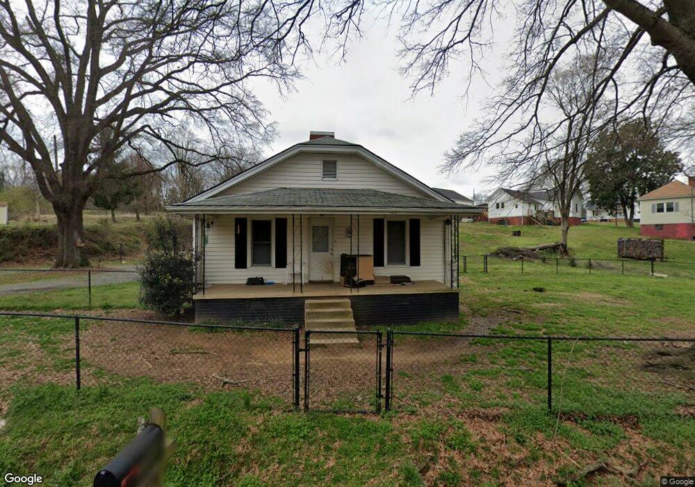
390 Burris Ct SW Concord, NC 28027
Estimated Value: $220,000 - $257,505
2
Beds
1
Bath
948
Sq Ft
$256/Sq Ft
Est. Value
About This Home
This home is located at 390 Burris Ct SW, Concord, NC 28027 and is currently estimated at $242,376, approximately $255 per square foot. 390 Burris Ct SW is a home located in Cabarrus County with nearby schools including Wolf Meadow Elementary School, Roberta Road Middle School, and The Daniel Academy of Concord.
Ownership History
Date
Name
Owned For
Owner Type
Purchase Details
Closed on
Jun 12, 2009
Sold by
The Bank Of New York Mellon
Bought by
Johnson Thomas Harold
Current Estimated Value
Purchase Details
Closed on
Mar 11, 2008
Sold by
Lambert Carolyn M
Bought by
Jp Morgan Chase Bank
Purchase Details
Closed on
Jul 1, 1983
Bought by
Lambert Don E and Lambert Carolyn M
Create a Home Valuation Report for This Property
The Home Valuation Report is an in-depth analysis detailing your home's value as well as a comparison with similar homes in the area
Home Values in the Area
Average Home Value in this Area
Purchase History
| Date | Buyer | Sale Price | Title Company |
|---|---|---|---|
| Johnson Thomas Harold | $43,000 | None Available | |
| Jp Morgan Chase Bank | $67,500 | None Available | |
| Lambert Don E | $16,000 | -- | |
| -- | $16,000 | -- |
Source: Public Records
Tax History Compared to Growth
Tax History
| Year | Tax Paid | Tax Assessment Tax Assessment Total Assessment is a certain percentage of the fair market value that is determined by local assessors to be the total taxable value of land and additions on the property. | Land | Improvement |
|---|---|---|---|---|
| 2025 | $1,979 | $198,690 | $76,800 | $121,890 |
| 2024 | $1,979 | $198,690 | $76,800 | $121,890 |
| 2023 | $1,258 | $103,150 | $24,000 | $79,150 |
| 2022 | $1,258 | $103,150 | $24,000 | $79,150 |
| 2021 | $1,258 | $103,150 | $24,000 | $79,150 |
| 2020 | $1,258 | $103,150 | $24,000 | $79,150 |
| 2019 | $1,047 | $85,850 | $16,800 | $69,050 |
| 2018 | $1,030 | $85,850 | $16,800 | $69,050 |
| 2017 | $1,013 | $85,850 | $16,800 | $69,050 |
| 2016 | $601 | $86,270 | $20,000 | $66,270 |
| 2015 | $1,018 | $86,270 | $20,000 | $66,270 |
| 2014 | $1,018 | $86,270 | $20,000 | $66,270 |
Source: Public Records
Map
Nearby Homes
- 64 Robinson Dr SW
- 368 Office Dr SW
- 758 Main St SW
- 782 Chalice St SW
- 809 Fargo Dr SW
- 82 Highland Ave SW
- 84 Highland Ave SW
- 207 Highland Ave SW
- Lot #2 Faith Dr SW
- 933 Old Charlotte Rd
- 600 Sunderland Rd
- 2893 Signal Ct SW
- 358 Cozart Ave SW
- 41 Fleetwood Dr SW
- 609 Faith Dr SW Unit 1
- 131 Swink St SW
- 220 Highland Ave SW
- 620 Palmer Ave SW
- 7 Bost Ave SW
- 302 Melrose Dr SW
- 396 Burris Ct SW
- 414 Burris Ct SW
- 651 Main St SW
- 655 Main St SW
- 659 Main St SW
- 663 Main St SW
- 420 Burris Ct SW
- 669 Main St SW
- 645 Main St SW
- 0000 Main St SW
- 662 Main St SW
- 648 Main St SW
- 654 Main St SW
- 673 Main St SW
- 668 Main St SW
- 672 Main St SW
- 625 Main St SW
- 18 Cross Ave SW
- 632 Main St SW
- 628 Main St SW