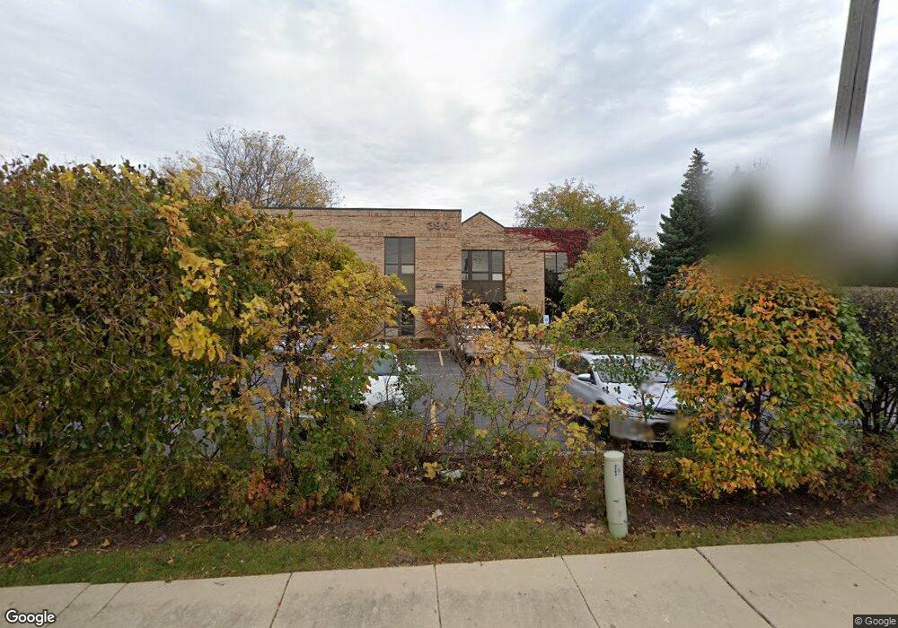
390 E Devon Ave Roselle, IL 60172
Studio
--
Bath
--
Sq Ft
14,985
Sq Ft Lot
About This Home
This home is located at 390 E Devon Ave, Roselle, IL 60172. 390 E Devon Ave is a home located in Cook County with nearby schools including Edwin Aldrin Elementary School, Robert Frost Junior High School, and J B Conant High School.
Ownership History
Date
Name
Owned For
Owner Type
Purchase Details
Closed on
Aug 15, 1997
Sold by
Izzi Edoardo
Bought by
First American Bank and Trust #1-97-139
Home Financials for this Owner
Home Financials are based on the most recent Mortgage that was taken out on this home.
Original Mortgage
$430,000
Outstanding Balance
$61,454
Interest Rate
8.5%
Mortgage Type
Commercial
Purchase Details
Closed on
Apr 2, 1997
Sold by
Pizzuto Richard
Bought by
Beine Keith
Create a Home Valuation Report for This Property
The Home Valuation Report is an in-depth analysis detailing your home's value as well as a comparison with similar homes in the area
Home Values in the Area
Average Home Value in this Area
Purchase History
| Date | Buyer | Sale Price | Title Company |
|---|---|---|---|
| First American Bank | -- | -- | |
| Beine Keith | -- | -- |
Source: Public Records
Mortgage History
| Date | Status | Borrower | Loan Amount |
|---|---|---|---|
| Open | First American Bank | $430,000 |
Source: Public Records
Tax History
| Year | Tax Paid | Tax Assessment Tax Assessment Total Assessment is a certain percentage of the fair market value that is determined by local assessors to be the total taxable value of land and additions on the property. | Land | Improvement |
|---|---|---|---|---|
| 2025 | $42,669 | $144,001 | $37,478 | $106,523 |
| 2024 | $42,669 | $146,975 | $26,234 | $120,741 |
| 2023 | $41,209 | $146,975 | $26,234 | $120,741 |
| 2022 | $41,209 | $146,975 | $26,234 | $120,741 |
| 2021 | $44,072 | $139,785 | $26,234 | $113,551 |
| 2020 | $53,702 | $173,000 | $26,234 | $146,766 |
| 2019 | $51,340 | $184,572 | $26,234 | $158,338 |
| 2018 | $39,551 | $128,194 | $21,549 | $106,645 |
| 2017 | $28,219 | $93,214 | $21,549 | $71,665 |
| 2016 | $21,207 | $74,792 | $21,549 | $53,243 |
| 2015 | $21,541 | $69,739 | $21,549 | $48,190 |
| 2014 | $20,813 | $68,870 | $21,549 | $47,321 |
| 2013 | $18,182 | $62,044 | $21,549 | $40,495 |
Source: Public Records
Map
Nearby Homes
- 219 N Prospect St
- 207 Town Acres Ln
- 100 N Bokelman St Unit 330
- 100 N Bokelman St Unit 329
- 50 N Bokelman St Unit 234
- 1630 Myrtle Park St
- 460 W Irving Park Rd
- 366 Ventura Club Dr
- 380 Ventura Club Dr
- 100 Pratt Blvd
- 455 E Granville Ave
- 1500 Illinois St
- 1323 S Roselle Rd
- 134 Lunt Ave
- 13 W Monterey Ave
- 24W330 Central Ave
- 56 Salt Creek Rd Unit A
- 2235 Lake Shore Dr
- 2239 Lake Shore Dr
- 2237 Lake Shore Dr
- 390 E Devon Ave Unit 202
- 390 E Devon Ave Unit 201
- 405 N Roselle Rd
- 404 Springwood Dr
- 400 Springwood Dr
- 408 Springwood Dr
- 489 N Roselle Rd
- 407 N Roselle Rd
- 463 N Roselle Rd
- 459 N Roselle Rd
- 465 N Roselle Rd
- 412 Springwood Dr
- 487 N Roselle Rd
- 416 Springwood Dr
- 405 Springwood Dr
- 401 Springwood Dr
- 50 Springwood Ct
- 410 N Roselle Rd
- 420 N Roselle Rd
- 420 Springwood Dr
Your Personal Tour Guide
Ask me questions while you tour the home.