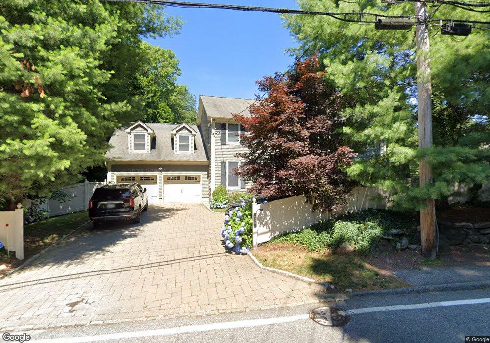
390 Fort Hill Rd Scarsdale, NY 10583
Greenville Westchester NeighborhoodEstimated Value: $1,890,000 - $2,401,000
5
Beds
4
Baths
3,900
Sq Ft
$528/Sq Ft
Est. Value
About This Home
This home is located at 390 Fort Hill Rd, Scarsdale, NY 10583 and is currently estimated at $2,059,829, approximately $528 per square foot. 390 Fort Hill Rd is a home located in Westchester County with nearby schools including Edgemont Junior/Senior High School.
Ownership History
Date
Name
Owned For
Owner Type
Purchase Details
Closed on
Apr 21, 1999
Sold by
Sab Development Corp
Bought by
Kaizer Andrew and Pesce Teresa
Current Estimated Value
Home Financials for this Owner
Home Financials are based on the most recent Mortgage that was taken out on this home.
Original Mortgage
$612,000
Interest Rate
7.5%
Create a Home Valuation Report for This Property
The Home Valuation Report is an in-depth analysis detailing your home's value as well as a comparison with similar homes in the area
Home Values in the Area
Average Home Value in this Area
Purchase History
| Date | Buyer | Sale Price | Title Company |
|---|---|---|---|
| Kaizer Andrew | $765,000 | Chicago Title Insurance Co |
Source: Public Records
Mortgage History
| Date | Status | Borrower | Loan Amount |
|---|---|---|---|
| Open | Kaizer Andrew | $76,500 | |
| Previous Owner | Kaizer Andrew | $612,000 |
Source: Public Records
Tax History Compared to Growth
Tax History
| Year | Tax Paid | Tax Assessment Tax Assessment Total Assessment is a certain percentage of the fair market value that is determined by local assessors to be the total taxable value of land and additions on the property. | Land | Improvement |
|---|---|---|---|---|
| 2024 | $19,392 | $1,561,400 | $602,000 | $959,400 |
| 2023 | $18,727 | $1,492,200 | $501,700 | $990,500 |
| 2022 | $17,686 | $1,413,700 | $501,700 | $912,000 |
| 2021 | $48,059 | $1,309,000 | $501,700 | $807,300 |
| 2020 | $47,511 | $1,379,200 | $557,400 | $821,800 |
| 2019 | $46,880 | $1,379,200 | $557,400 | $821,800 |
| 2018 | $45,235 | $1,379,200 | $557,400 | $821,800 |
| 2017 | $25,170 | $1,340,600 | $557,400 | $783,200 |
| 2016 | $9,087 | $1,289,000 | $557,400 | $731,600 |
| 2015 | -- | $34,300 | $6,400 | $27,900 |
| 2014 | -- | $34,300 | $6,400 | $27,900 |
| 2013 | $39,597 | $34,300 | $6,400 | $27,900 |
Source: Public Records
Map
Nearby Homes
- 15 High Point Terrace
- 6 Eaton Ln
- 2 High Point Terrace
- 11 Sentry Place Unit 2C
- 16 Sundale Place
- 2 Fountain Ln Unit 2P
- 2 Fountain Ln Unit 1N
- 2 Fountain Ln Unit 3P
- 0 High Point Ln
- 52 Sprain Valley Rd
- 16 High Point Ln
- 52 Underhill Rd Unit 2B
- 31 Old Army Rd
- 5 Campus Place Unit 2B
- 3 Campus Place Unit 1C
- 100 Woodford Rd
- 29 Cheshire Ln
- 80 Dorset Rd
- 3 Vandalay Ct
- 110 Edgemont Rd
- 392 Fort Hill Rd
- 388 Fort Hill Rd
- 17 Scarsdale Farm Rd
- 380 Fort Hill Rd
- 11 Scarsdale Farm Rd
- 424 Fort Hill Rd
- 1 Maple Ridge Ct
- 403 Fort Hill Rd
- 4 Maple Ridge Ct
- 372 Fort Hill Rd
- 9 Scarsdale Farm Rd
- 19 Scarsdale Farm Rd
- 373 Fort Hill Rd
- 3 Maple Ridge Ct
- 1 Scarsdale Farm Rd
- 5 Scarsdale Farm Rd
- 4 Fort Hill Ln
- 1 Fort Hill Ln
- 364 Fort Hill Rd
- 5 Maple Ridge Ct