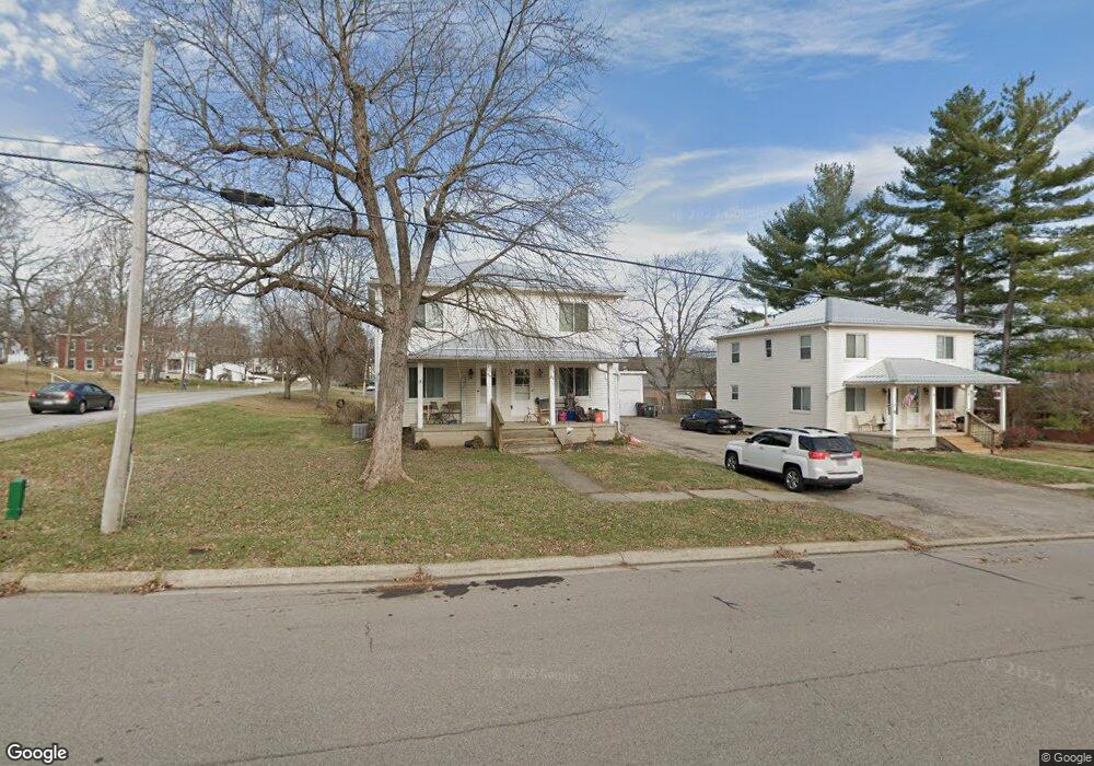
390 High St Waynesville, OH 45068
Wayne Township NeighborhoodEstimated Value: $221,000 - $260,000
4
Beds
2
Baths
1,920
Sq Ft
$129/Sq Ft
Est. Value
About This Home
This home is located at 390 High St, Waynesville, OH 45068 and is currently estimated at $247,575, approximately $128 per square foot. 390 High St is a home located in Warren County with nearby schools including Waynesville Elementary School, Waynesville Middle School, and Waynesville High School.
Ownership History
Date
Name
Owned For
Owner Type
Purchase Details
Closed on
Apr 18, 2007
Sold by
Pollack Nicole D and Schear Nicole D
Bought by
Gabbard Keith and Gabbard Jamie R
Current Estimated Value
Home Financials for this Owner
Home Financials are based on the most recent Mortgage that was taken out on this home.
Original Mortgage
$121,400
Outstanding Balance
$73,563
Interest Rate
6.19%
Mortgage Type
Purchase Money Mortgage
Estimated Equity
$174,012
Purchase Details
Closed on
Nov 23, 1988
Sold by
Foley Foley and Foley Michael E
Bought by
Foley and Foley Michael E
Purchase Details
Closed on
Dec 19, 1980
Sold by
Hubbell & Fred C & Trustee
Purchase Details
Closed on
Oct 22, 1980
Sold by
Hubbell Hubbell and Hubbell Michael R
Create a Home Valuation Report for This Property
The Home Valuation Report is an in-depth analysis detailing your home's value as well as a comparison with similar homes in the area
Home Values in the Area
Average Home Value in this Area
Purchase History
| Date | Buyer | Sale Price | Title Company |
|---|---|---|---|
| Gabbard Keith | $135,000 | Sterling Land Title Agency I | |
| Foley | -- | -- | |
| -- | $90,000 | -- | |
| -- | -- | -- |
Source: Public Records
Mortgage History
| Date | Status | Borrower | Loan Amount |
|---|---|---|---|
| Open | Gabbard Keith | $121,400 |
Source: Public Records
Tax History Compared to Growth
Tax History
| Year | Tax Paid | Tax Assessment Tax Assessment Total Assessment is a certain percentage of the fair market value that is determined by local assessors to be the total taxable value of land and additions on the property. | Land | Improvement |
|---|---|---|---|---|
| 2024 | $3,198 | $71,270 | $15,580 | $55,690 |
| 2023 | $2,819 | $54,526 | $9,583 | $44,943 |
| 2022 | $2,765 | $54,527 | $9,583 | $44,944 |
| 2021 | $2,662 | $54,527 | $9,583 | $44,944 |
| 2020 | $2,520 | $44,331 | $7,791 | $36,540 |
| 2019 | $2,521 | $44,331 | $7,791 | $36,540 |
| 2018 | $2,522 | $44,331 | $7,791 | $36,540 |
| 2017 | $2,502 | $41,038 | $7,326 | $33,712 |
| 2016 | $2,357 | $41,038 | $7,326 | $33,712 |
| 2015 | $2,361 | $41,038 | $7,326 | $33,712 |
| 2014 | $2,271 | $37,310 | $6,660 | $30,650 |
| 2013 | $2,268 | $43,630 | $7,790 | $35,840 |
Source: Public Records
Map
Nearby Homes
- 196 S 3rd St
- 460 Miami St
- 53 S 4th St
- 155 S Main St
- 0 Ohio 73 Unit 944080
- 401 Wilkerson Ln
- 350 Somerset Ln
- 363 Victoria Place
- 437 N Main St
- 4 Corwin Rd
- 127 New Burlington Rd
- 1198 Lytle Rd
- 1036 Bayberry Dr
- Tract 2 O'Neall Rd
- 5669 O Neall Rd
- 4752 E Lower Springboro Rd
- 7219 N Route 42
- 7219 U S 42
- Tract 3 O'Neall Rd
- 7219 N Us Rt 42