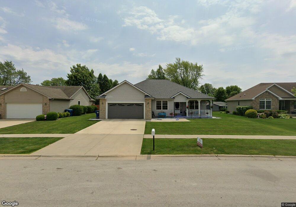
390 Highpoint Cir S Bourbonnais, IL 60914
Estimated Value: $301,000 - $336,942
3
Beds
3
Baths
1,700
Sq Ft
$187/Sq Ft
Est. Value
About This Home
This home is located at 390 Highpoint Cir S, Bourbonnais, IL 60914 and is currently estimated at $317,236, approximately $186 per square foot. 390 Highpoint Cir S is a home located in Kankakee County with nearby schools including Noel Levasseur Elementary School, Liberty Intermediate School, and Bourbonnais Upper Grade Center.
Ownership History
Date
Name
Owned For
Owner Type
Purchase Details
Closed on
May 6, 2005
Sold by
Lovell Constructors Inc
Bought by
Hospodar Roy and Hospodar Marsha
Current Estimated Value
Home Financials for this Owner
Home Financials are based on the most recent Mortgage that was taken out on this home.
Original Mortgage
$194,500
Outstanding Balance
$102,778
Interest Rate
6.05%
Mortgage Type
New Conventional
Estimated Equity
$214,458
Create a Home Valuation Report for This Property
The Home Valuation Report is an in-depth analysis detailing your home's value as well as a comparison with similar homes in the area
Home Values in the Area
Average Home Value in this Area
Purchase History
| Date | Buyer | Sale Price | Title Company |
|---|---|---|---|
| Hospodar Roy | $194,500 | Standard Title |
Source: Public Records
Mortgage History
| Date | Status | Borrower | Loan Amount |
|---|---|---|---|
| Open | Hospodar Roy | $194,500 |
Source: Public Records
Tax History Compared to Growth
Tax History
| Year | Tax Paid | Tax Assessment Tax Assessment Total Assessment is a certain percentage of the fair market value that is determined by local assessors to be the total taxable value of land and additions on the property. | Land | Improvement |
|---|---|---|---|---|
| 2024 | $7,498 | $101,540 | $12,030 | $89,510 |
| 2023 | $5,908 | $91,605 | $11,139 | $80,466 |
| 2022 | $6,585 | $82,819 | $10,736 | $72,083 |
| 2021 | $6,349 | $79,615 | $10,500 | $69,115 |
| 2020 | $6,287 | $77,484 | $10,219 | $67,265 |
| 2019 | $6,154 | $75,227 | $9,921 | $65,306 |
| 2018 | $5,906 | $72,241 | $9,774 | $62,467 |
| 2017 | $5,788 | $70,479 | $9,536 | $60,943 |
| 2016 | $5,644 | $69,007 | $9,395 | $59,612 |
| 2015 | $5,530 | $67,305 | $9,302 | $58,003 |
| 2014 | $5,363 | $67,906 | $9,302 | $58,604 |
| 2013 | -- | $69,370 | $9,302 | $60,068 |
Source: Public Records
Map
Nearby Homes
- 1582 Mid Court Dr
- 444 Highpoint Cir N
- 172 Anita Dr
- 220 Kathy Dr
- 42 Emery Dr
- 22 Emery Dr
- 1230 Eagle Bluff Dr
- 730 Tremont St
- 9 Hilltop Dr
- 1533 Stefanie Ln
- 1923 Summerfield Ln
- 1613 Stefanie Ln
- 471 Spring Park Loop
- 501 Spring Park Loop
- 859 Pheasant Run
- 490 Meadows Rd N
- 5659 N 1000 West Rd
- 1063 Yale Ave
- 14 Saint Michaels Dr
- 710 Arbor Pkwy Unit A
- 380 Highpoint Cir S
- 410 Highpoint Cir S
- 370 Highpoint Cir S
- 430 Highpoint Cir S
- 417 Anita Dr
- 405 Anita Dr
- 429 Anita Dr
- 405 Highpoint Cir S
- 425 Highpoint Cir S
- 389 Anita Dr
- 441 Anita Dr
- 385 Highpoint Cir S
- 440 Highpoint Cir S
- 445 Highpoint Cir S
- 377 Anita Dr
- 375 Highpoint Cir S
- 453 Anita Dr
- 424 Anita Dr
- 396 Anita Dr
- 436 Anita Dr